As far as backpacking trips go, having the opportunity to get out into a Wilderness area (Wilderness with a capital "W") probably takes the cake. In my trip resume, the experiences I have had in these wild places definitely punctuate a diverse list of destinations with extra panache. You just feel more alive and in touch with nature on a different level than the more popular areas. This past November, my adventure partner Chris and I chose to come back to Cranberry Wilderness to explore a new zone that neither of us had visited. More on our route later but here is a bit about Cranberry.
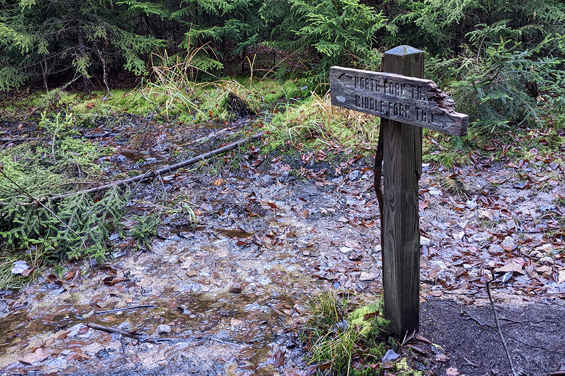
The Cranberry Wilderness is a 47,815 acre tract of land in the Monongahela National Forest in West Virginia that was first established in 1983. The wilderness includes the drainages of both the Middle Fork of the Williams and the North Fork of the Cranberry Rivers. Elevations within the area range from about 2,400 feet to above 4,600 feet with lush Appalachian hardwood forests down below and spruce forests that resemble what you might find at Canadian latitudes up high. Because it is a Wilderness area (note the capital "W" again), the trails are unmarked. While most are well travelled, it can be a challenge to navigate sometimes so a map, compass, and navigation skills are a must have. It is also a designated bear sanctuary which makes it important to be responsible with food, trash, and waste (leave no trace).
Because this area has less Instagram-worthy vistas and because it is just more rugged and remote, there are less people that visit. Every time I come here (ok, it's only my second time) my experience is like eating a premium dessert that I don't feel like I deserve.
Our Route
This would be Chris's third trip to Cranberry. His second expedition into the area was with his bro-in-law Ken back in December of 2021. They explored the southern half using North South Trail, North Fork Trail and Birch Log Trail. Read about their adventure here.
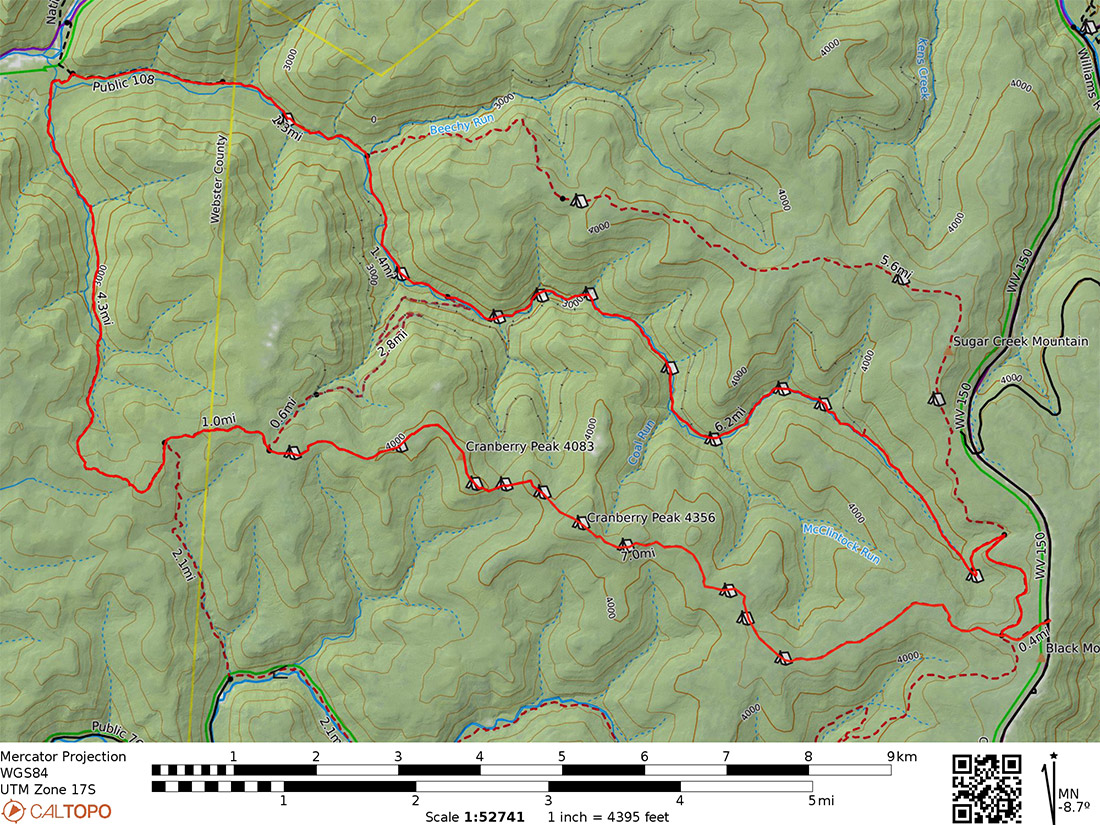
That being said, I wanted to map out a route which used trails neither of us had used before. There are several very remote trails in the northern portion and they are challenging to get to in just a weekend. We both live south of Cranberry which also makes it a challenge to get to the northern trailheads of the Wilderness area in that it adds another hour to the drive. With that in mind I put together about 5 route options and we settled on a loop that starts and ends at North South trailhead, heads into the Wilderness via North South Trail, then down Little Fork Trail, then up Middle Fork Trail back to North Fork Trail and exits via North South Trail back to the car. Neither of us had explored the western part of North South after Birch Log or Little Fork. It would be fun to explore this new territory.
Here's the breakdown of what we settled on for each day.
| Segment | Distance | Elevation +/- | Duration |
|---|---|---|---|
| Day 1: North South Trail | 4.84M | +448 ft./-891 ft. | 2:12:00 |
| Day 2: Laurely Branch to Middle Fork | 11.55M | +1,151 ft./-2,391 ft. | 5:46:00 |
| Day 3: Middle Fork to TH | 7.76M | +1,877 ft./-179 ft. | 3:52:00 |
The overall planned mileage would be 24.2M and elevation gain/loss would be about +3,476 ft. and -3,461 ft..
Gear
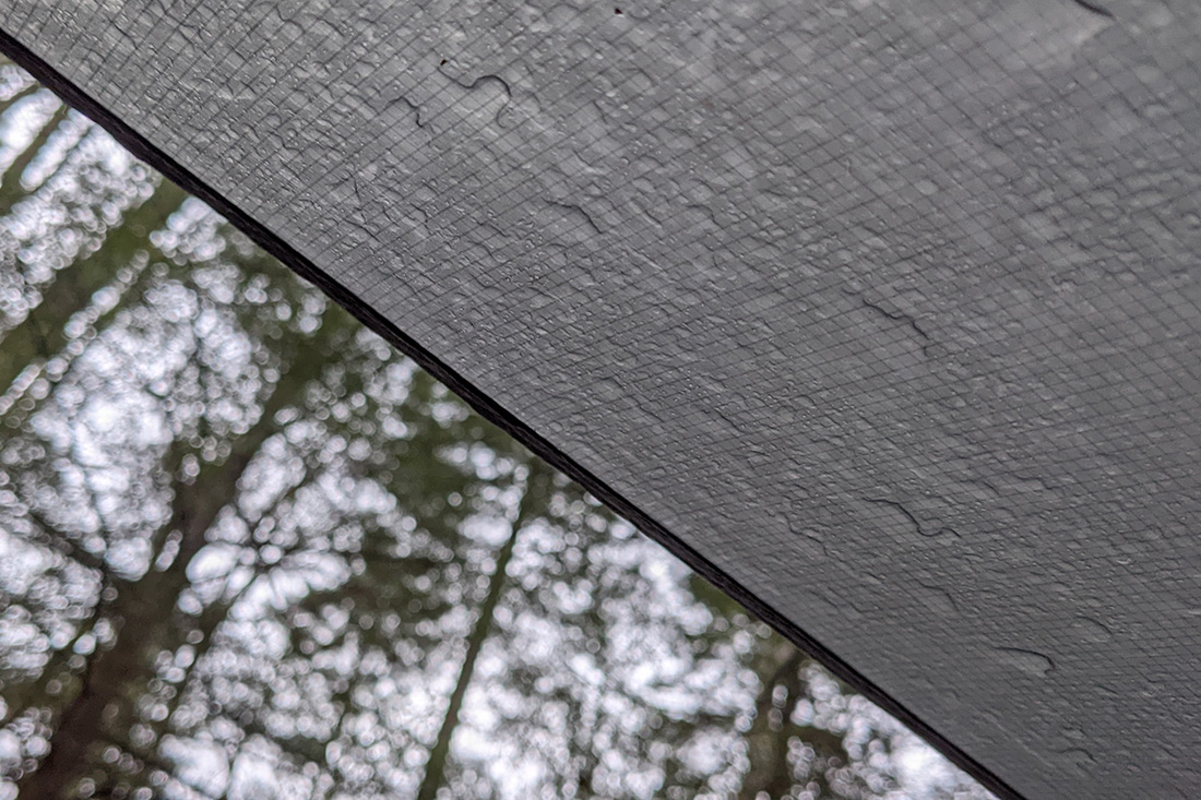
As always, the weather dictates what we bring on these trips and the forecast called for a lot of rain on Saturday with highs in the upper 60's, some rain on Sunday with highs in the upper 60's then sunny on Monday with highs in the lower 70's. Definitely mild for November in West Virginia. The rain wasn't ideal but we weren't totally discouraged because it would be less wet as the weekend progressed.
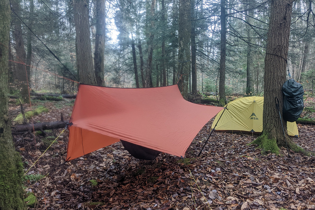
I used my Gregory Z45 pack because I would definitely be bringing my MSR Hubba given the forecast. If the forecast were clear I might consider a tarp or bivy. The Hubba + shoulder season gear + a couple of luxury items (Helinox chair + brown adult beverage) fit perfectly in the Z45.
Day 1
5.51 M | +479 ft. gain | -1,070 ft. loss
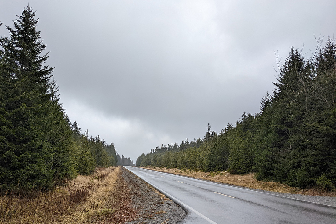
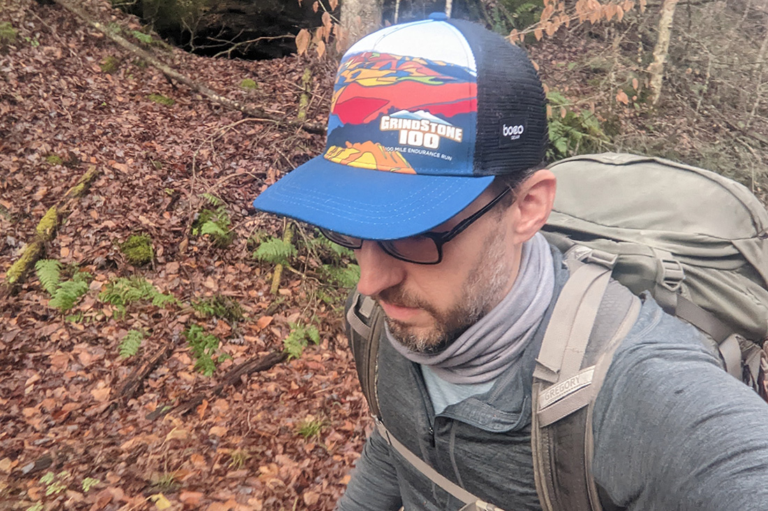
Chris drove up from High Point, NC to Roanoke, VA on Saturday morning and as he arrived, the sky opened up. It was definitely a sign of things to come. We got his gear in my car and we hit the road around 11 after saying goodbye to my wife and kiddos.
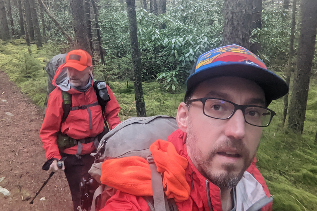
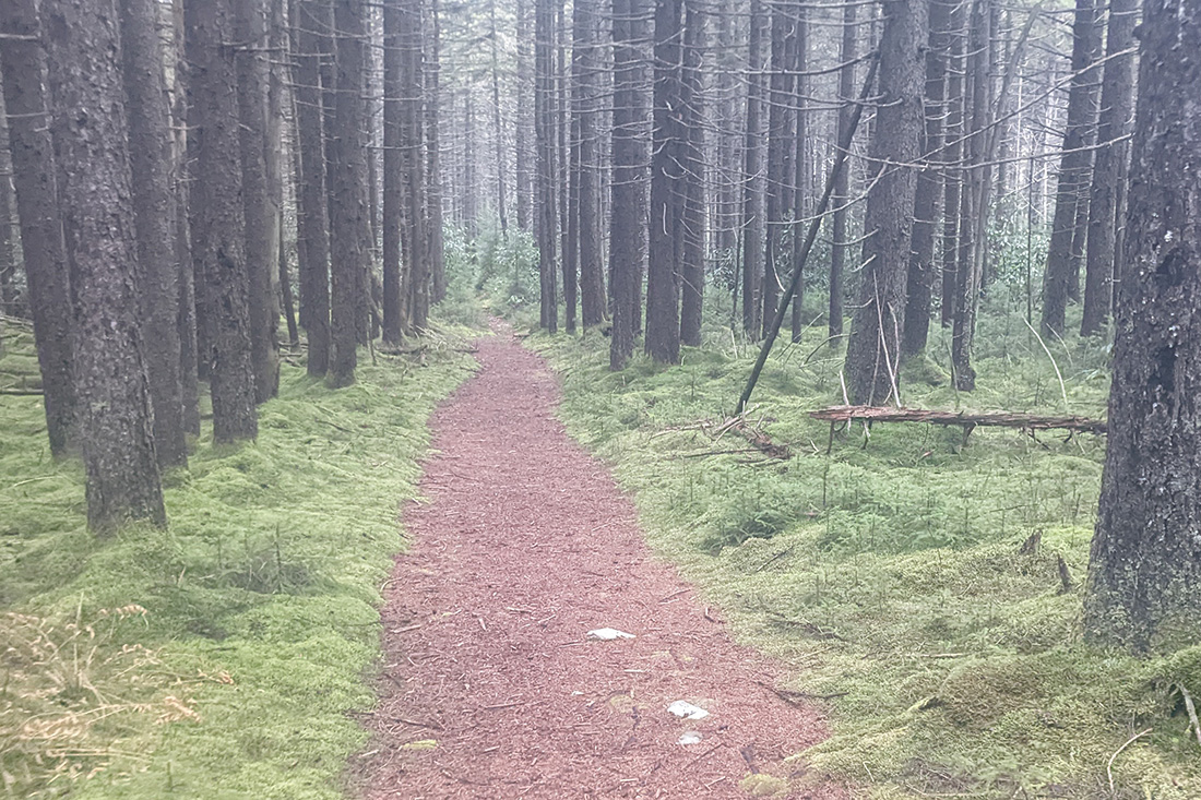
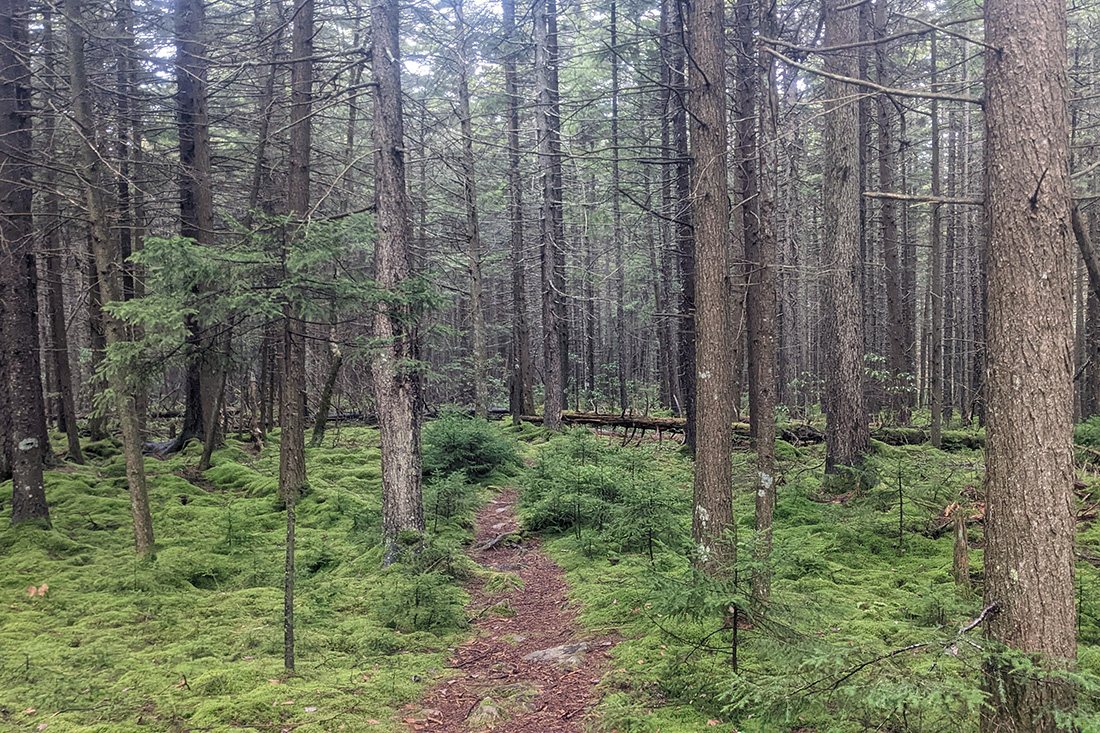
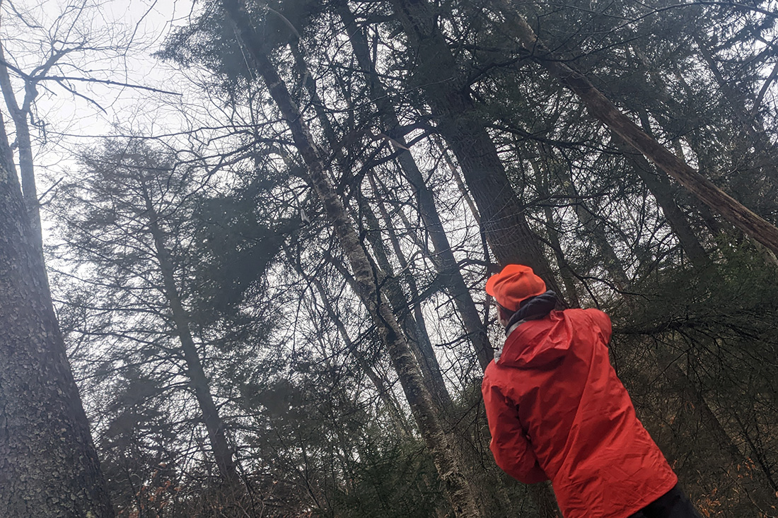
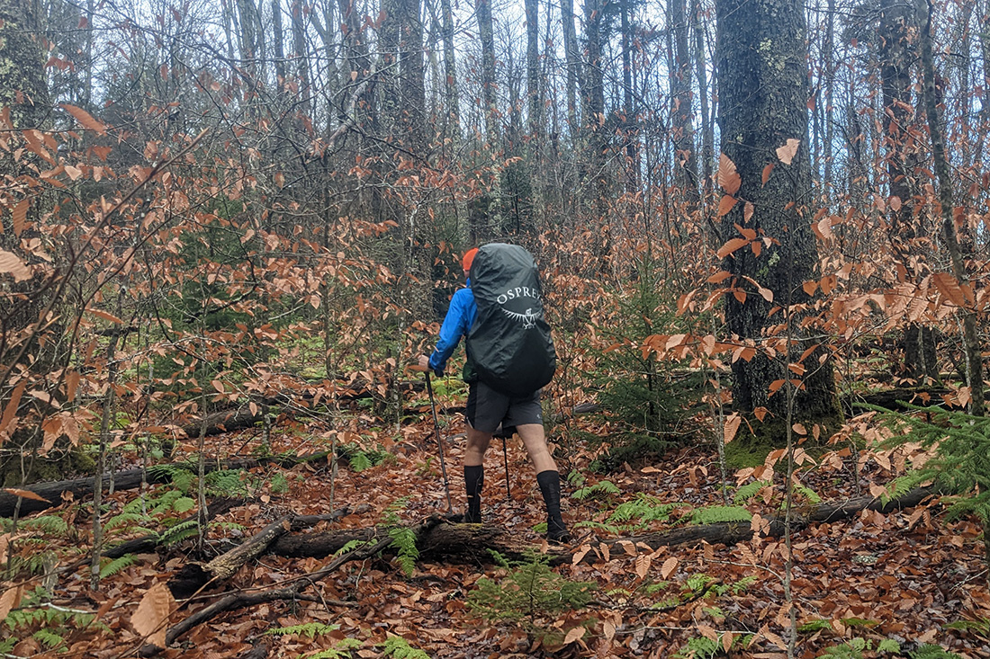
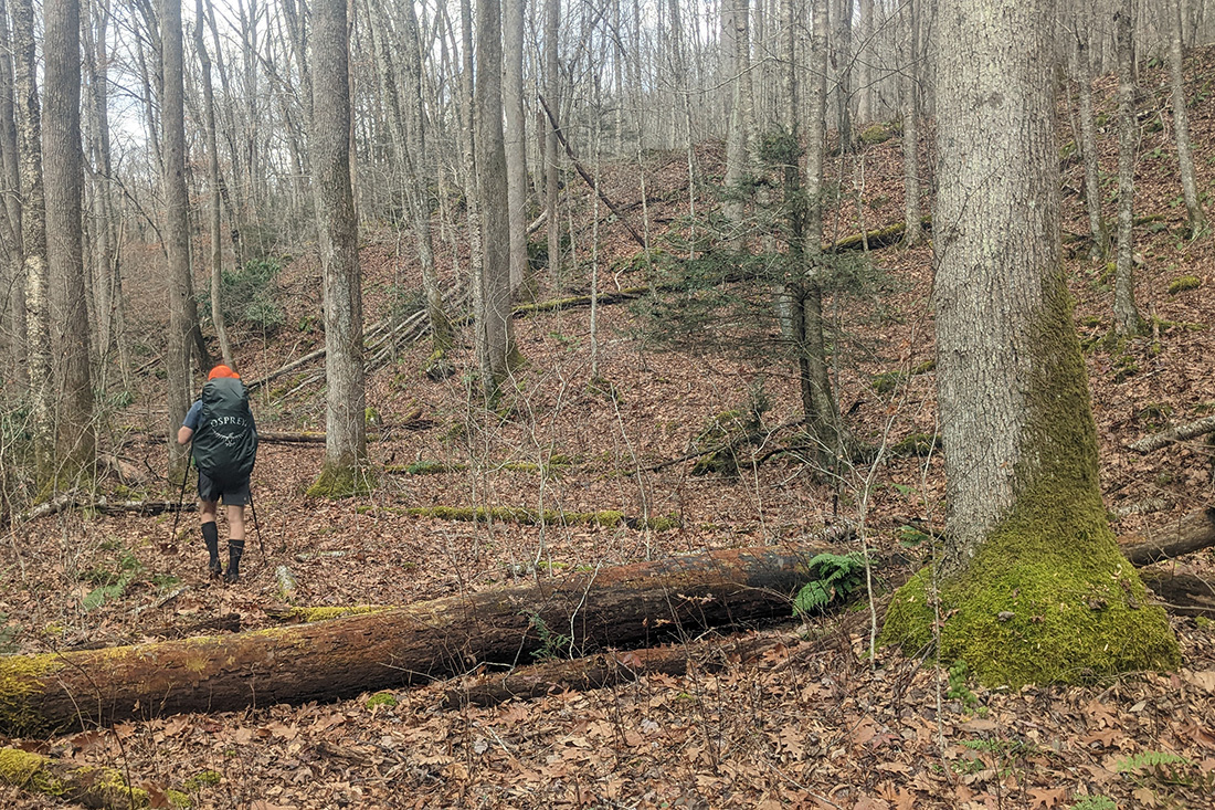
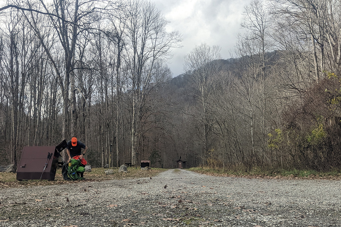
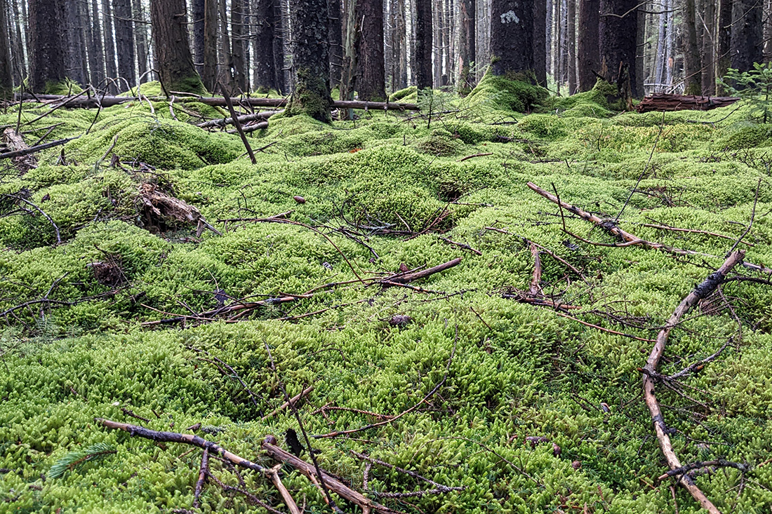
On the drive the rain eventually stopped and we made the remark that aside from the clouds, it wasn't bad out. We arrived at the North South trailhead around 1 and the moment we pulled into the small parking lot, the sky opened up again. We got rain gear on, packs on, car locked and got on the trail. As we proceeded up North South, the rain petered off. We ran into a couple with a dog, then eventually another couple. From the get-go, Cranberry has these lush green moss covered forest floors that seem to absorb all noise. We passed through a couple of these sections as we traversed the ridge that North South follows.
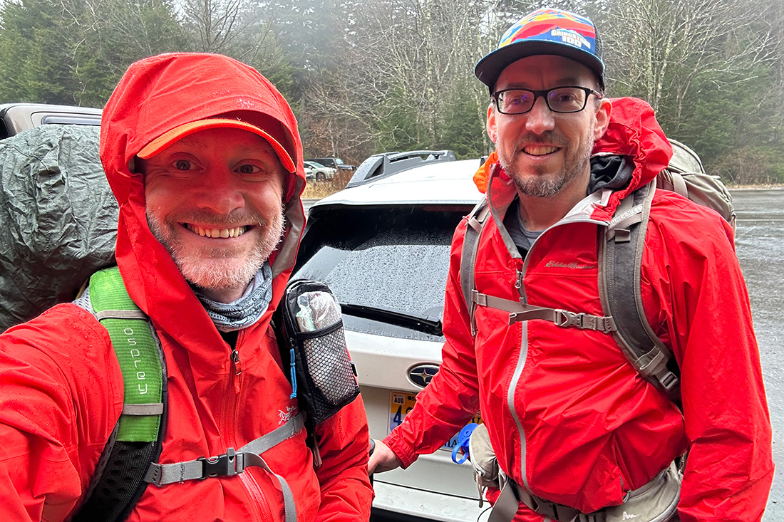
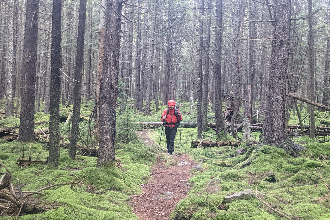
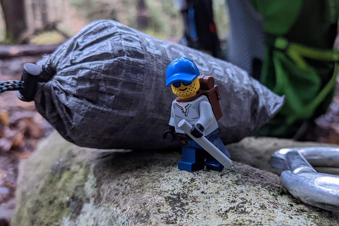
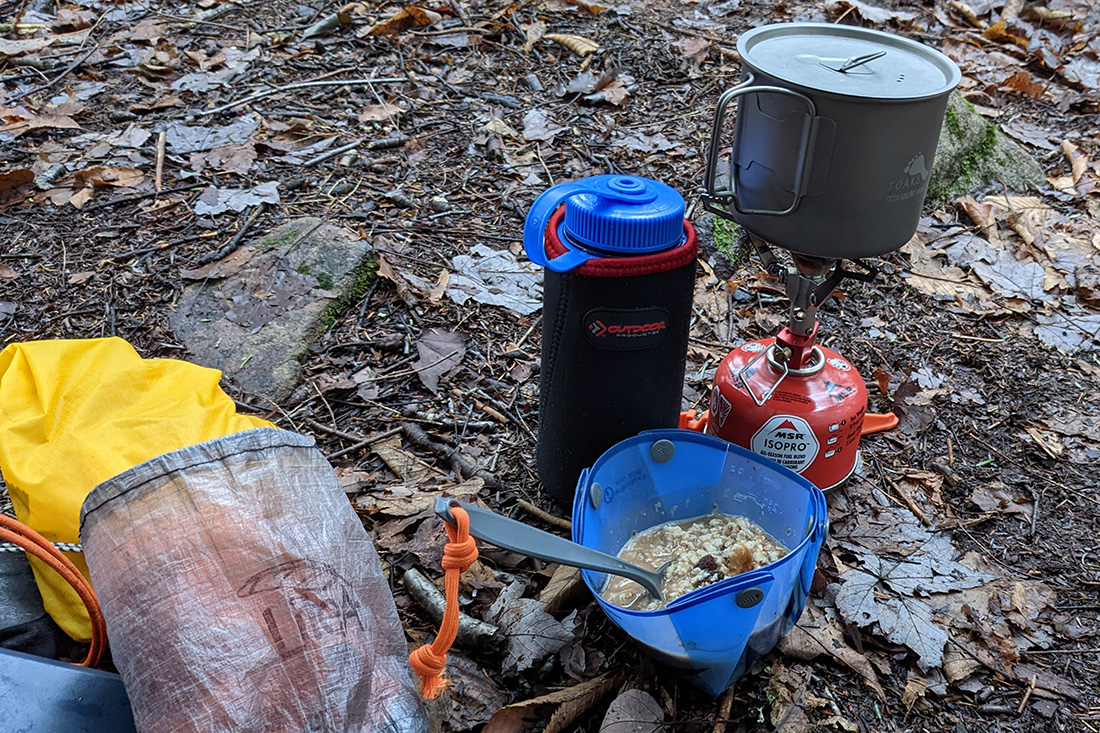
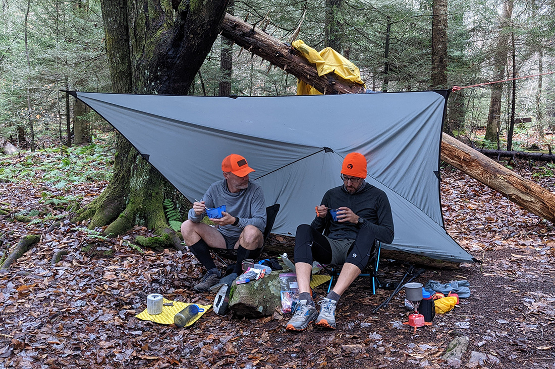
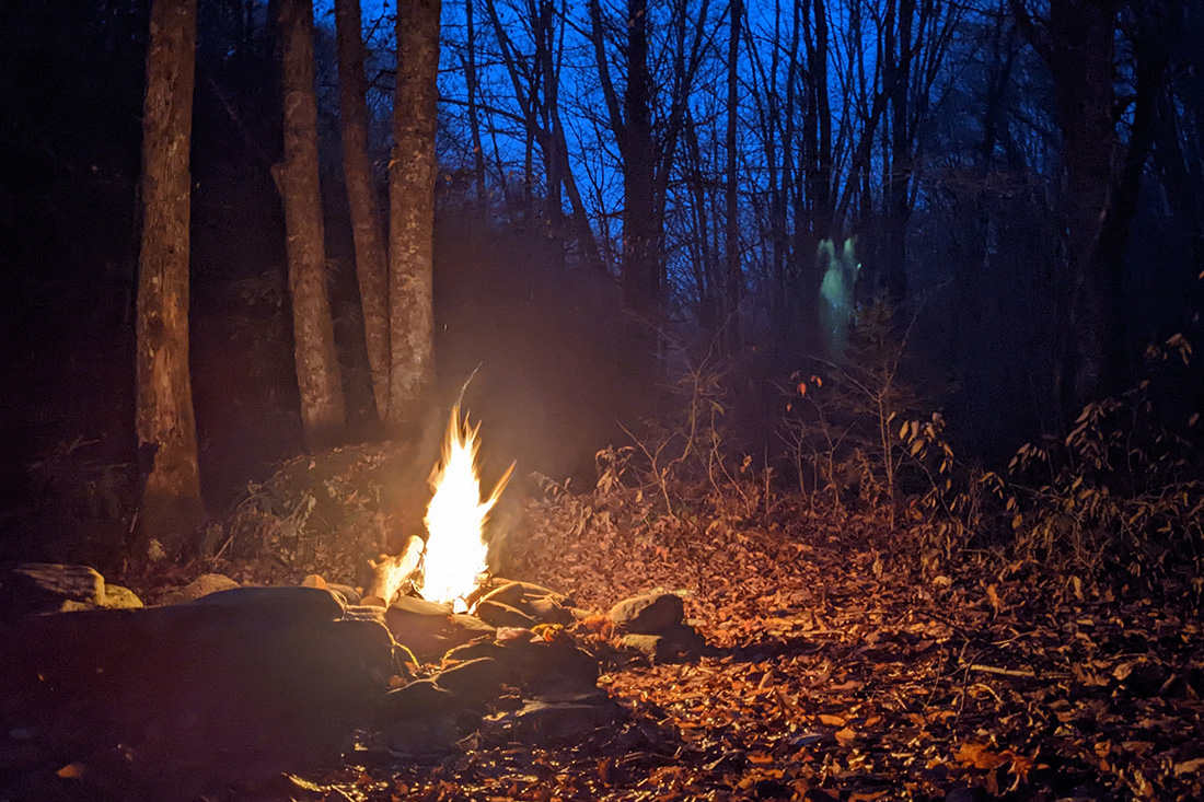
As we walked, the wind picked up more and more. We arrived at our planned campsite which was a little higher up in elevation but it meant that we'd be exposed to the forecasted gusty winds that night so we decided to press on to find a campsite that Chris knew about from his previous trip with Ken. We eventually arrived a few miles later and it was drizzling slightly which meant that we needed to get shelters up pretty quickly. I brought a 10 x 9 tarp and we rigged it up so that both he and I could sit under it during the impending rain. The next chore was setting up shelters. After that, we (and by we I mean 99.87929% Chris) found a tree to use for hanging our bear bags. I think my contribution was saying "Yep, that one looks good." It's always nice to have that set up before it gets dark.
As the evening wore on, the drizzle turned into steady rain and then periodic downpours. No fire tonight but at least we had the tarp. We had dinners, caught up on recent happenings in our lives and then did a whole lot of nothing. I was unable to get a text out to my wife as a proof-of-life which was unfortunate. The sun set around 6:30 and after chilling for a couple of hours post-twilight, the rain really started to come down steadily again which we took as our queue to head to our respective shelters. Day one complete.
Day 2
14.73 M | +1,115 ft. gain | -1,972 ft. loss
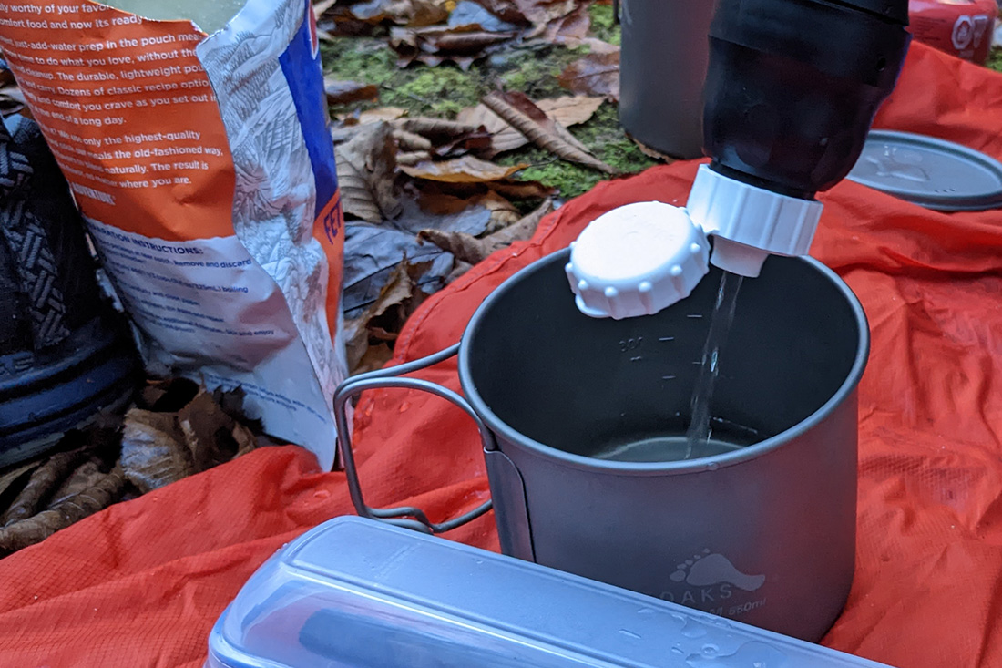
We awoke fairly early as we had a big day ahead of us. After the crucial first steps of any morning while backpacking (coffee and oatmeal), we broke down our camp and prepared for a big day of hiking. Again I tried to send a text. Chris was able to but I still couldn't find a signal. "Wait, there's one in this random patch of forest... wait! No... nope. Still nothing." At least his wife knew that one half of us was alive.
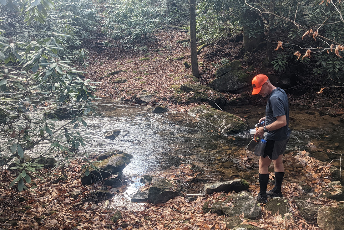
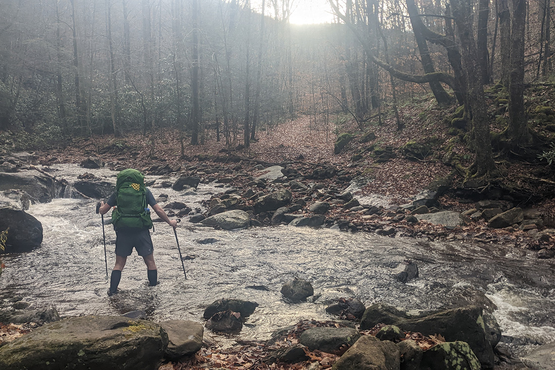
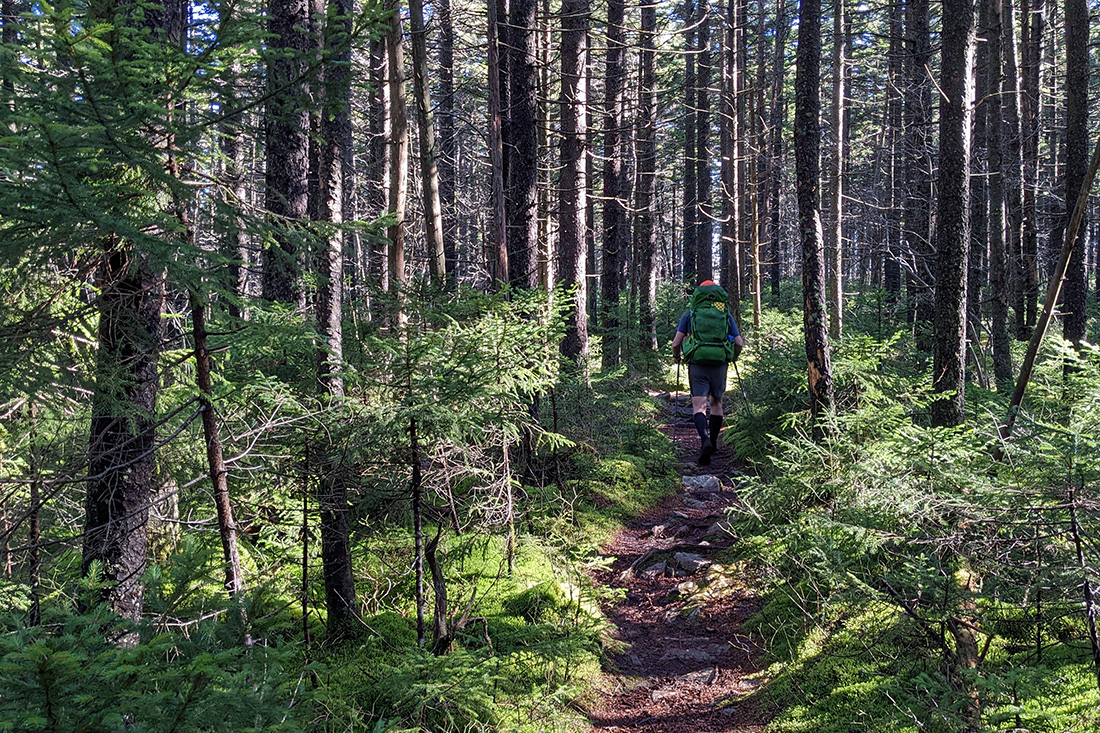
As we embarked down Little Fork, the trail was less maintained and worn than North South. There were a few sections where we lost the trail and one section where we actually took an old logging road instead of the actual trail then had to bushwhack downhill to intersect with Little Fork. At the first major creek crossing we stopped for water and a quick snack.
We got back to moving and the trail just gently made its way down the contours. I was expecting this trail to be very rocky and strenuous based in descriptions I had read but it wasn't terrible for us at all. The upper section was definitely more rocky and required constant attention to the map but as it decreases in elevation, it became more of a logging road than a trail.
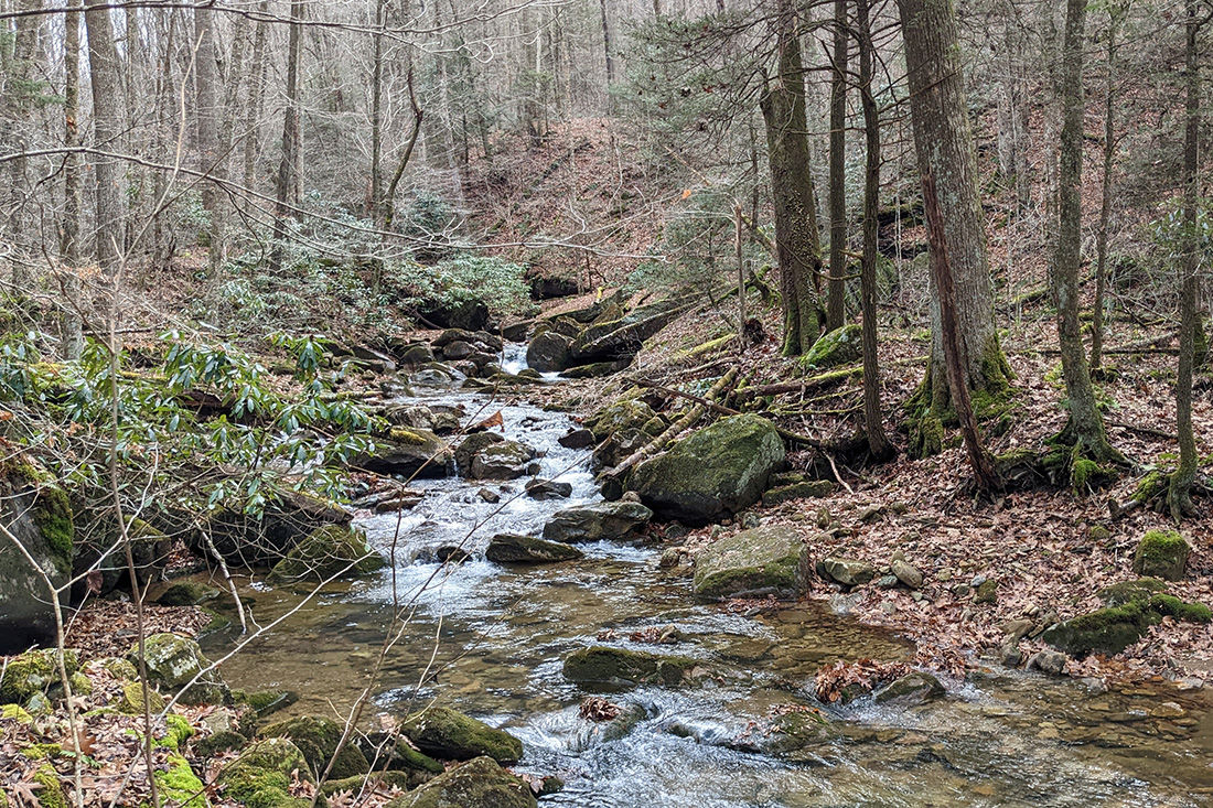
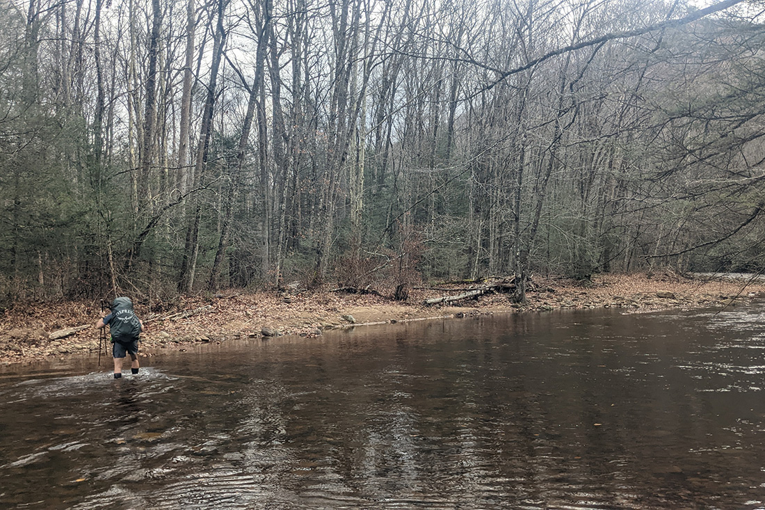
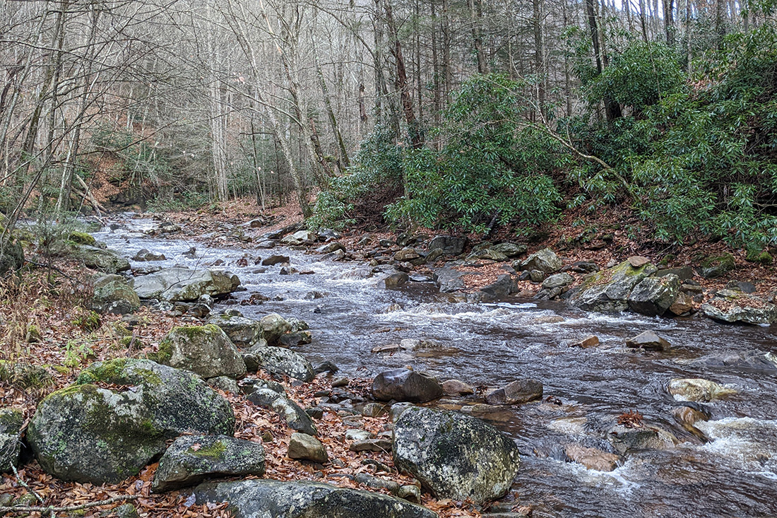
At the bottom of the mountain just before the Middle Fork intersection the route requires crossing Middle Fork River. The big discussion point about our route up until that point had been the concern about the large amount of rain affecting the water level of the river. Luckily when we arrived, the river was totally passable and we easily forded it with no problems. We were again thankful for the milder temperatures.
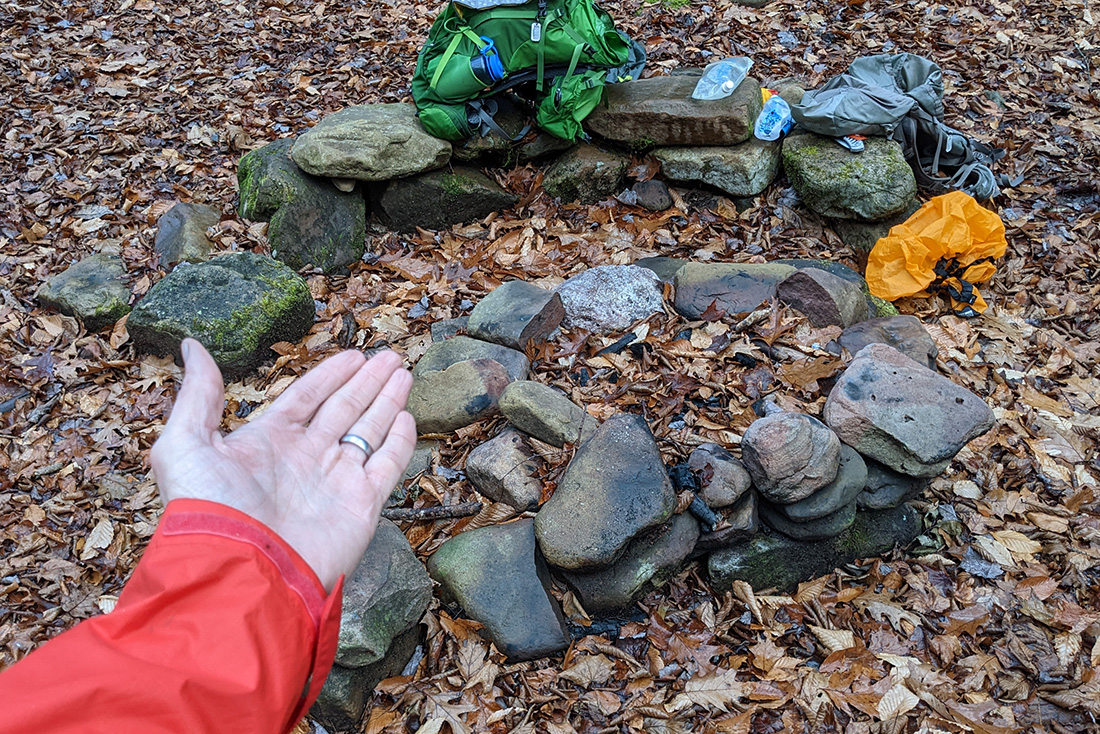
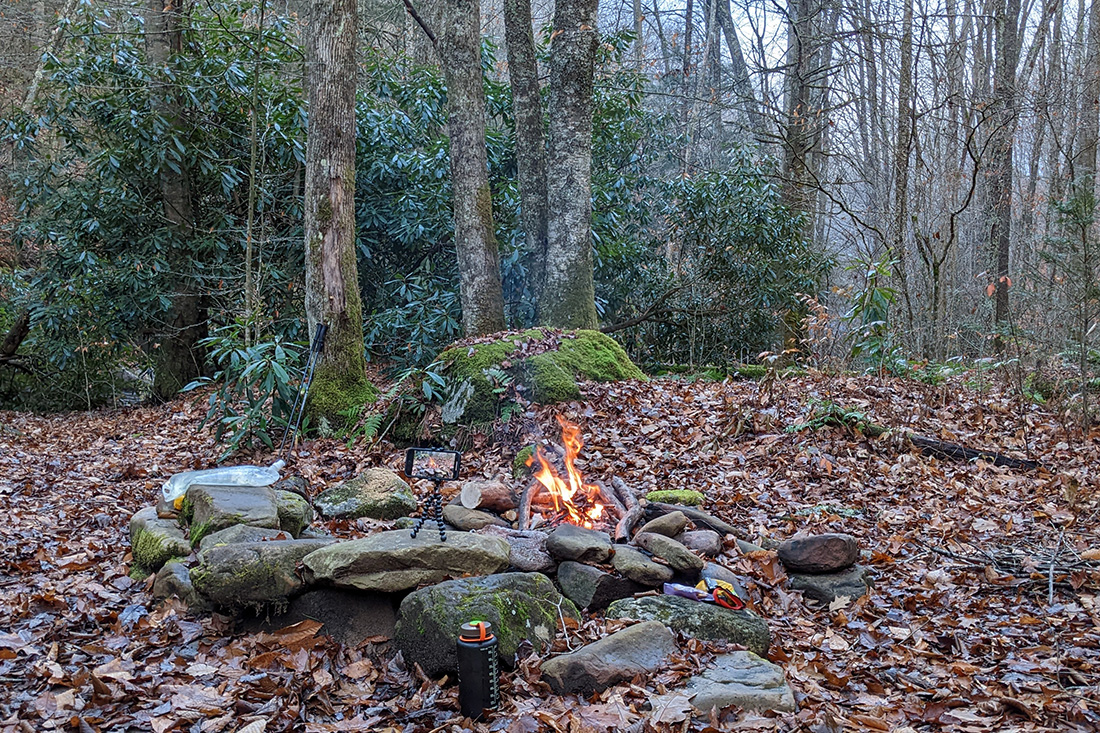
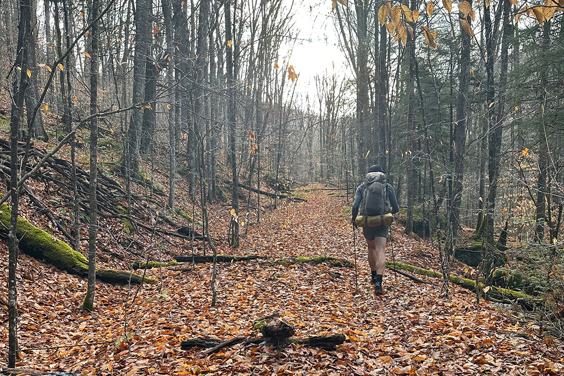
After crossing the river, dropping off trash at the dispersed camping area (with fire rings!), contemplating going #2 at the pit toilets, not going #2 at the pit toilets, we began the hike up Middle Fork trail which was essentially an old railroad bed probably leftover from the mining or logging days.
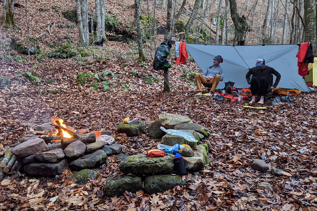
We passed Laurely Branch trail and eventually found our planned campsite. We looked around on the ground and things looked good but then looked up at the trees and there were quite a few overhead hazards in the form of tree branches that would fall with the slightest breeze. We elected to keep going up the trail and after about .75M, we found another campsite that was perfecto.
Literally the moment we arrived, the sky opened up (after a day of glorious sunshine and amazing temperatures). Thankfully it was only a brief shower and we were able to set up camp shortly after.
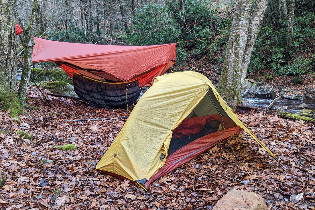
Time to change socks and let the feet dry out after being wet all day long. I don't think my feet have ever been so scary looking. Fortunately we brought the Paria tarp and we deployed it yet again to create a good spot to huddle under (and to dry our feet out) if it rained again.
Day 3
6.53 M | +1,411 ft. gain | -20 ft. loss
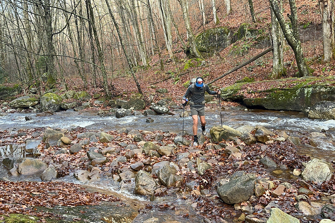
Day 3 began again with the essentials and then we broke down camp. We got on the trail around 8 and continued the long slog (at a brisk pace... a brisk slog, even) up Middle Fork Trail. As we progressed, the forest became more and more boreal and we started to see the transition from Appalachian hardwoods to red spruce trees. As the forest changed, so did the river's size. It was getting smaller and smaller and eventually, the trail used the river/creek as it's main thoroughfare and we got our feet wet again as we gave up trying to stay dry by constantly jumping rocks.
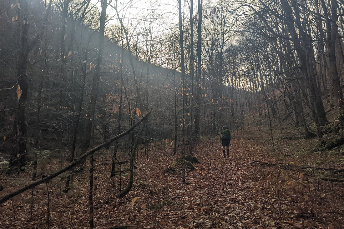
The trail eventually turned away from the creek and shortly after hooked up with North South Trail. From the intersection with NS, it was an easy hike to the car. We took a few final photos of the beautiful moss covered forest floor and emerged from Cranberry refreshed and recharged (and tired and soggy at the same time!).
Trip complete!
Final Thoughts
Cranberry Wilderness is an amazing place. It's one of the more wild wildernesses that we've been to in the southeast and it left us with a sense of awe that will be marinating in our brains for a long time to come. There were several times when I just had to stop and admire the awesomeness and say, "This place is so cool," out loud. What's lacking in views for Instagram fodder is made up for in quiet solitude that only a wilderness area in the highlands of West Virginia can provide. This is a place that provides a true wilderness experience; a rare gem along the mid-Atlantic states. One day I hope to bring my 2 boys here so that they can enjoy this place too.
For more about our trip, check out Chris's trip report. When backpacking (especially in places like this), it's always important to follow Leave No Trace principles. And here is a bit of info from the U.S. Forest Service about hiking in all conditions.