Fastpacking Spy Rock & Three Ridges
The Plan
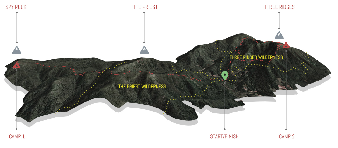
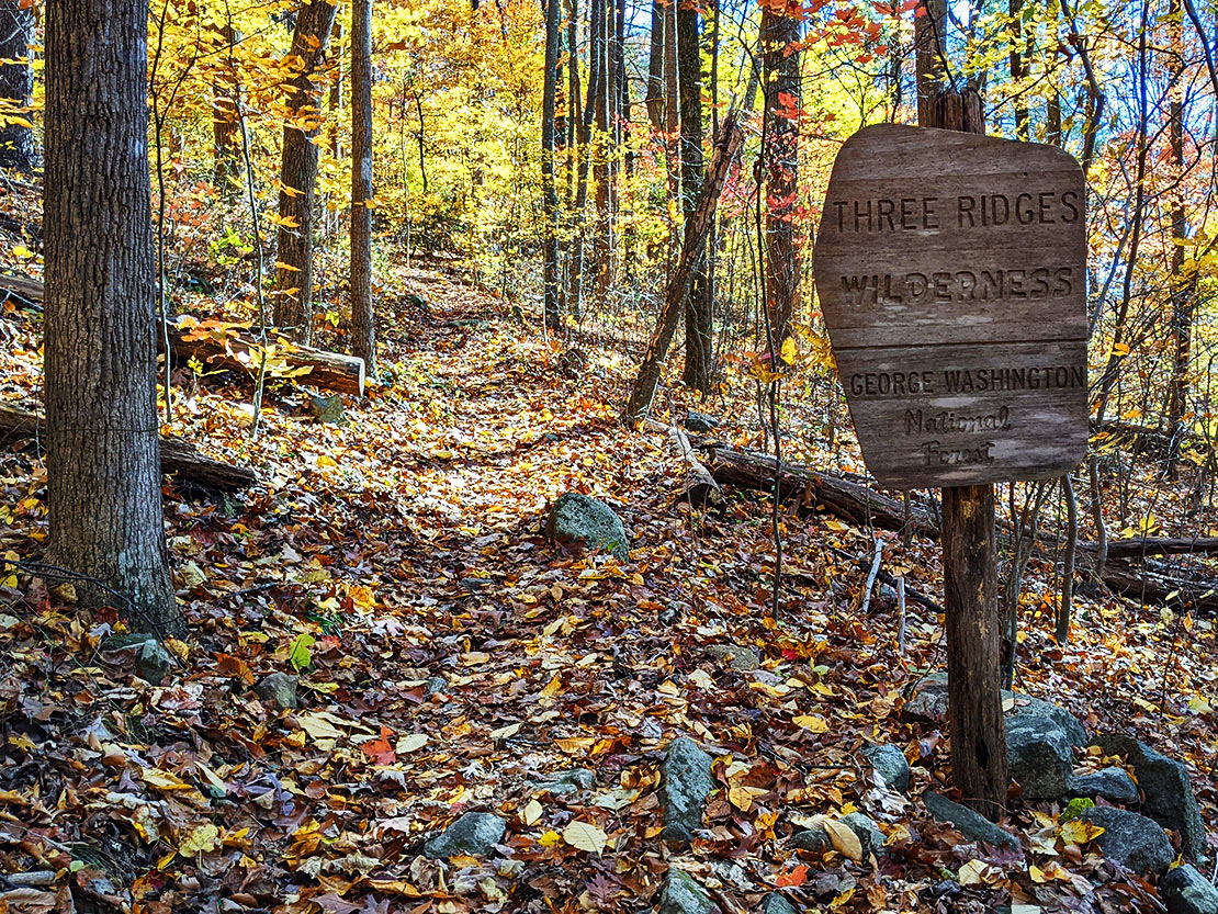
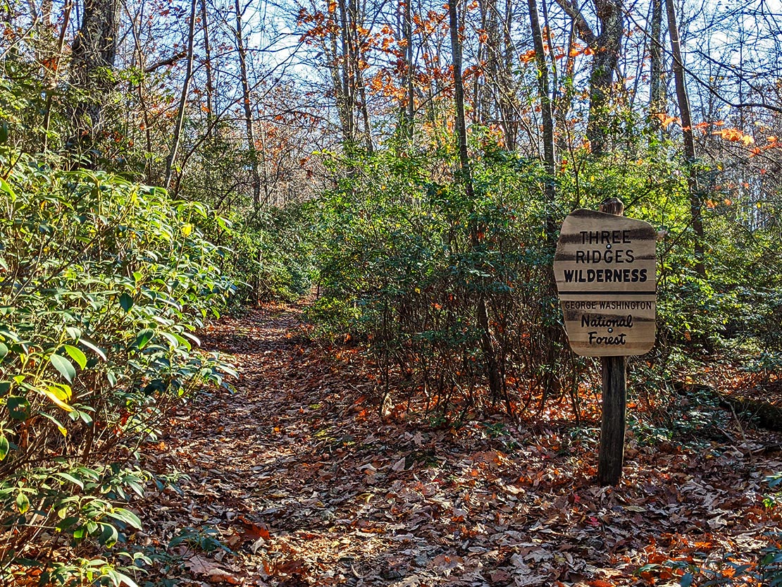
The plan for this trip was basically derived from combining 2 routes that I had done previously with my friend Chris. Read about the specifics of these routes in more detail in my Spy Rock and Mau Har(d) trip reports (and in Chris's trip reports: Spy Rock and Mau Har). In a nutshell, the plan was to park at the Appalachian Trail (AT) trailhead where it crosses VA SR 56 then hike out to Spy Rock and camp for night 1. Then hike all the way back to the car, resupply, then hike the AT/Mau Har/AT lollipop route, camp at the top of Three Ridges for night 2. Then head back down the mountain to the car on day 3. All of this would be done in fastpacking style with minimal gear moving as fast as possible.
Below is an itinerary of this trip using a 1.5 mph pace which was intended to be conservative since I'd be fastpacking (jog hiking... jiking? Hogging?). Hoggin' some summits!
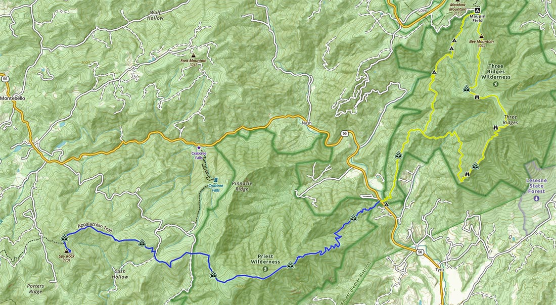
Below is the map for this trip. The blue/yellow color coding of the sections isn't really helpful aside from marking my intended track because Day 2 consists of hiking all the way from Spy Rock to the summit of Three Ridges. As it relates to Day 2, the demarkation doesn't mean anything aside from indicating where I'd be walking. Because I combined routes from 2 previous trips, it was easier to load in the GPX data this way rather than making 1 big master GPX file. A side benefit of this helped me break up the trip into 2 sections mentally since I'd be covering a lot of miles. Doing the resupply would also provide a nice bail out option should things not go according to plan on Day 1.
A breakdown of estimated mileage and maps of days 1, 2, and 3 respectively pictured below:
| Segment | Distance | Elevation +/- | Duration |
|---|---|---|---|
| Day 1: Spy Rock | 8.3M | +4,707 ft./-1,798 ft. | 5:32:00 |
| Day 2: Three Ridges | 16.25M | +6,220 ft./-6,085 ft. | 11:00:00 |
| Day 3: Descent to TH | 5.49M | +730 ft./-3,746 ft. | 4:00:00 |
Gear & Food
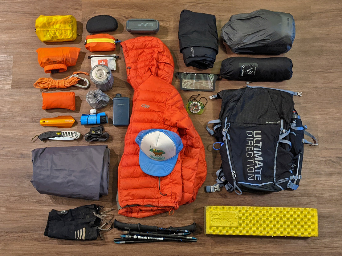
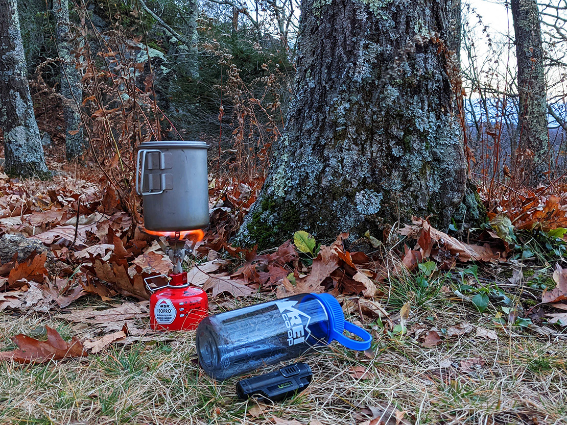
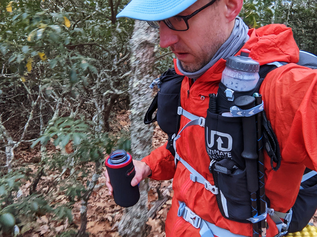
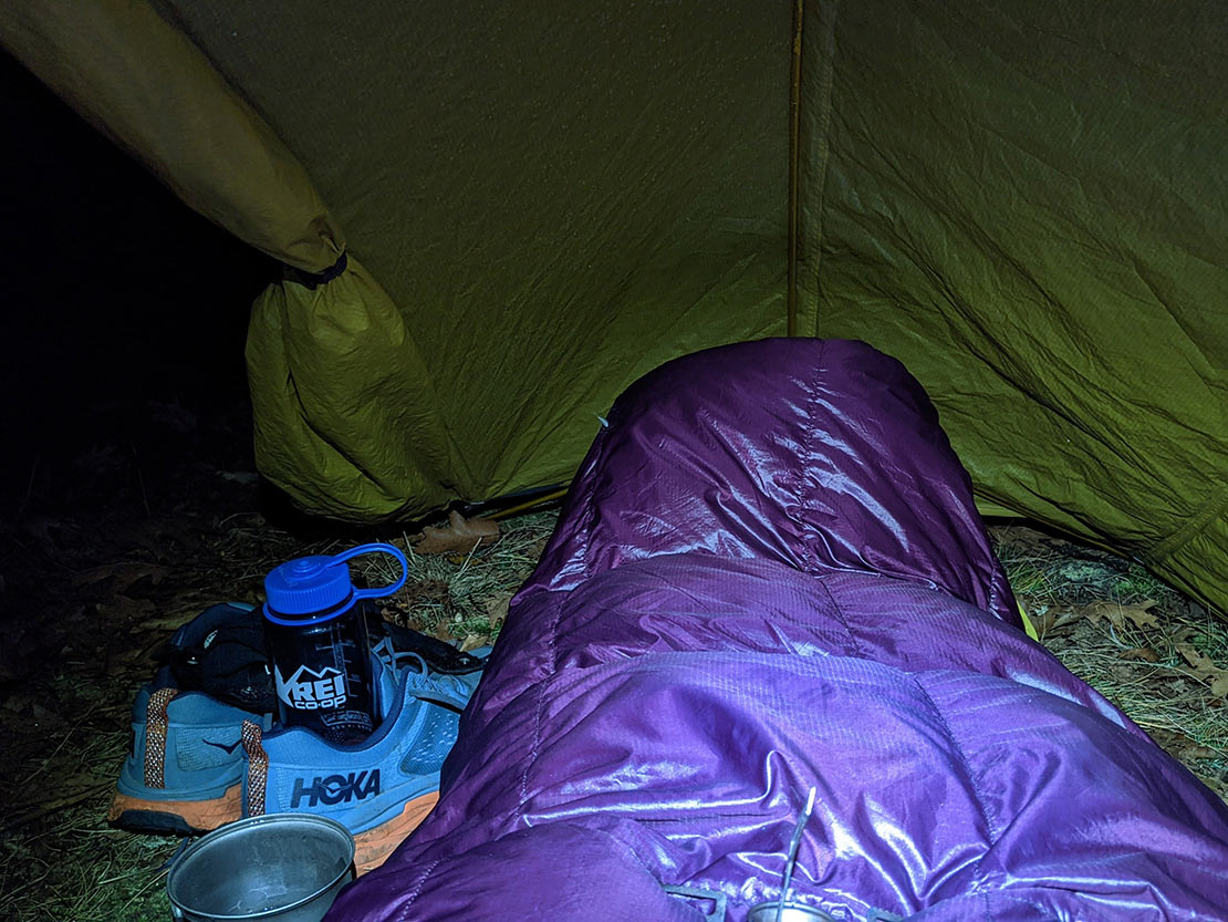
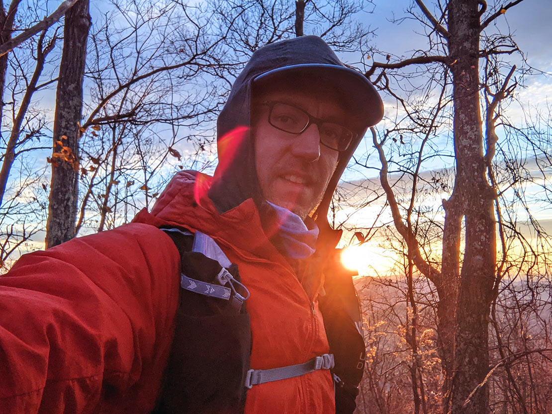
This would be my first trip using my new Ultimate Direction Fastpack 20 and I was pretty excited about trying it out for the first time. In theory, all of my stuff would fit. In practice? Well, we would soon find out. 2 weeks out the forecast called for temps in the 30's at night. 2 days out the forecasted lows at night changed to be in the upper 20's. I had to pack accordingly and the smaller 20 liter pack size was starting to become a game of Tetris. A slight problem that the lower forecasted temps presented was that my superlight and compressible sleeping bag is rated for 30°F. The lower temps at night would mean that I would be the antonym of comfortable. I packed an extra puffy jacket (in addition to the orange jacket pictured), a thermal blanket to use as my ground sheet (in addition to my NeoAir and Zlite), and extra wool baselayers. I wouldn't recommend packing a sleeping bag that doesn't match the forecasted low temps but I don't have $500 lying around to get a 0°F down bag that packs down to the size of a grapefruit. Hopefully the extra layers would make up for the lack of down in my bag.
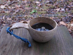
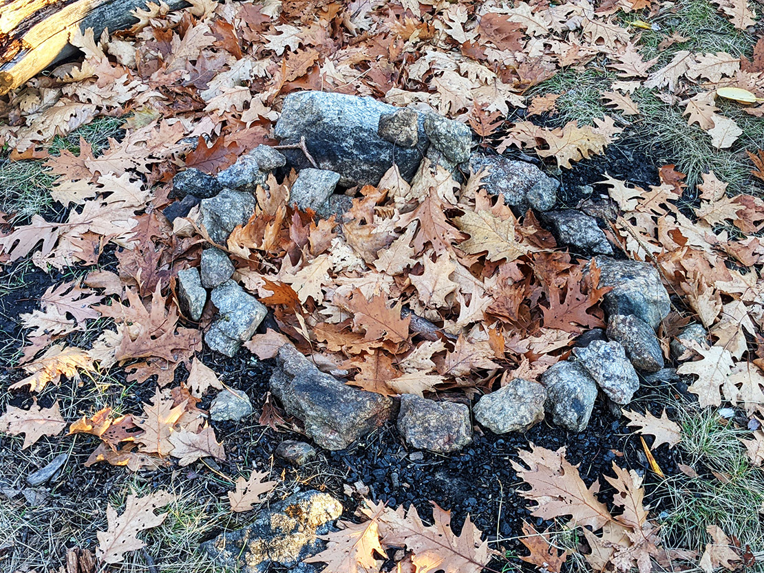
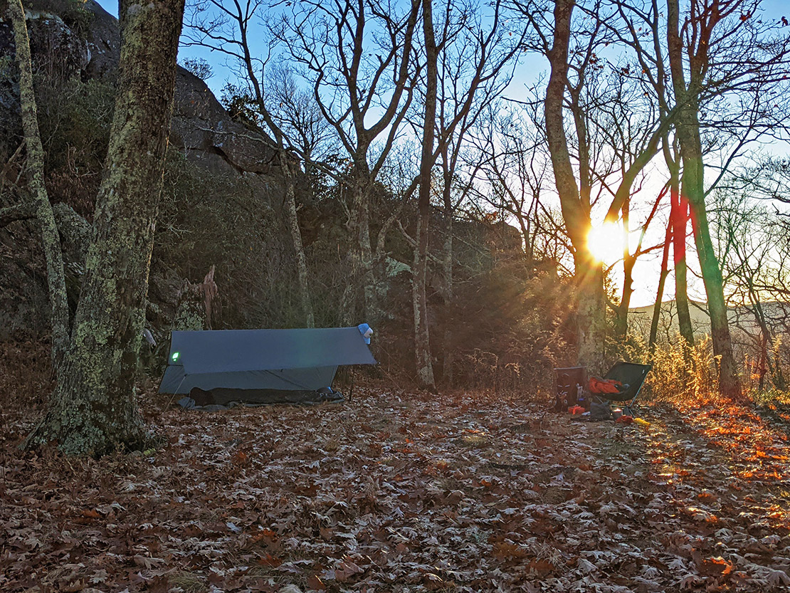
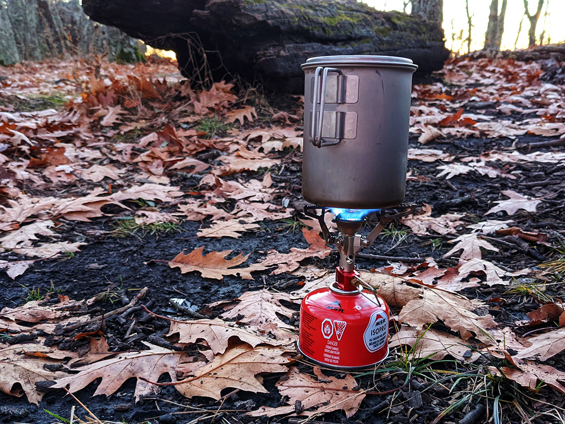
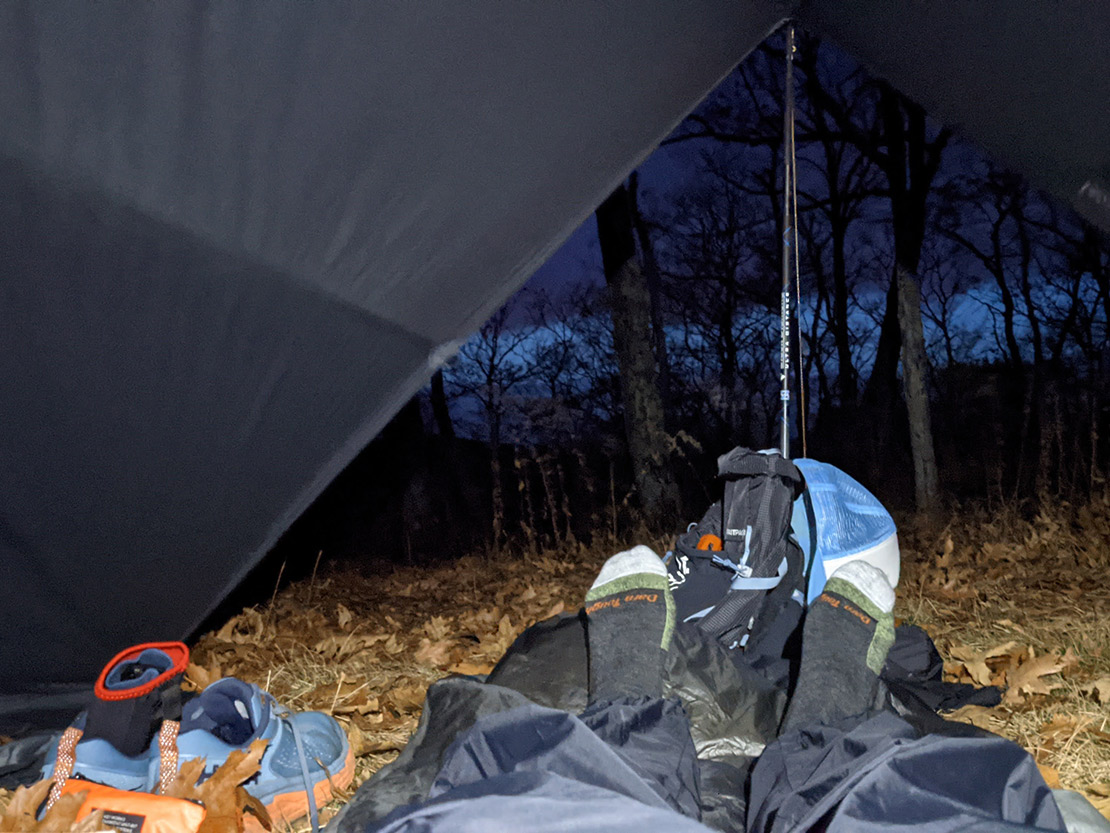
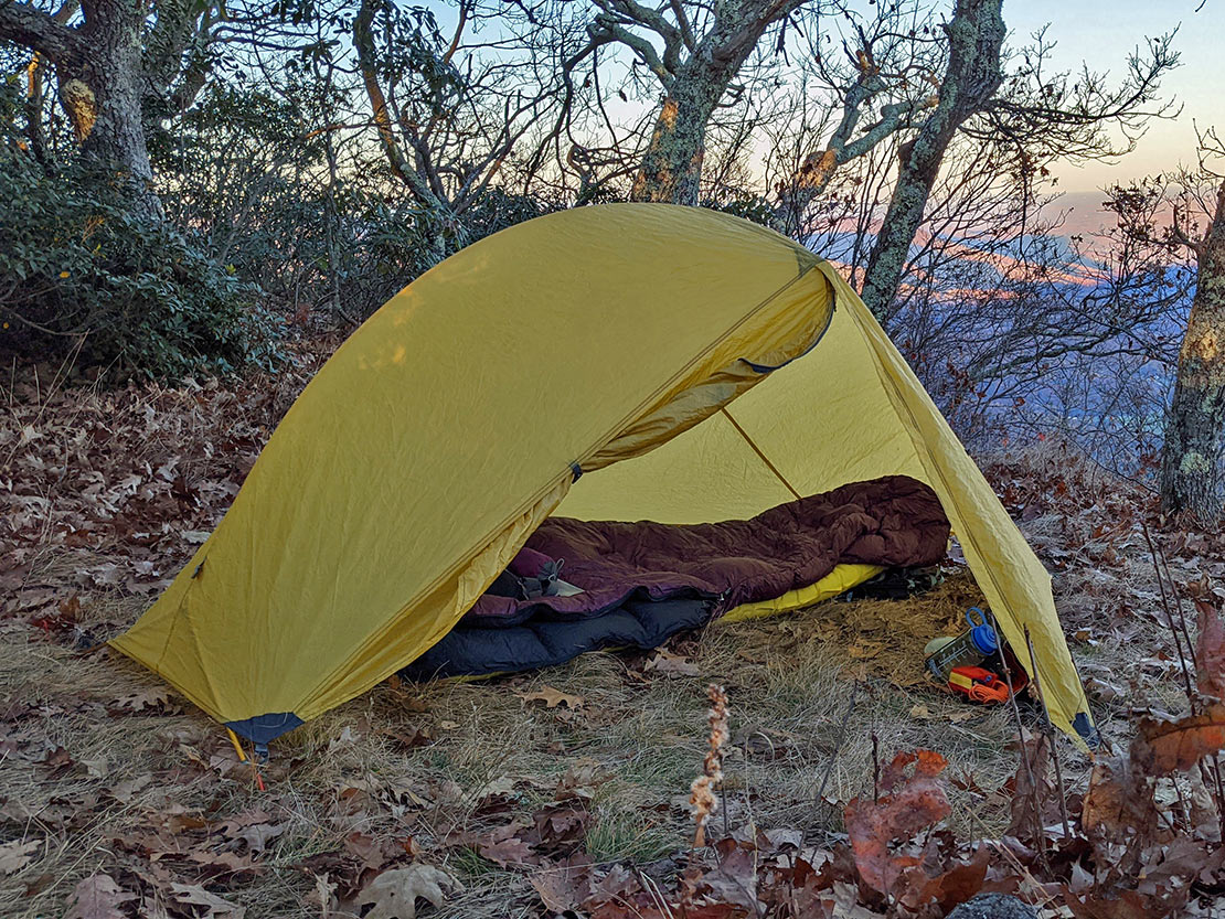
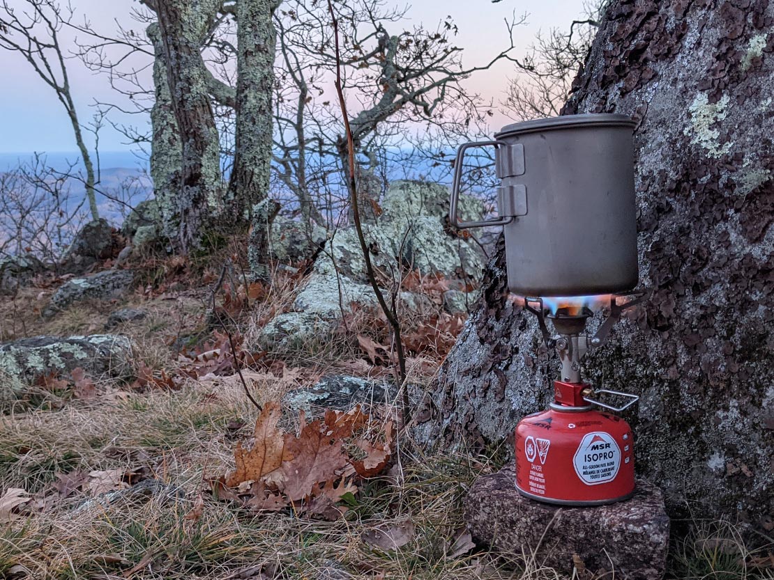
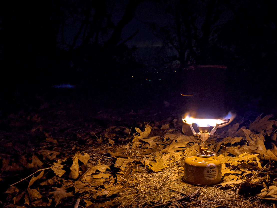
The pic below is pretty close to the final result. I didn't bring the saw because I decided I wouldn't be building campfires since I'd be camping on summits with no means of dousing the coals when I left the campsites (i.e. no agua). Because only YOU (or me) can prevent forest fires (by not even having a fire). See? I'm smart! Internal monolog: "But you just spent a whole paragraph talking about the cold and how cold you'd be." Voice of reason: "I'd rather be cold than start a forest fire." Night 1, I used a tarp (pictured) but on night 2, I used my MSR Hubba (not pictured) in fly-only-pitch-mode. I was able to swap it out when I resupplied at the car on the return trip from Spy Rock.
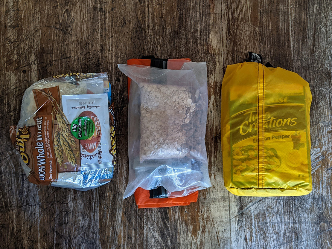
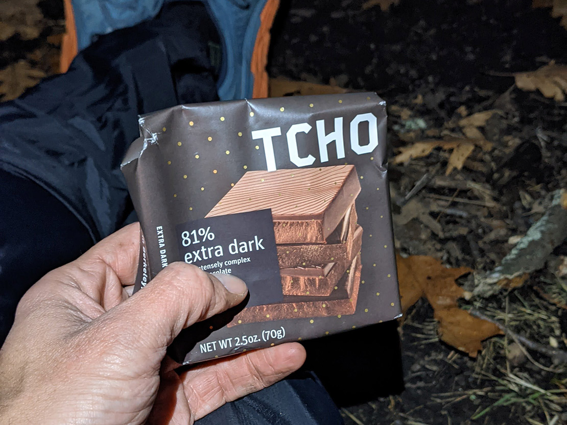
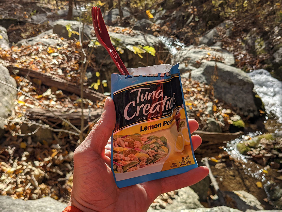
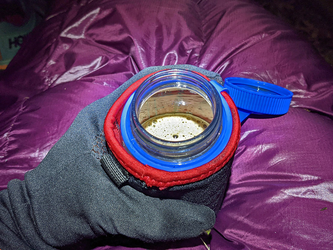
Food consisted of the usual odds and ends. Soba noodles + chicken + sriracha & soy sauce for dinners. Pro Bars + instant coffee + oatmeal for breakfasts. Gu Chomps + Clif Bars + trail mix + tuna + other random things for snacks. Tailwind for hydration. A chocolate bar buried in there somewhere.
Day 1
9 MI | +4,239' GAIN | -1,394' LOSS
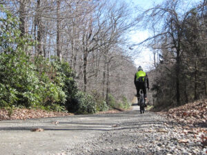
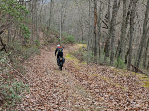
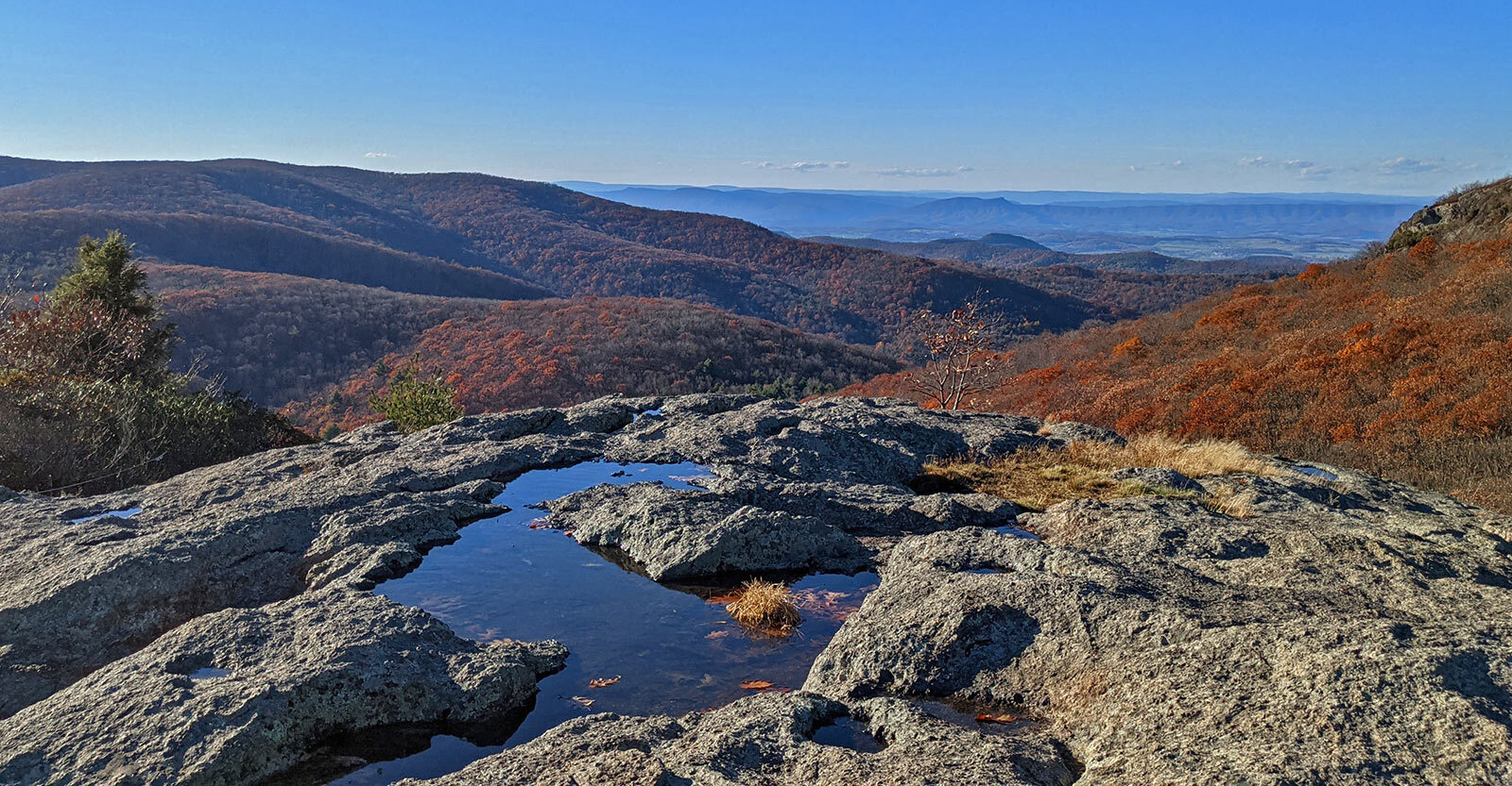
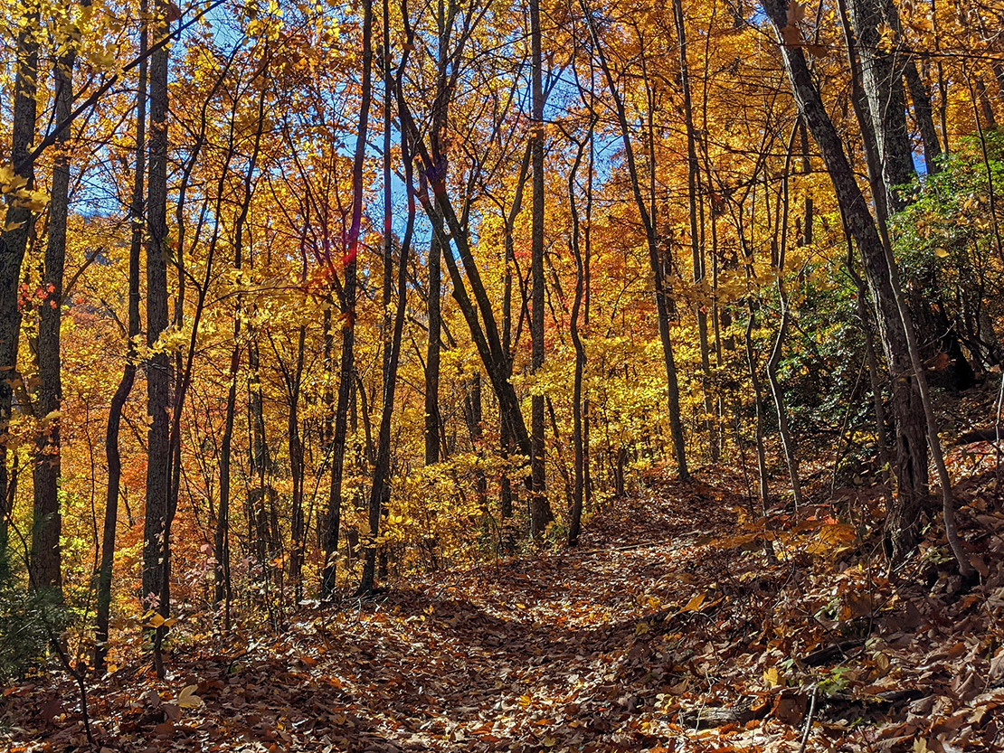
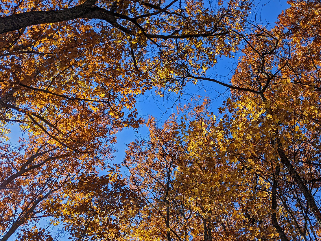
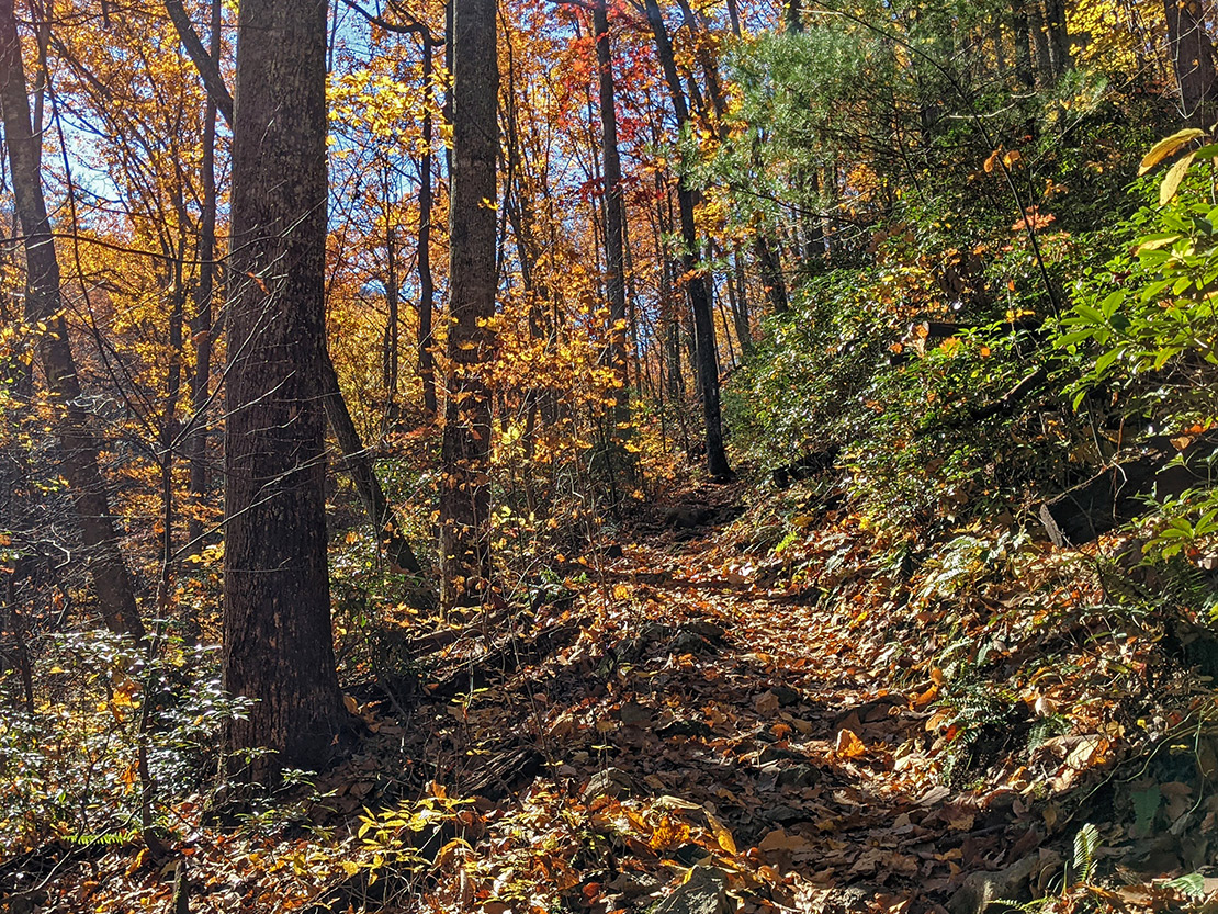
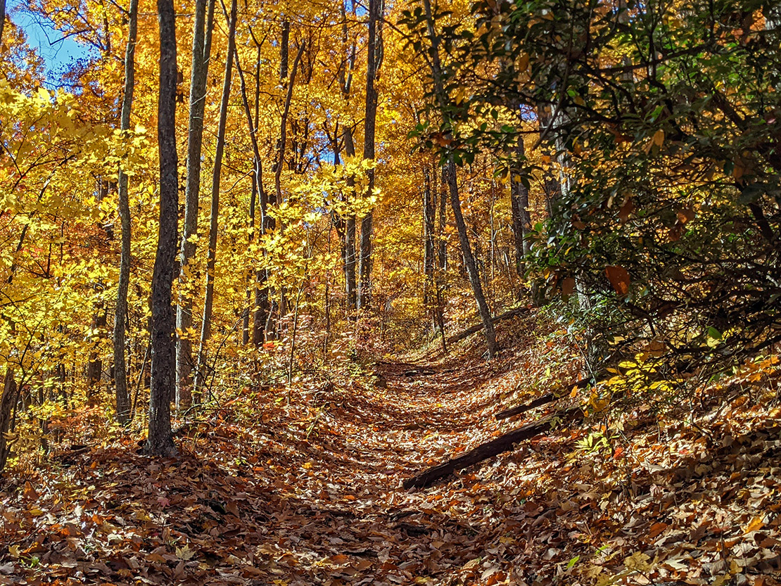
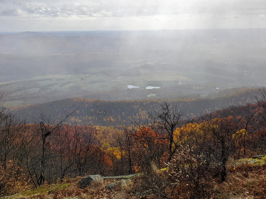
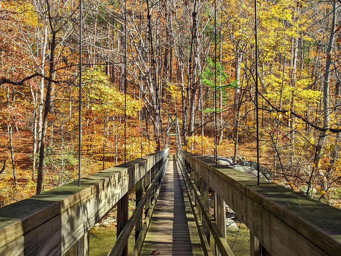
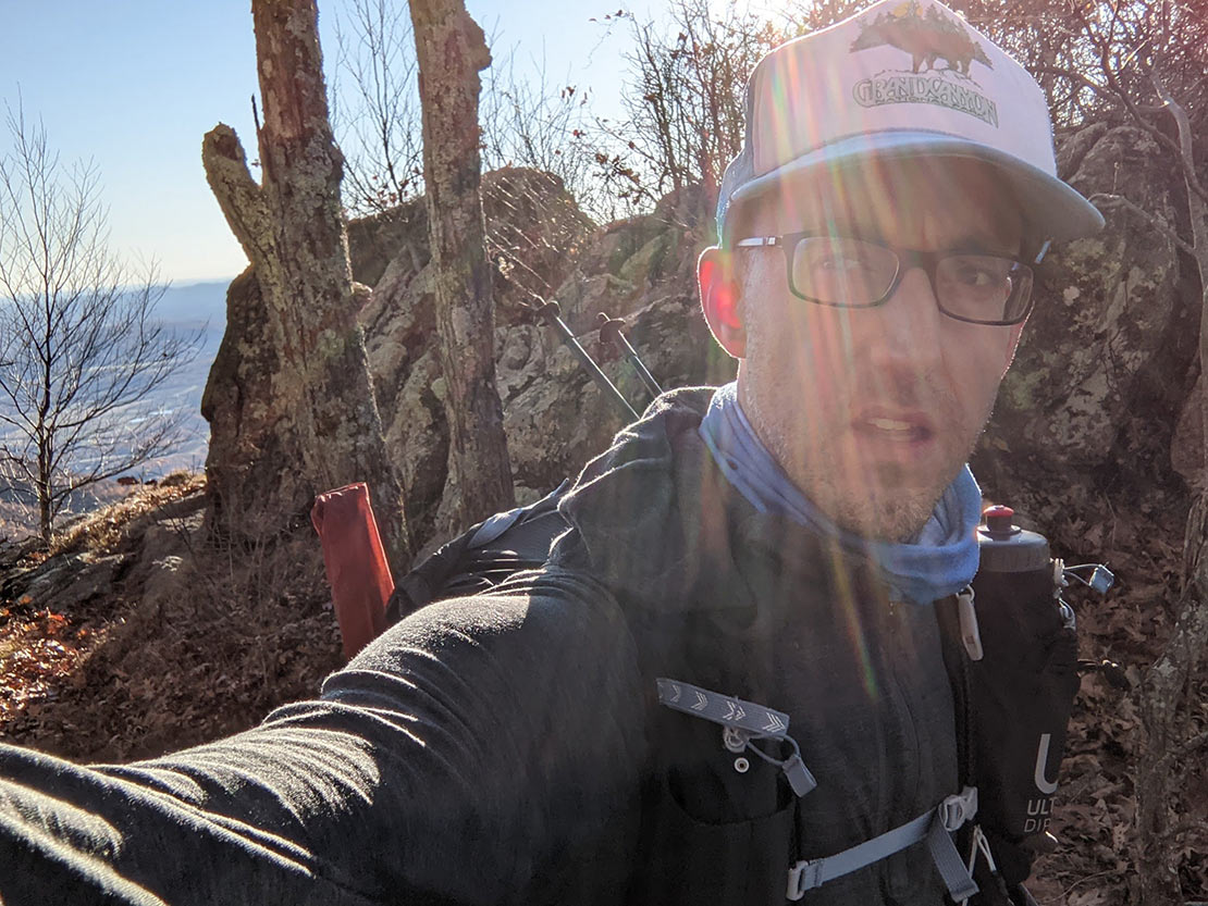
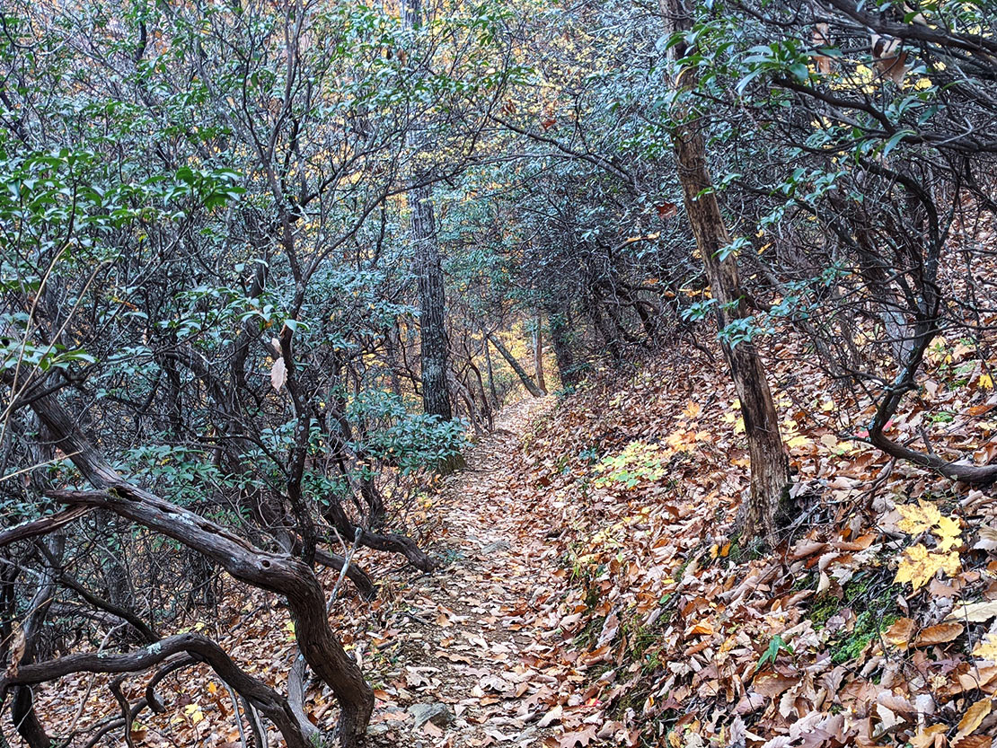
Got to the trailhead around 11 on Friday; got on the actual trail (AT) shortly thereafter. The mission was to get all the way out to Spy Rock for night 1. Along the way I'd ascend The Priest. The leaves were at peak in this area which was pretty amazing. Staring up at the leaves and taking photos along the way helped break up the challenge of climbing the massive Priest during the first part of the day's route. After Priest came a nice cruise along the ridge out to Spy Rock.
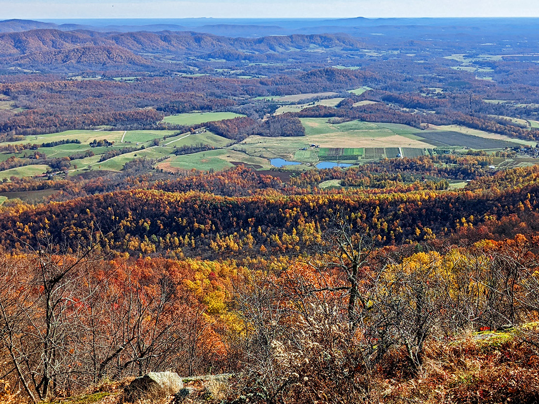
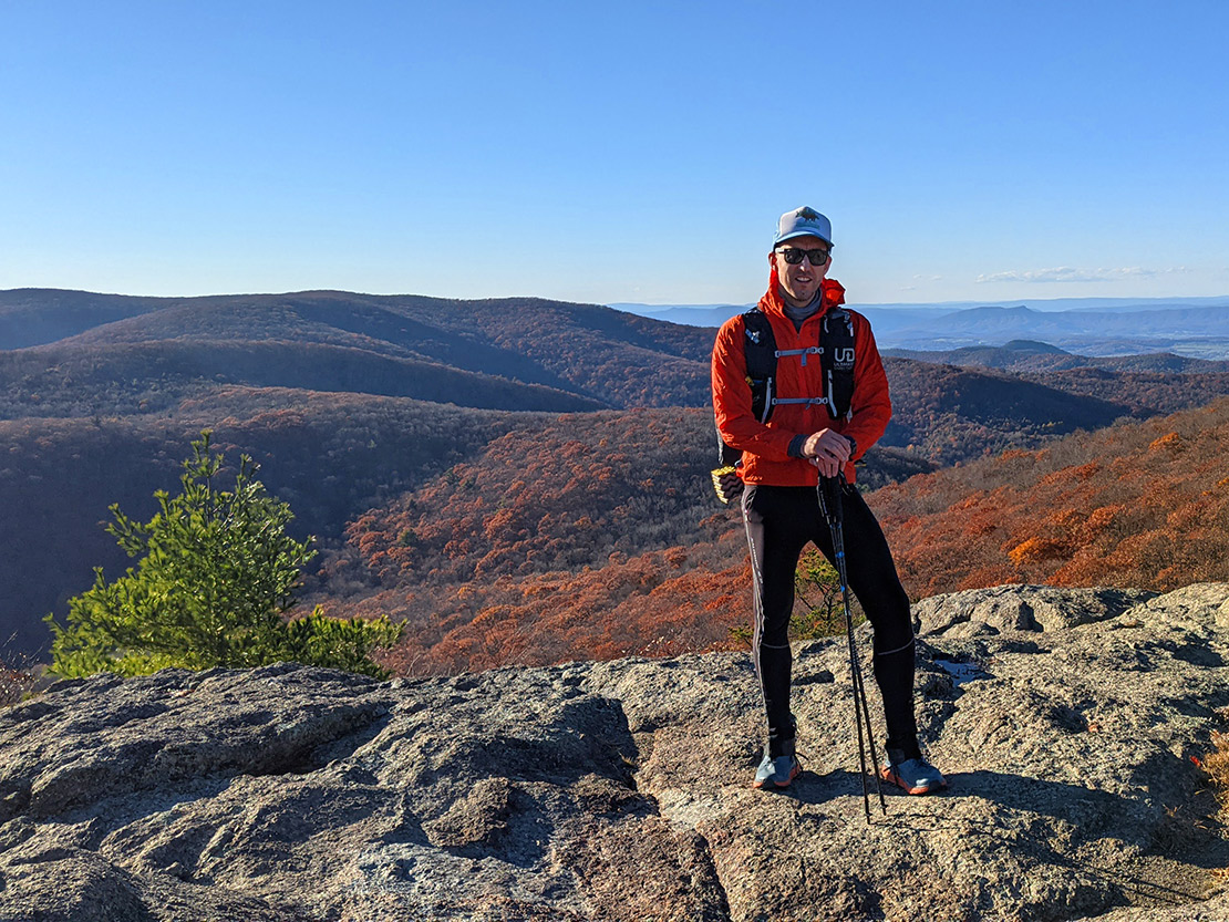
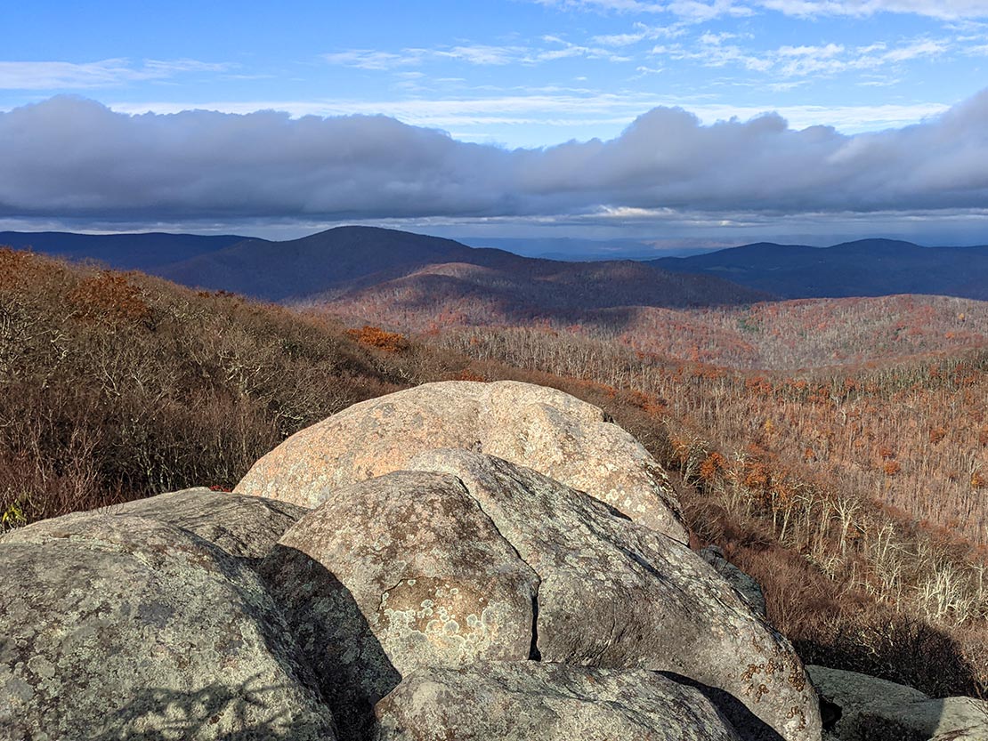
I went up to Spy Rock and a nice couple from Columbus, OH offered to take my photo. Then went down to find a campsite and get warm because the temps were dropping. I stopped my watch right at 9 miles.
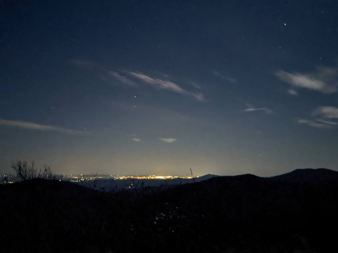
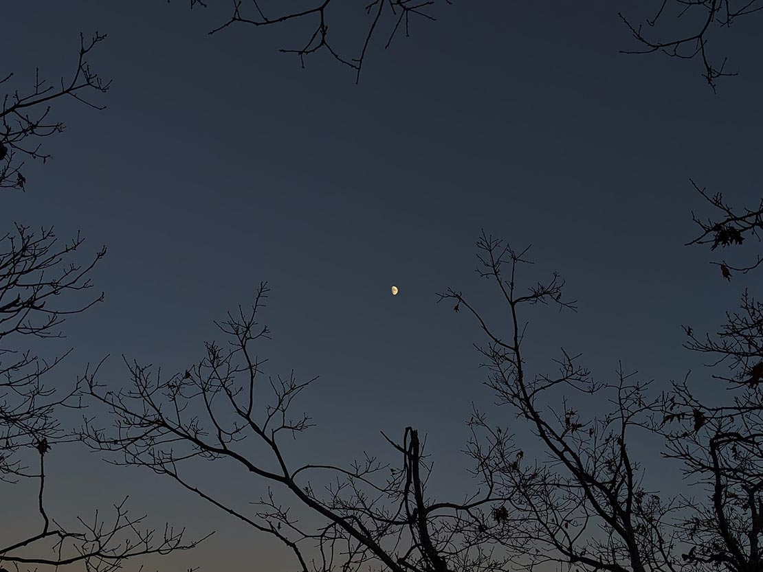
Even with the temps going down, I wouldn't make a fire because there was no water source (I like to douse my fires when I leave a campsite). Because, remember, only you... or me... or was it you? Can prevent forest fires. After sunset, I went back up to Spy Rock to stargaze and saw a shooting star. Pretty epic day.
Day 2
16.95 MI | +5,417' GAIN | -5,285' LOSS
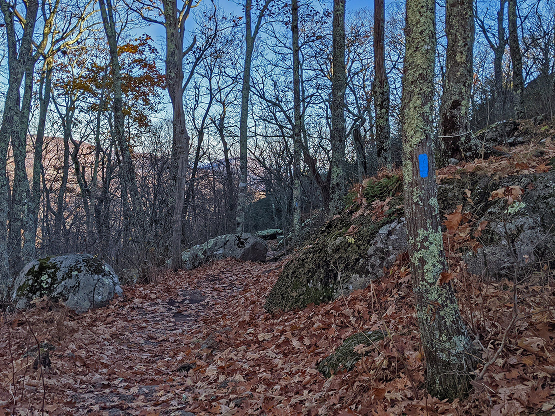
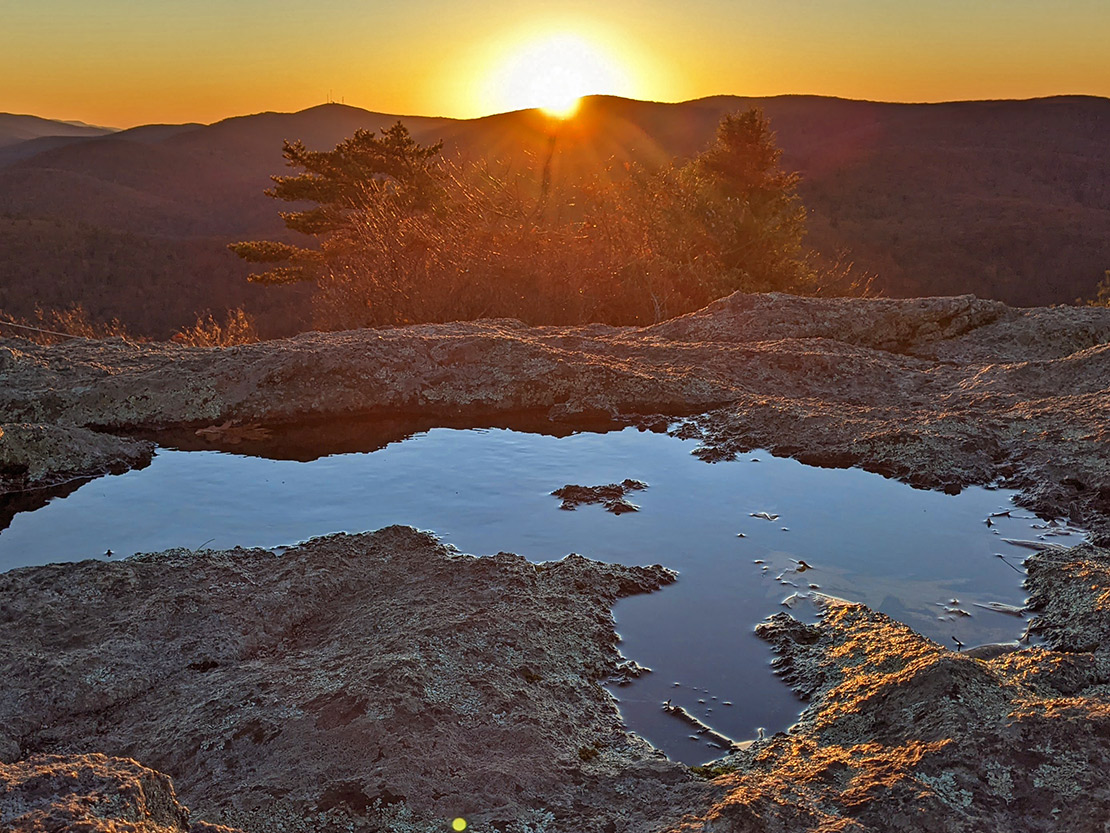
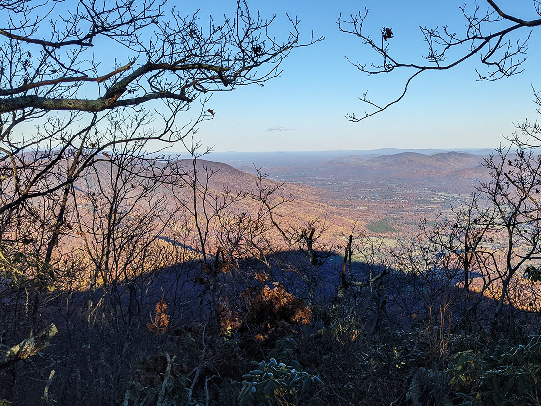
Woke up around 6, began breaking down camp then scrambled up to the Spy Rock summit area to catch the sunrise. Came back down after a few minutes to make coffee and finish breaking down. Reviewed the map and trip mileage spreadsheet and got on the trail around 7:30. Today's objective was the summit of Three Ridges and I had about 16.5 miles and close to 5k of elevation to gain to get there.
On the way back along the AT I hit a quick wave of snow/sleet coming down off of Priest. Spy Rock/Priest were an out-and-back so I was able to stop at the car and resupply (new food bag, dropped off trash, and water refill... Also swapped shelters) then continue on the AT to Mau Har trail.
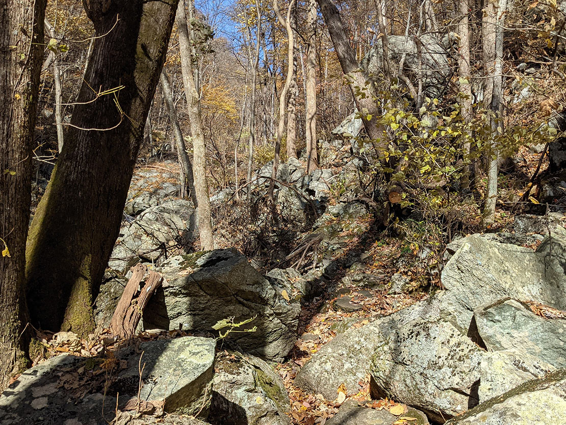
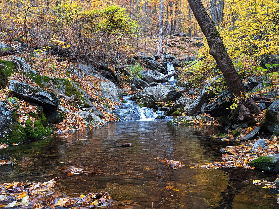
The car stop felt like cheating. Mar Har was Mau Hard... Lots of rock scrambling up the steep slope and careful route finding next to the waterfalls and creek. Finally made it to the top just before sunset. I had planned to be hiking in the dark by this point so it was nice to be ahead of schedule.
Found a nice campsite tucked away from the wind in some thicker brush. Objective achieved. Ramen/instant potatoes for dinner, dark chocolate for dessert. Went to bed around 7. It was a long but rewarding day.
Day 3
5.49 MI | +730' GAIN | -3,746' LOSS
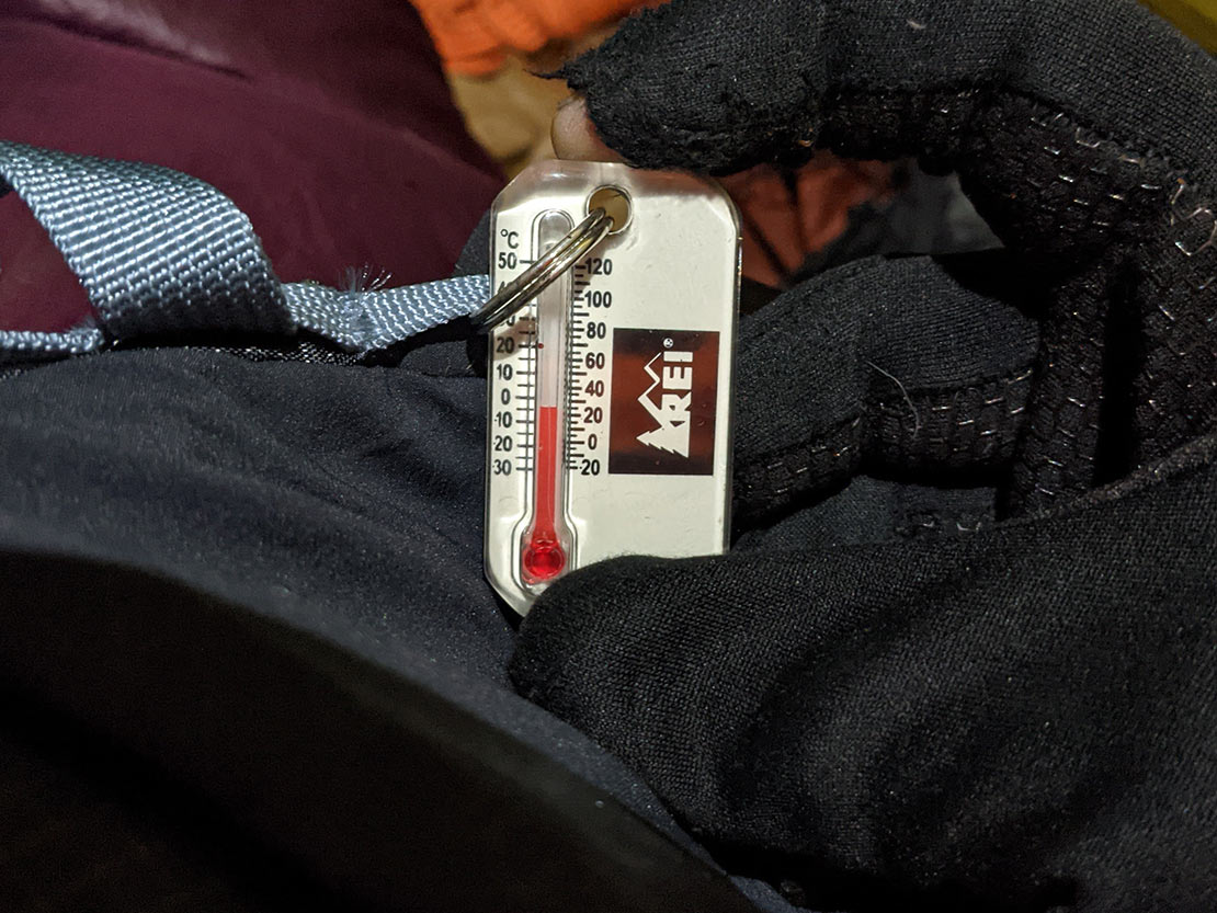
Woke up around 4 because... Why not? Actually it was quite cold and I couldn't sleep very well. The thermometer read ~25 May as well get moving. Had coffee/breakfast in the tent then broke down and got on the trail around 5:40.
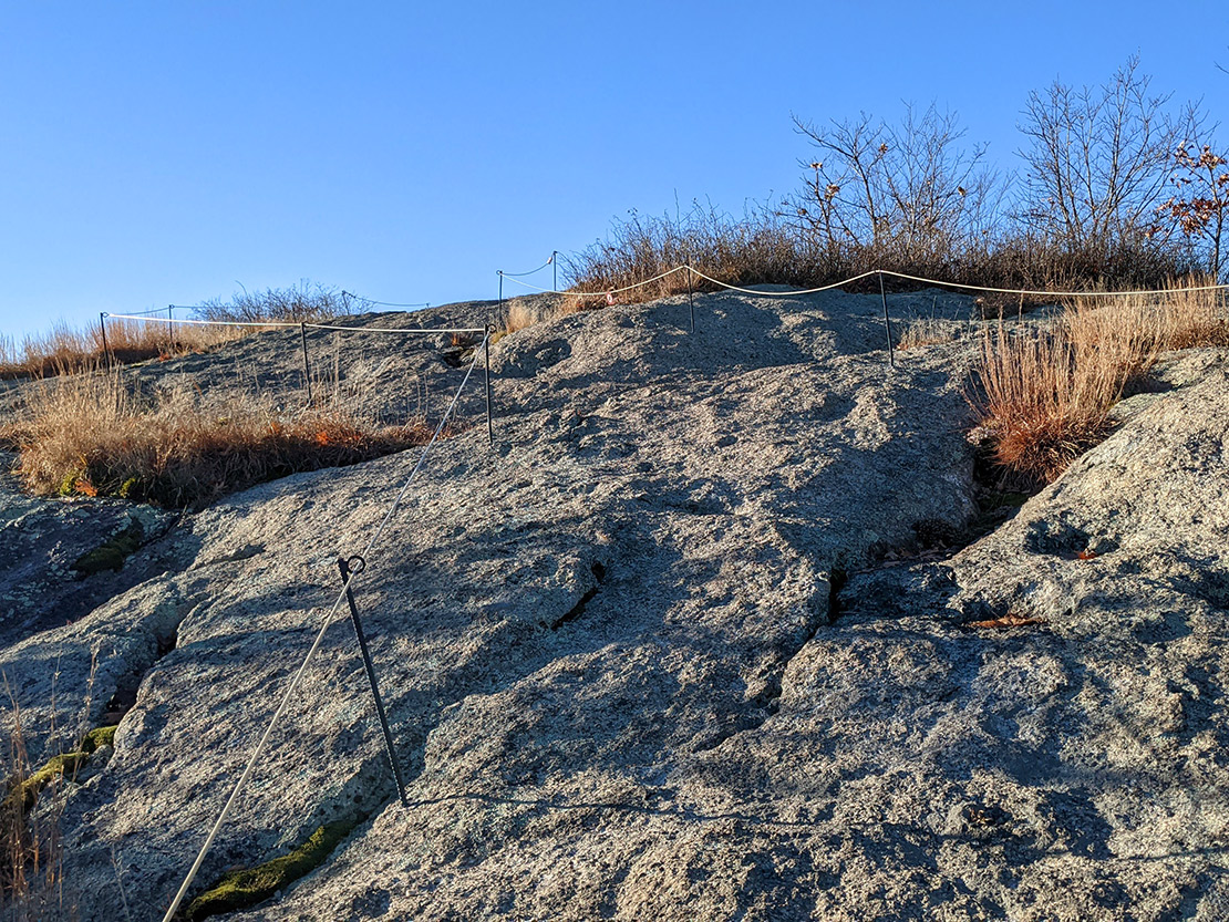
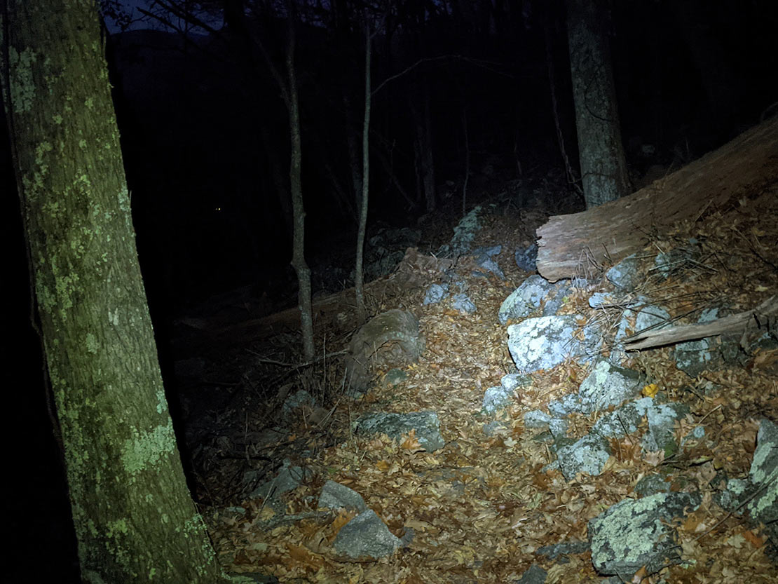
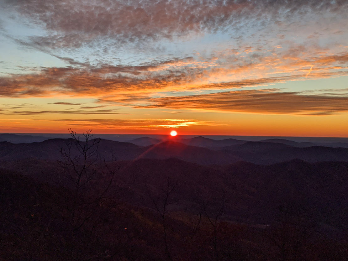
Took out the bear bell because there were definitely some glowing eyes in the woods... Bear? Bigfoot? I'd rather not find out. I klinked my way down from my alpine camp on Three Ridges and made it to Chimney Rock just in time for sunrise. The sun rose beautifully and then my watch battery died. As did my will. OK, not entirely. I was starting to feel pretty drained and dehydrated because I ran out of water so I didn't take many photos... Just put my head down and focused on getting off the mountain safely and quickly.
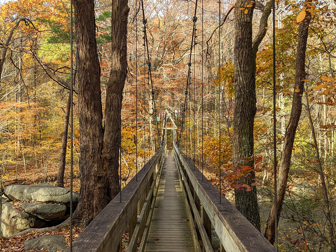
Finally found a small creek just before Harper's Creek shelter and refilled H2O. Then continued onward to the finish line... Still 2 miles away. There was a massive group camping at Harper's, passed them in haste then jogged the remainder of the trail downhill back to the Tye River bridge and subsequently, the car.
Trip complete.
Final Thought
Getting out like this is a gift, not a privilege. Thankful for a supportive family and health/life circumstances to be able to have adventures like this.
When backpacking (or fastpacking, or cycling, or trail running, etc.), it's always important to follow Leave No Trace principles. And here is a bit of info from the U.S. Forest Service about hiking in all conditions.