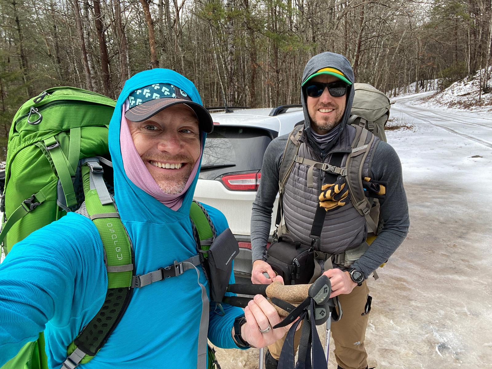
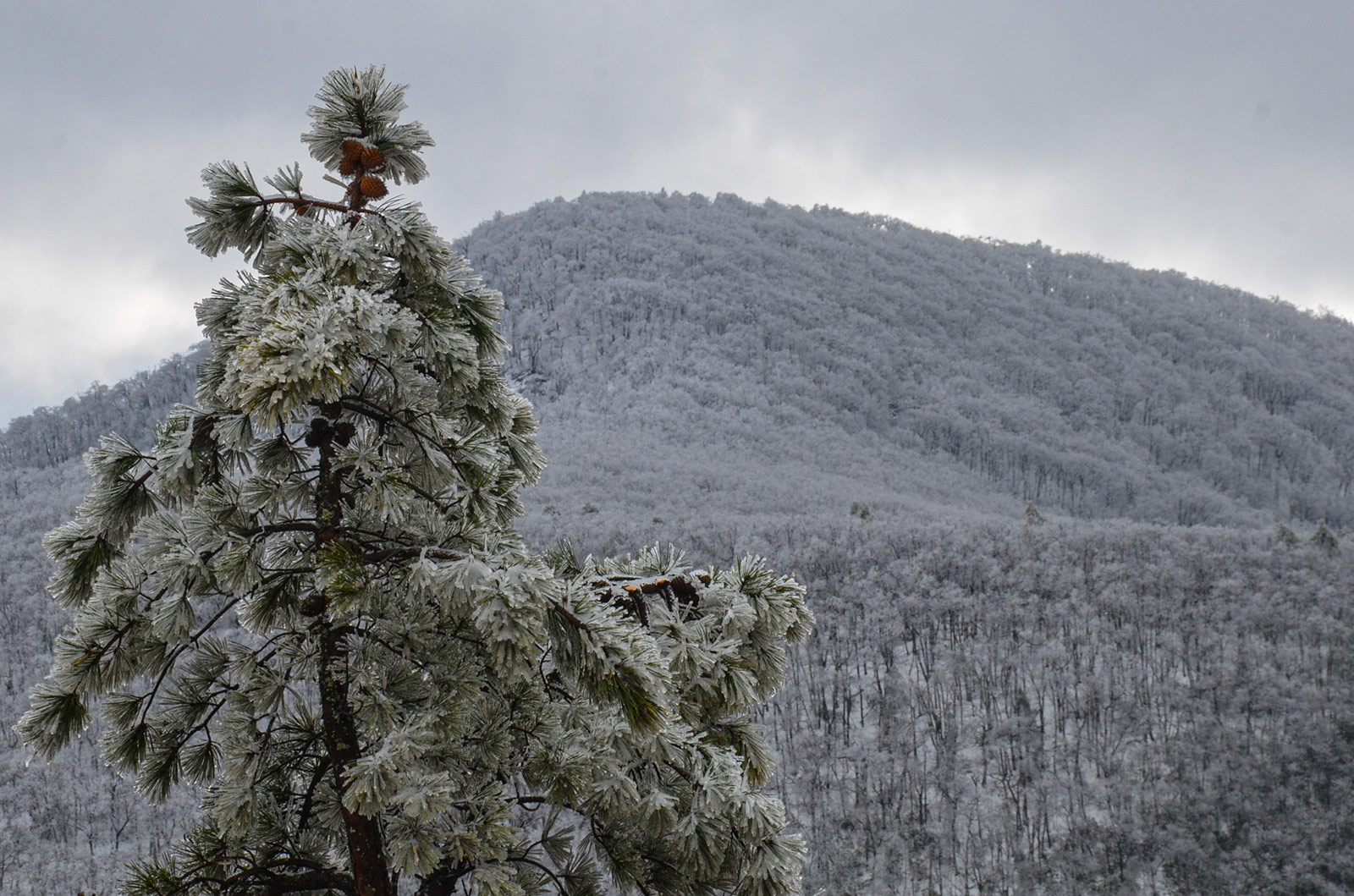
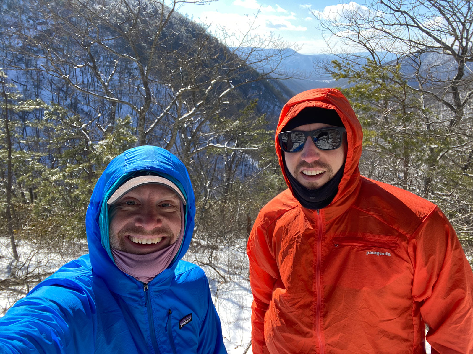
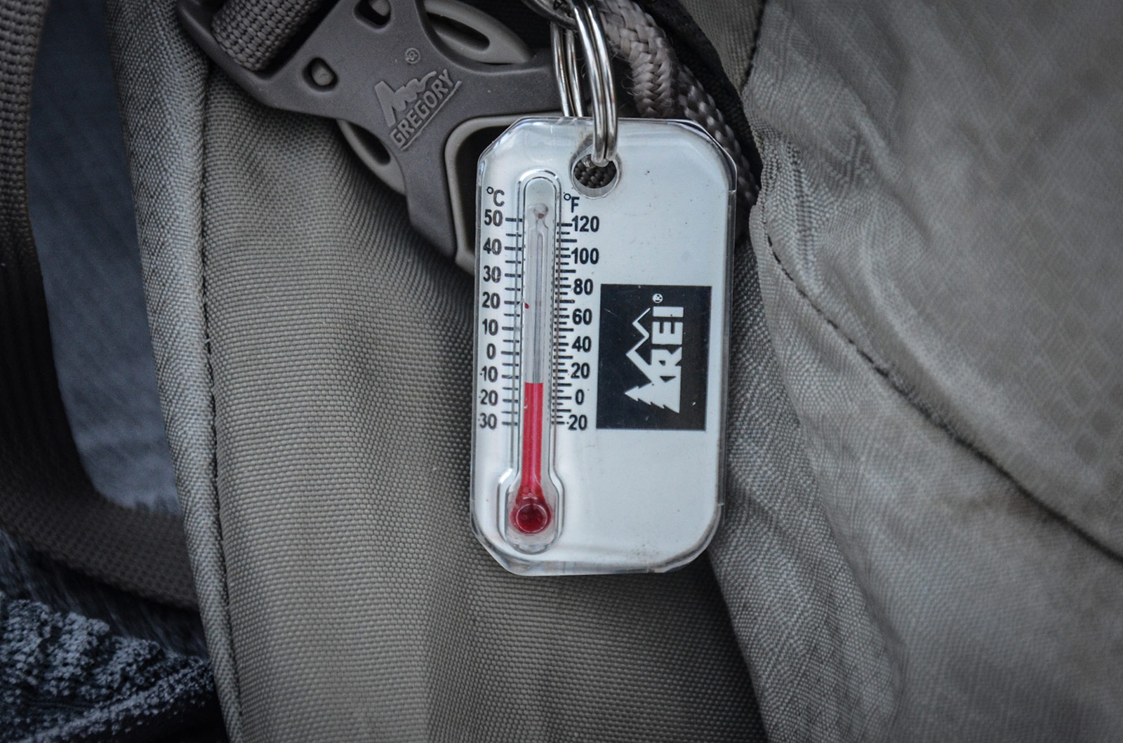
This past winter my adventure pal, Chris and I took a trip to the James River Face Wilderness near Snowden, Virginia. I'm posting this a long time after the actual trip. Words about our experience are scarce in my mind. Not sure how accurately I can depict sleeping in 10° F conditions as it's now summer and 90° F outside. That said, I'm finally getting around to posting about this trip and while the words for storytelling are scant, the pictures and good memories remain concrete in my mind and in pixel form. Chris wrote about this trip, too.
The Plan
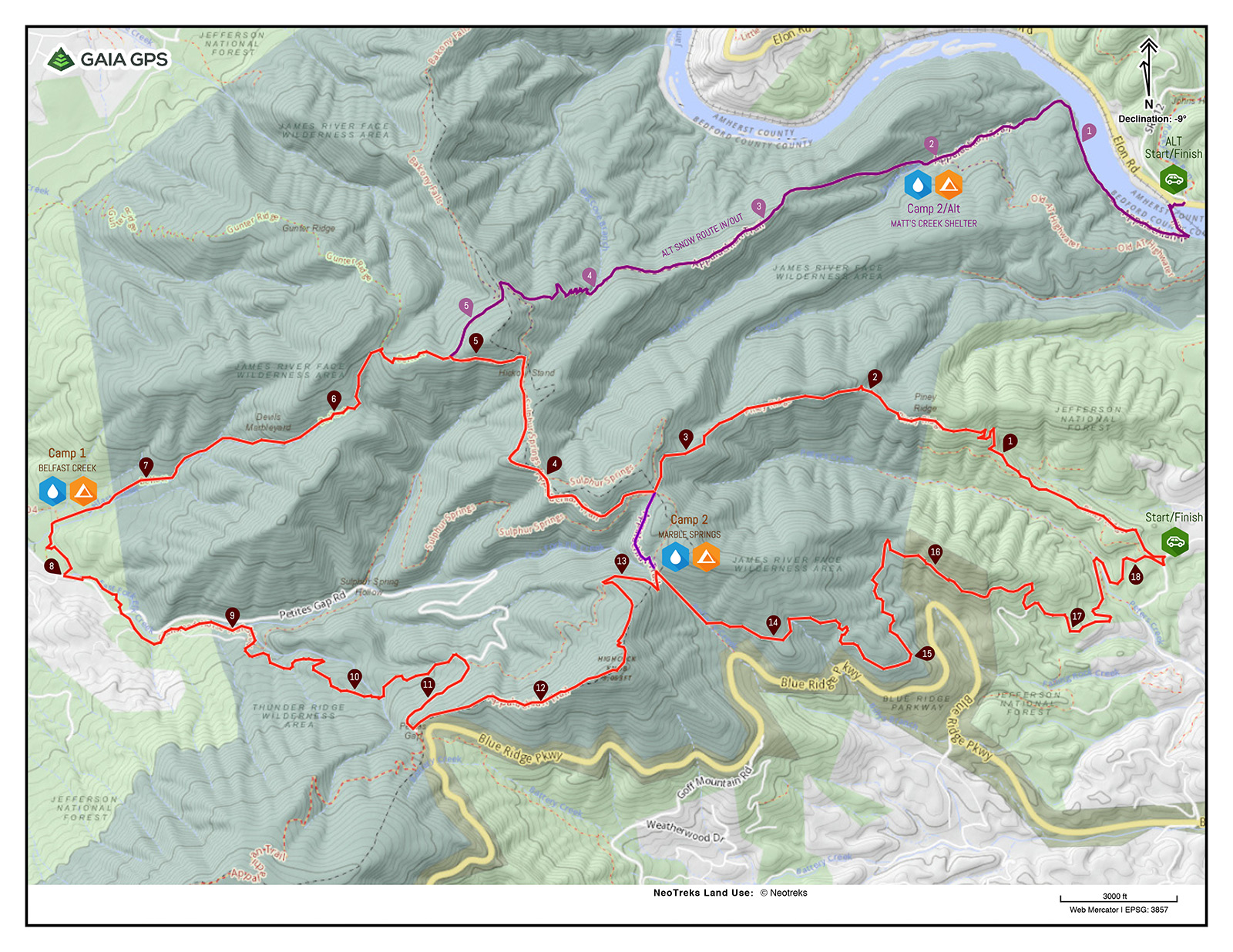
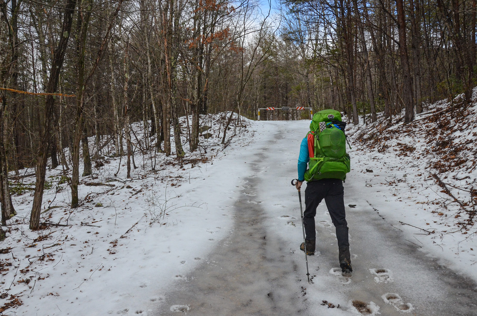
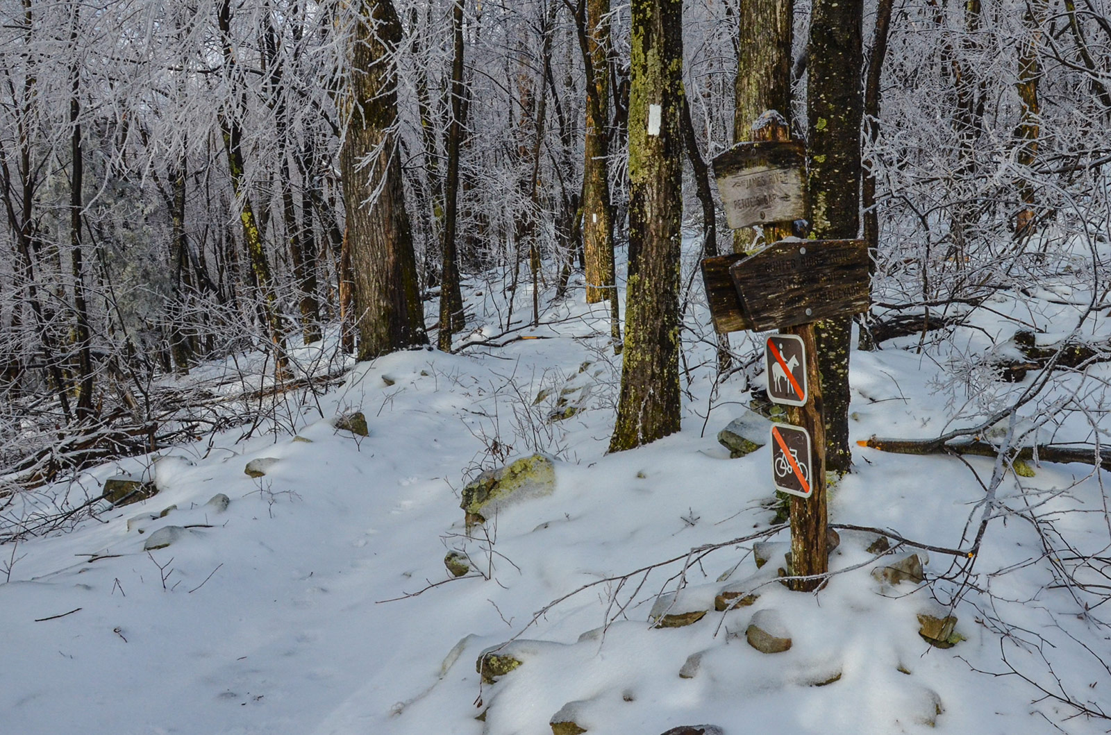
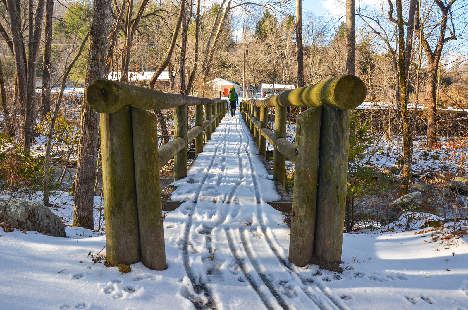
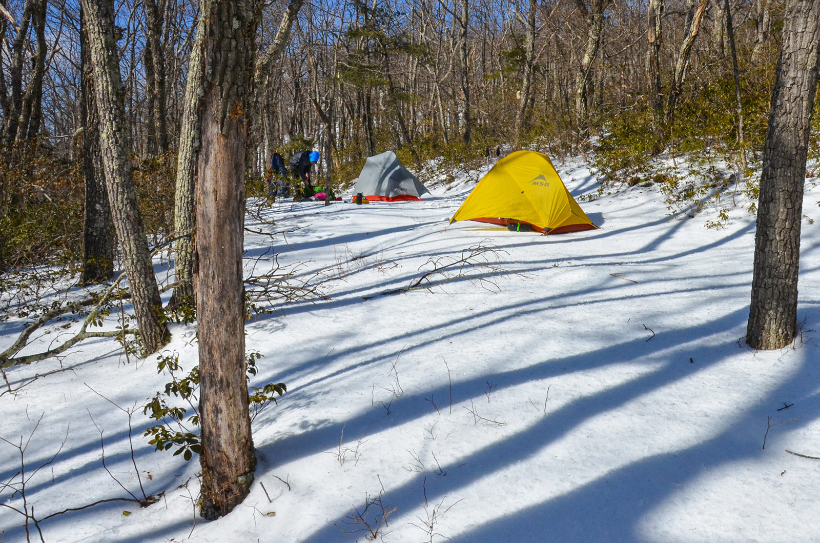
With the possibility of snow on the horizon, we had 3 different route options to give us flexibility and safety. A long option (no snow/good weather/very committed), a short option (some snow/fair to crappy weather/less committed), and a snow option (different trail head on a well travelled road/low commitment/use of A.T. shelters for campsites). The long and short option used Piney Ridge trail to form various loops, one of which passes by Devil’s Marbleyard. These options have longer distances between possible bail out points. The snow option was an out-and-back that started/ended at the A.T. foot bridge that crosses the James River near Snowden, Virginia. The trail head is on VA Rt. 501 which is a major road and should be plowed if the snow conditions are bad. The final route is pictured below in our map which we printed out on waterproof Terraslate paper. The route and trip plan were generated using cross referenced data from Gaia GPS, AllTrails, Google Earth, and Garmin Connect.
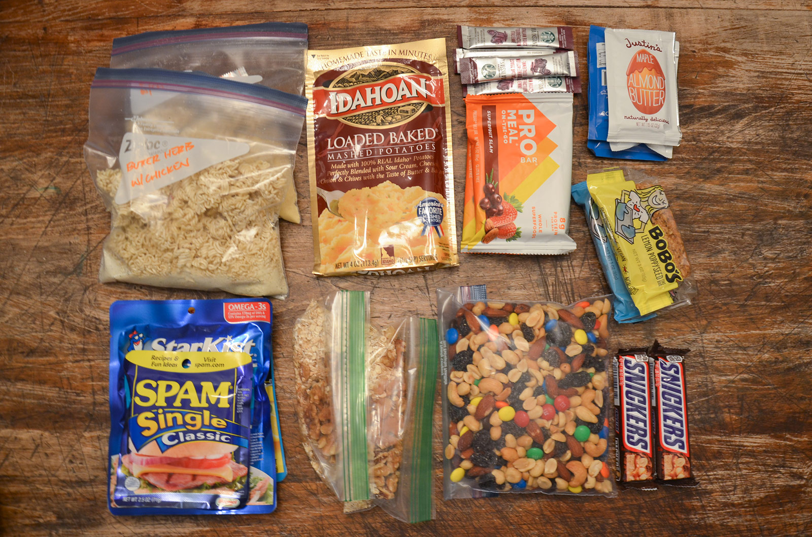
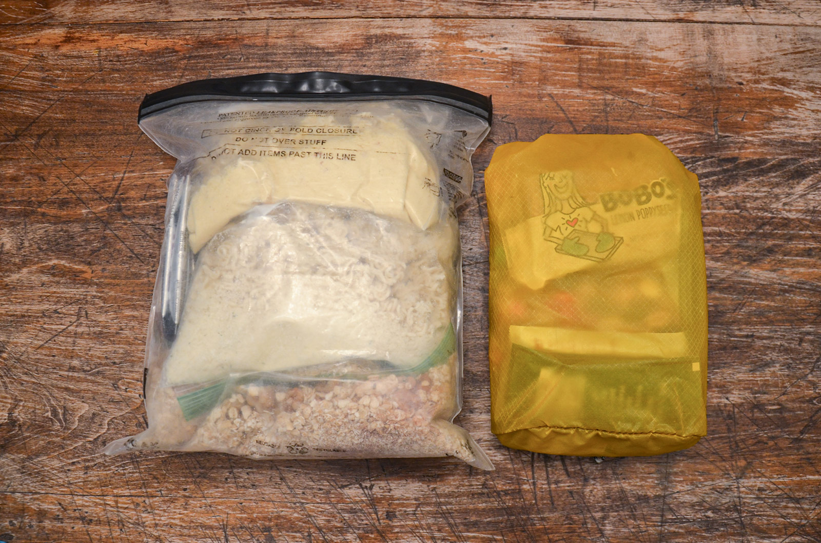
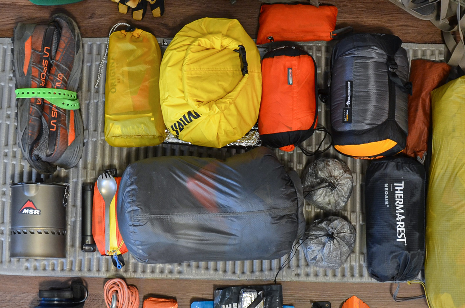
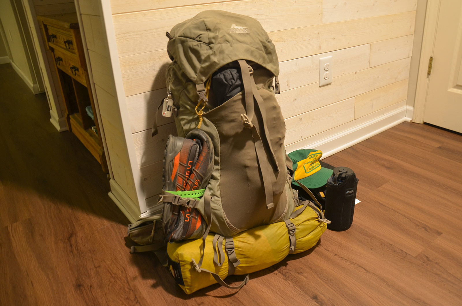
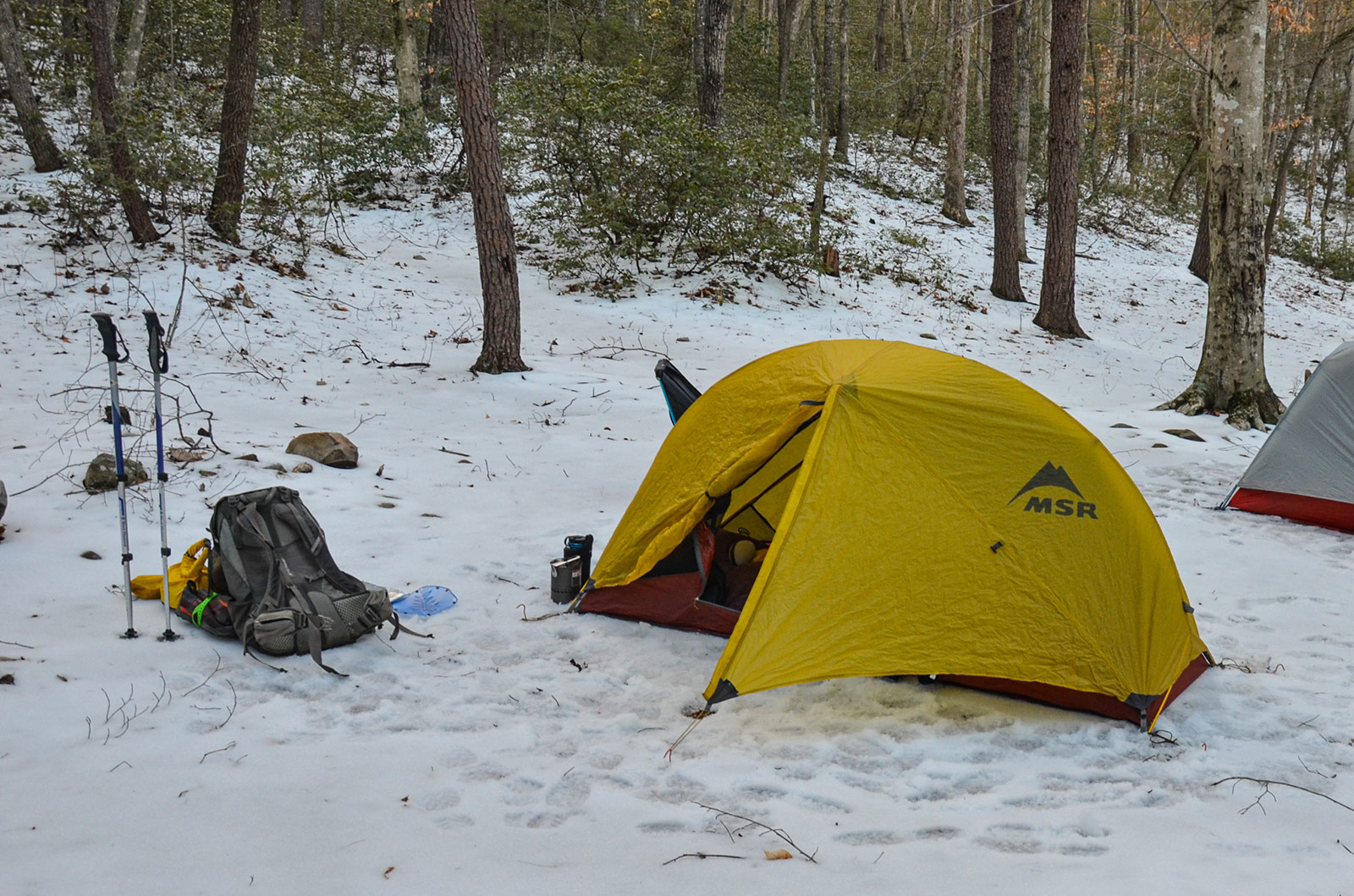
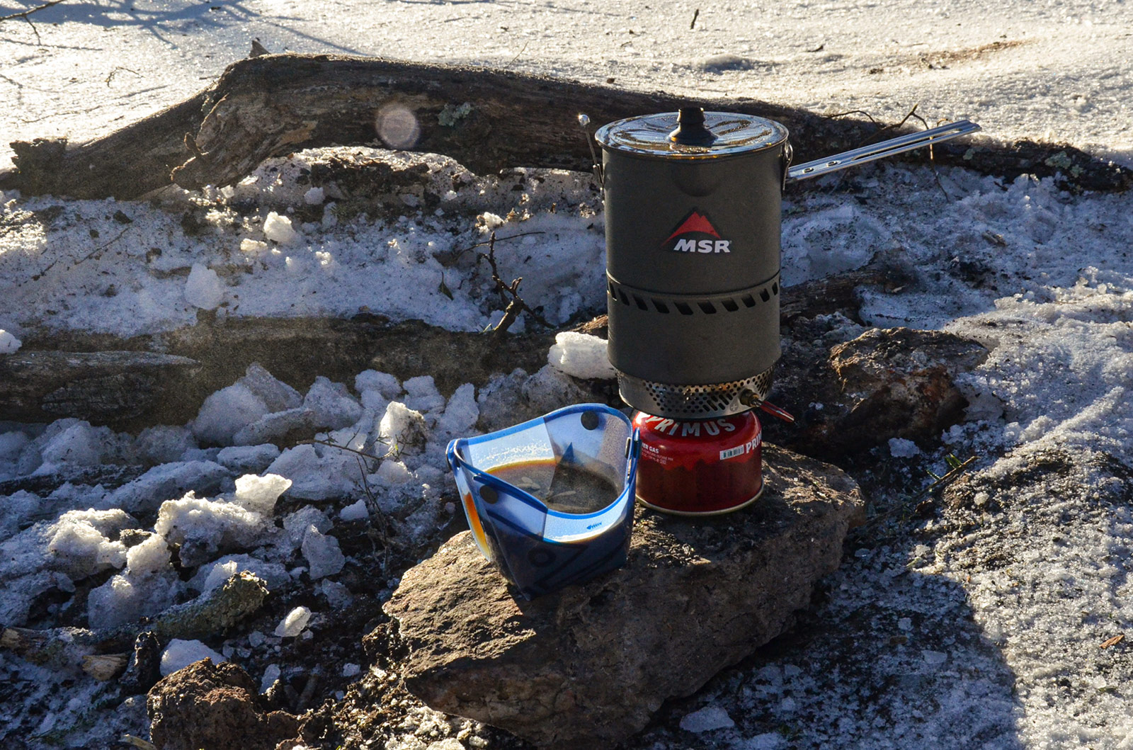
Gear & Food
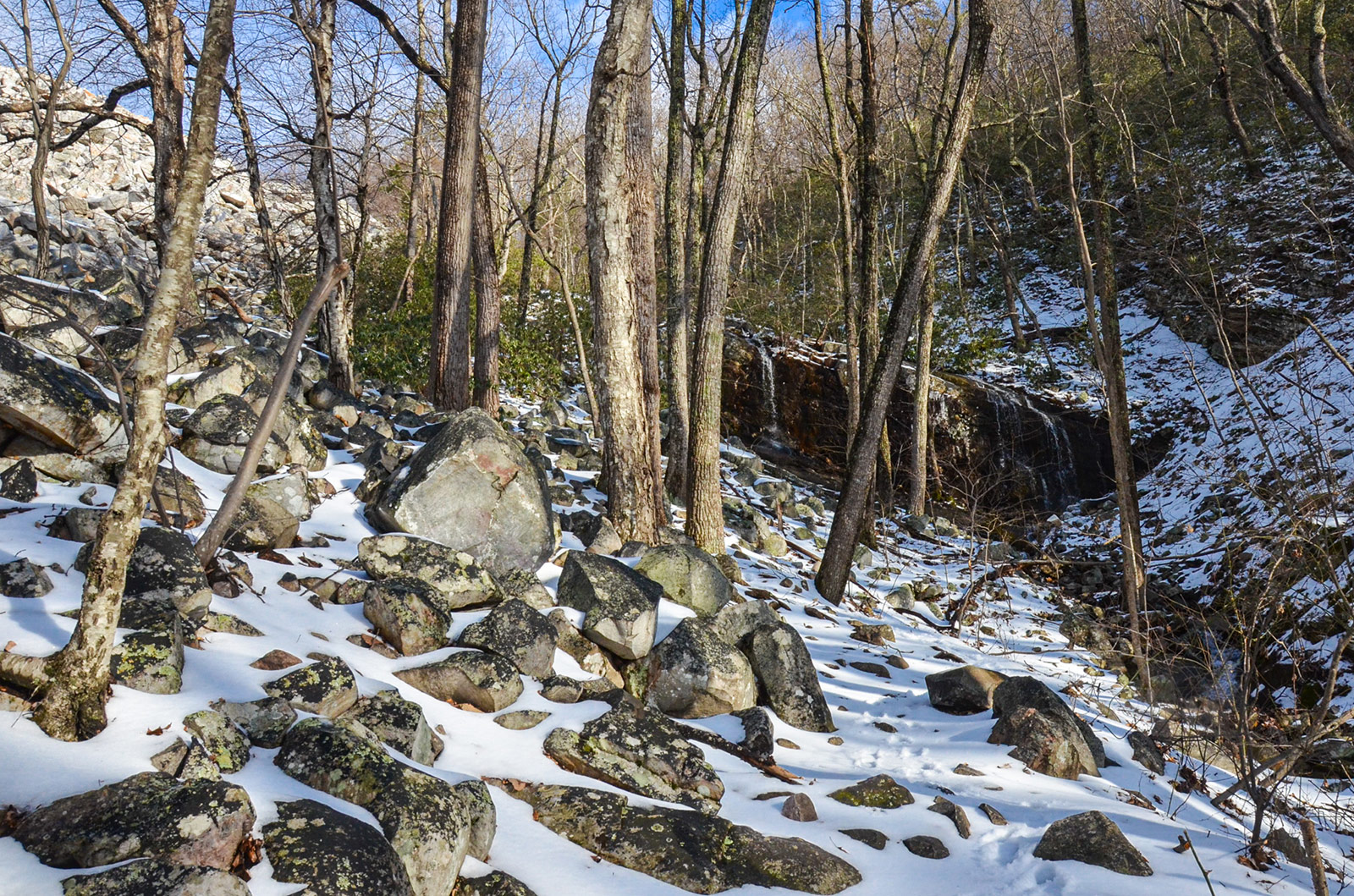
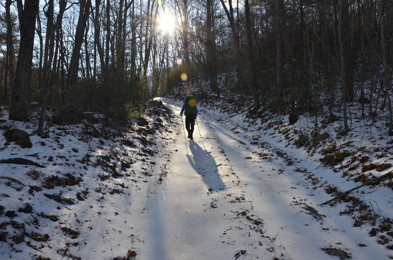
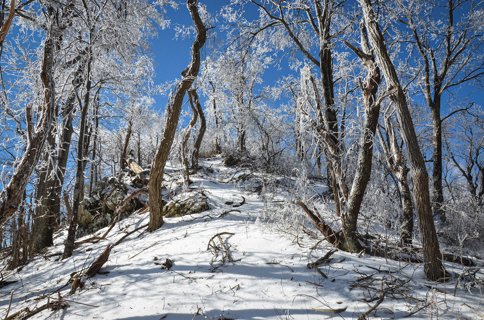
Day 1
7.94 M | +2,021 ft. gain | -2,005 ft. loss
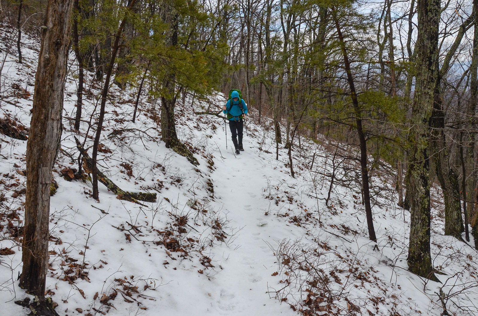
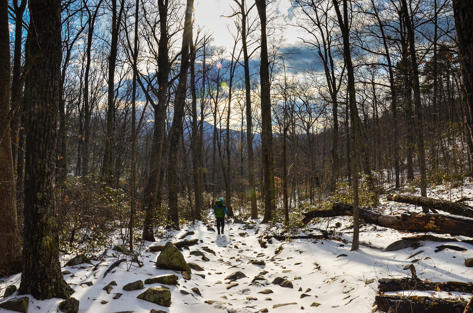
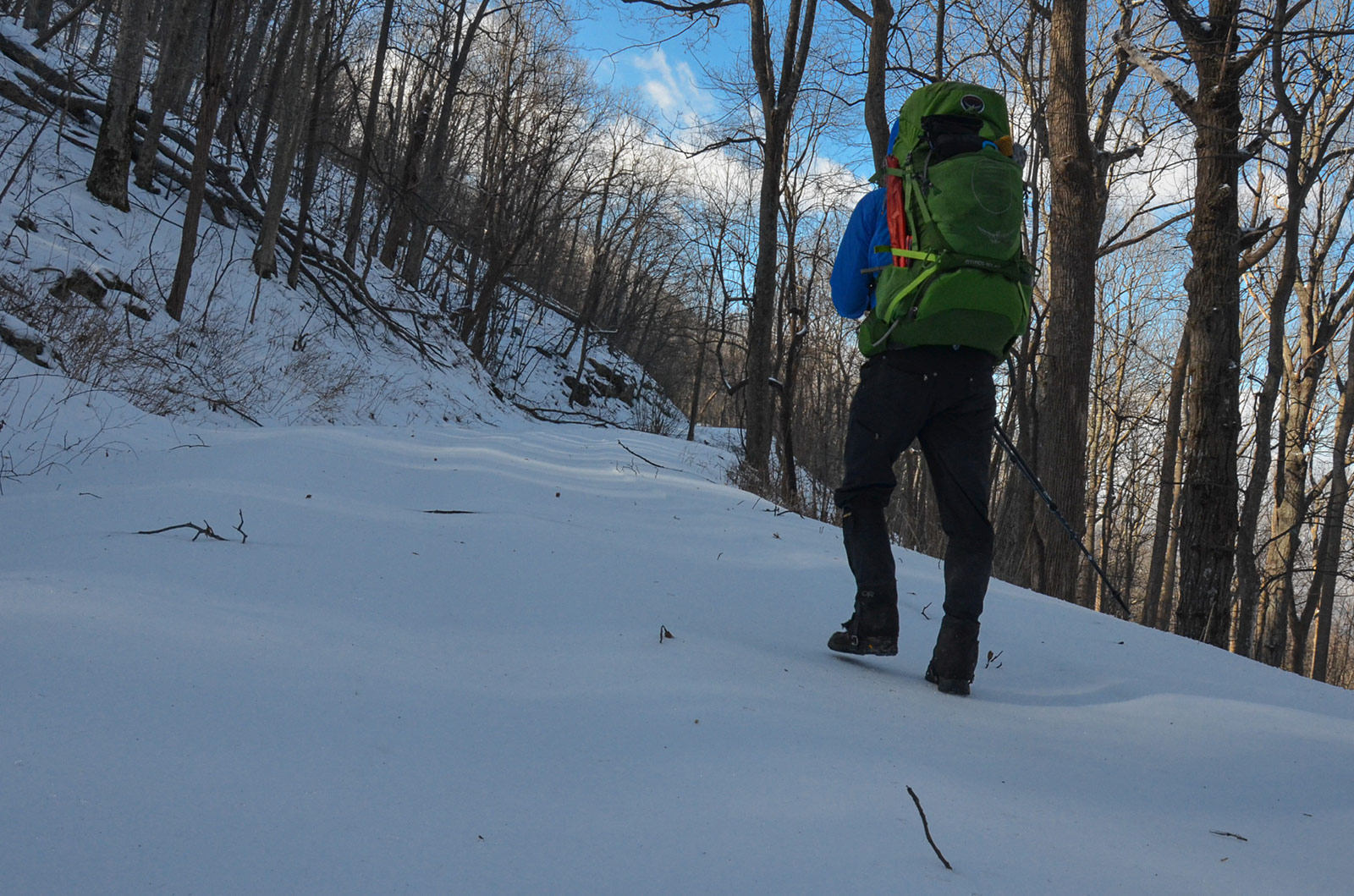
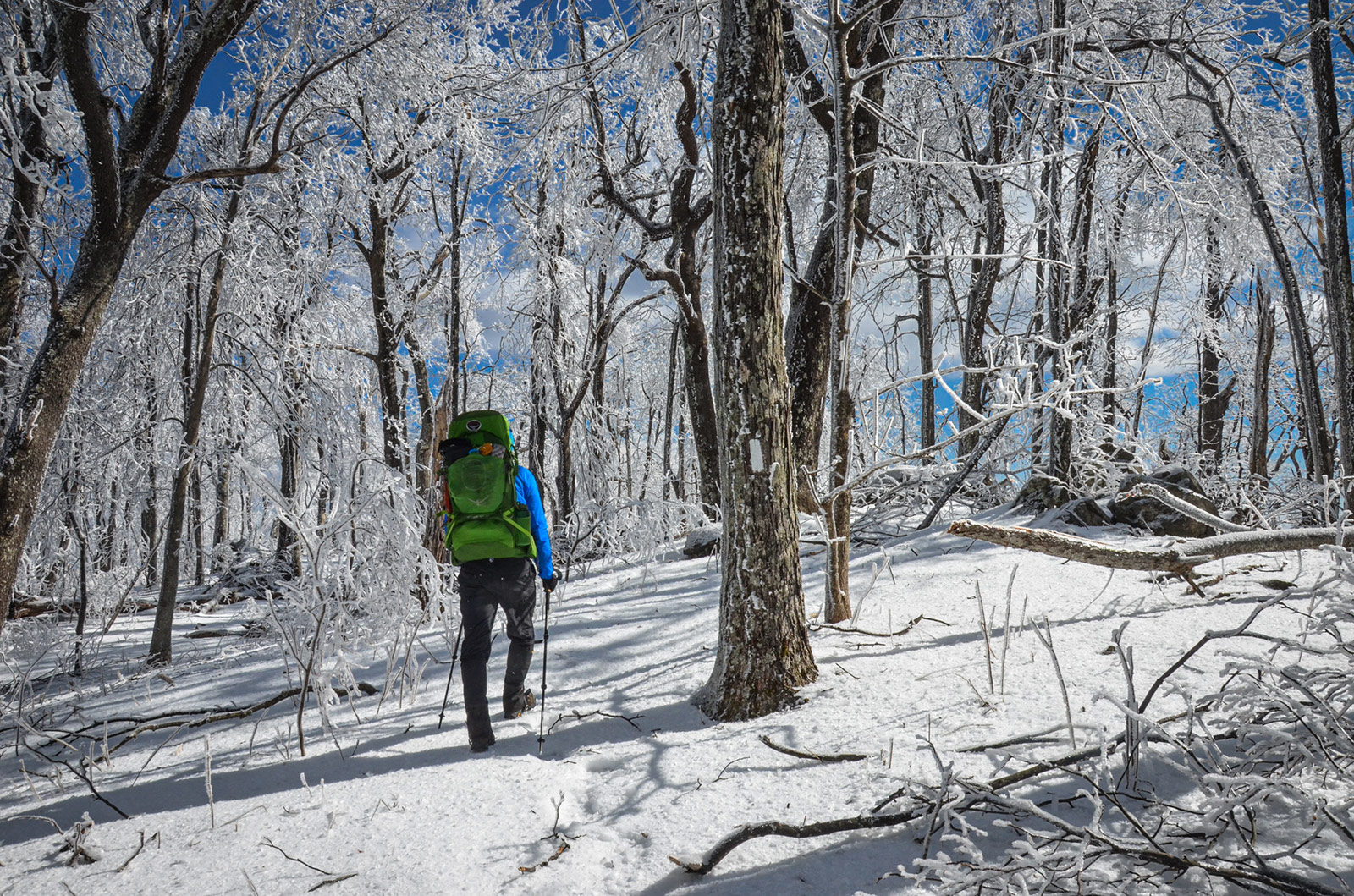
Day 2 (pt. 1)
6.7 M | +2,376 ft. gain | -1,036 ft. loss
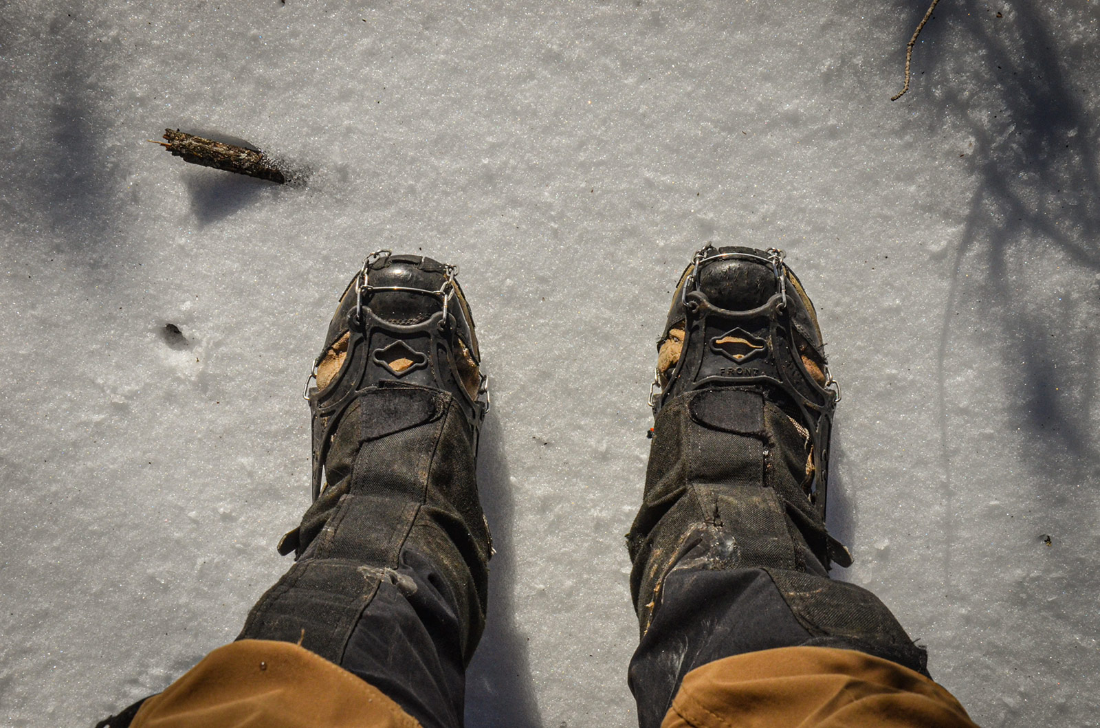
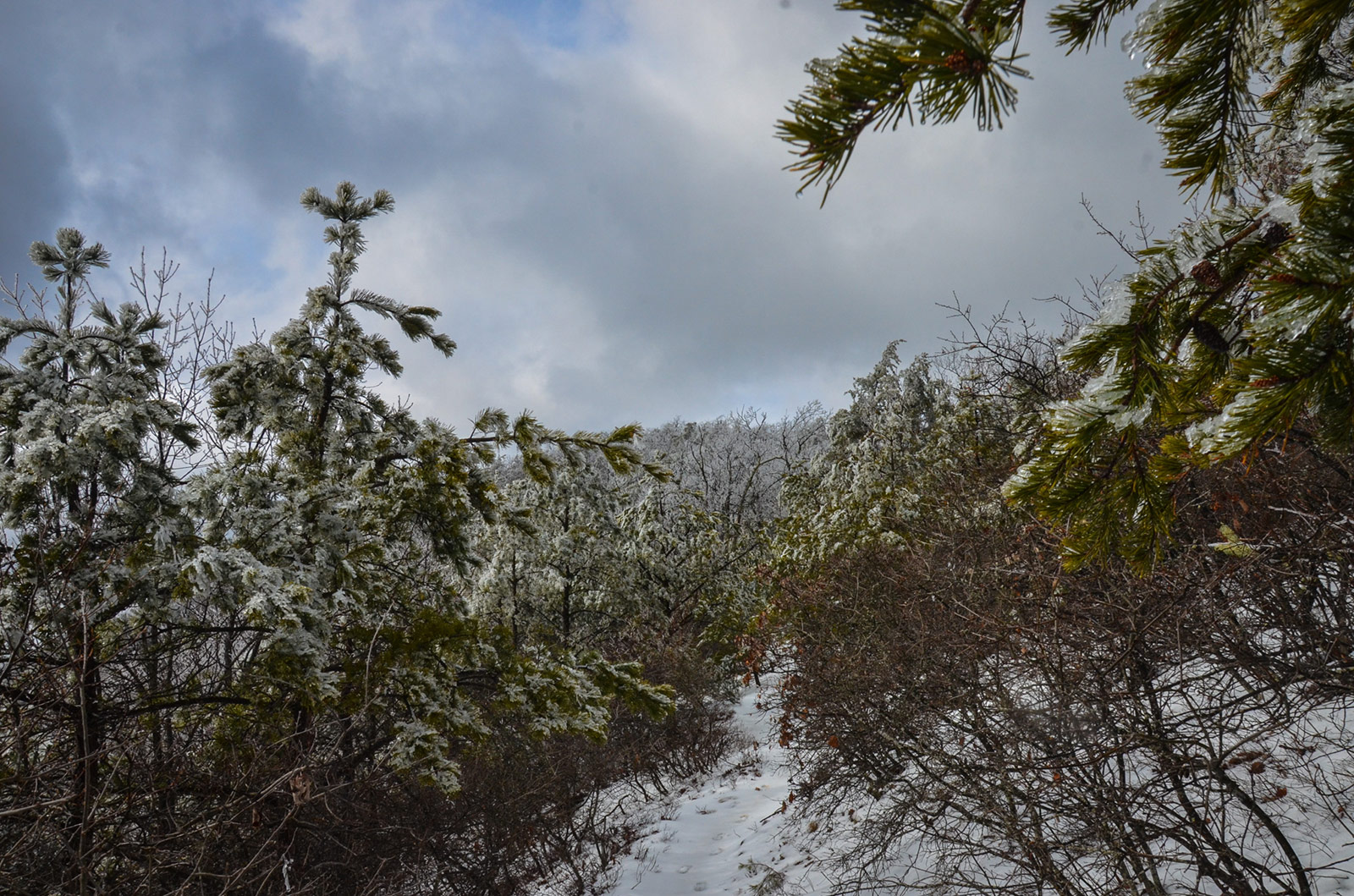
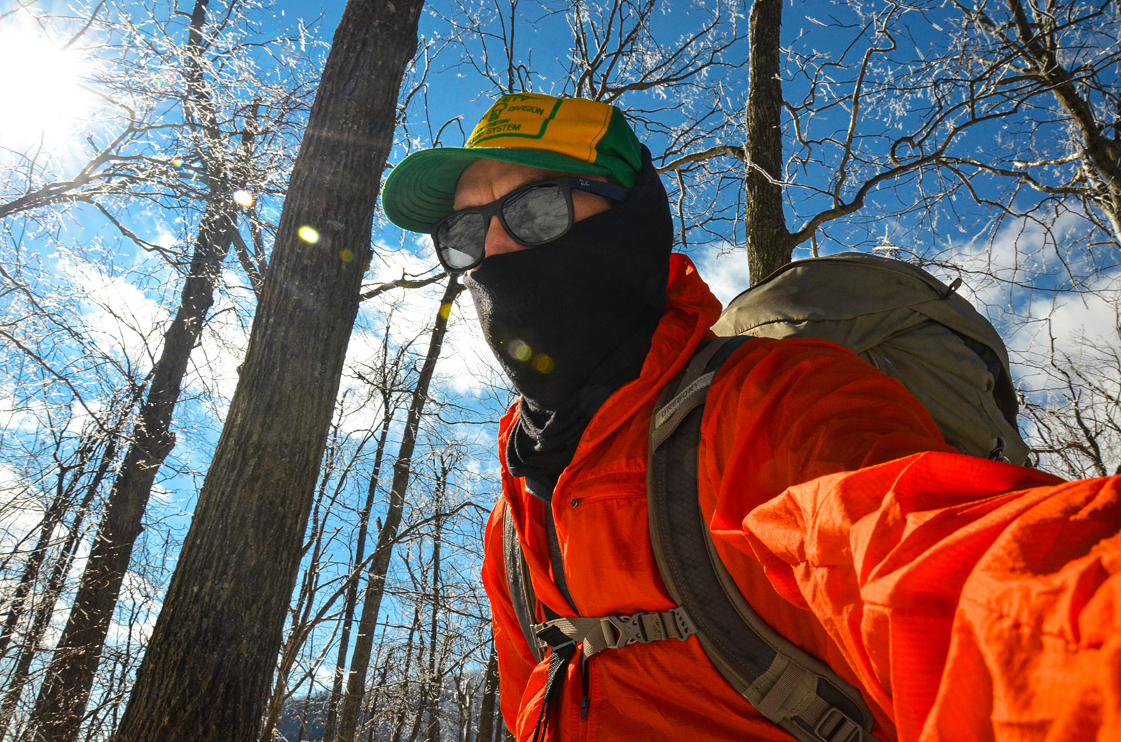
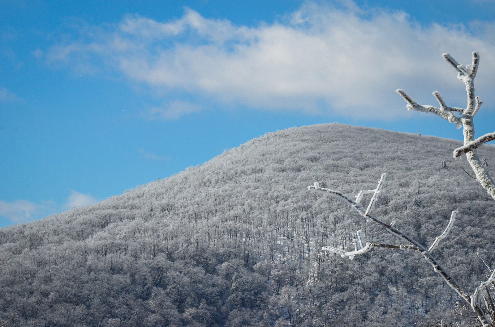
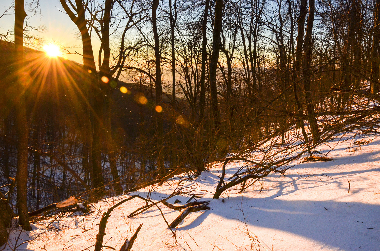
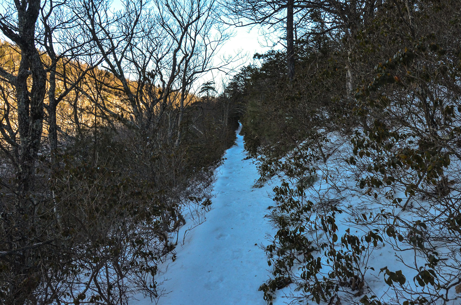
Chris recorded some video of the descent from the top of Highcock Knob. The snow had a nice crust on the top of it near the top. But as we descended and moved into the mountain's shadow, the crust turned to ice and I was glad that I had brought my microspikes. Any time conditions are like this, microspikes are a necessity.
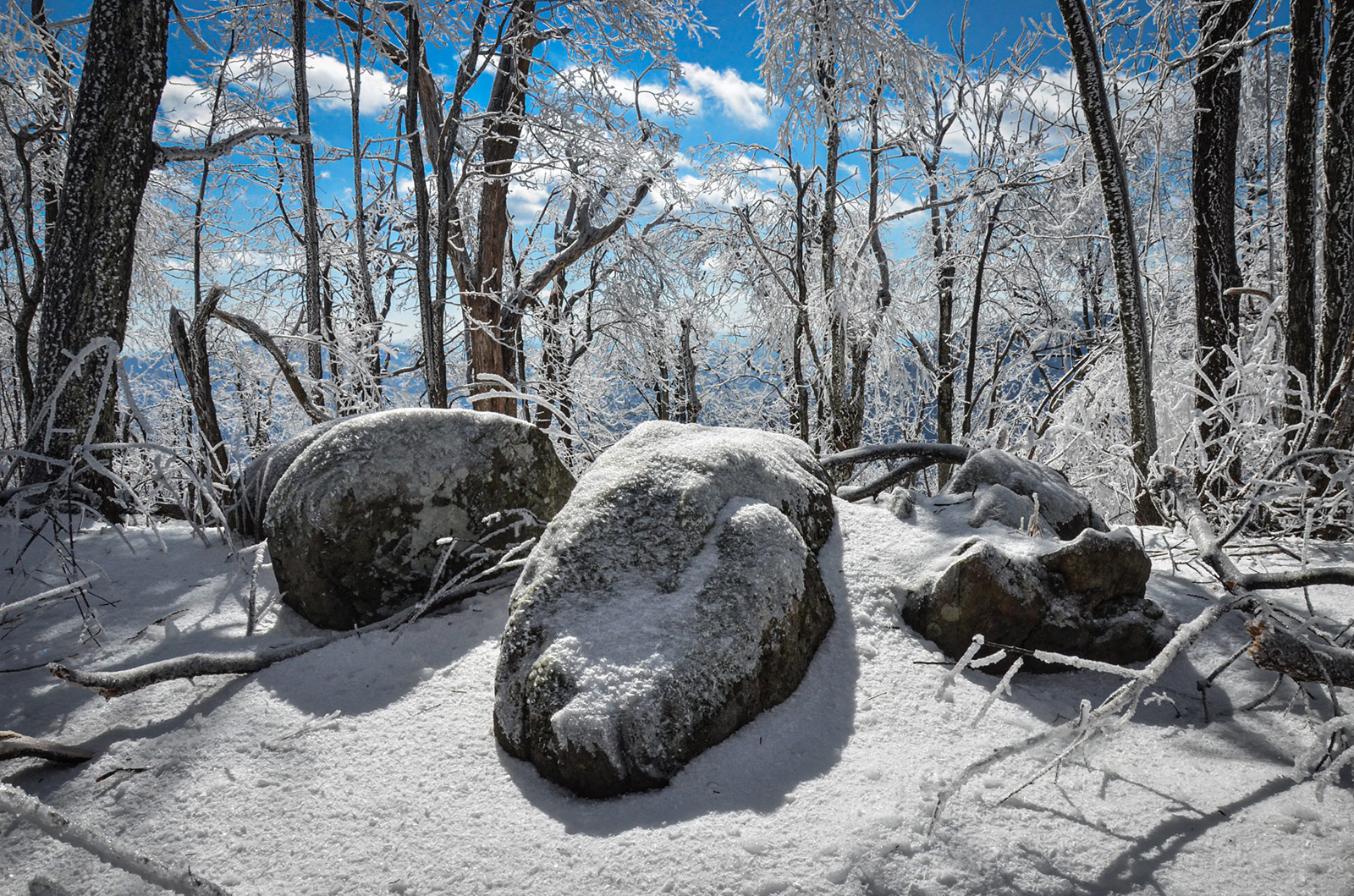
Day 2 (pt. 2)
6.38 M | +1,105 ft. gain | -1,135 ft. loss
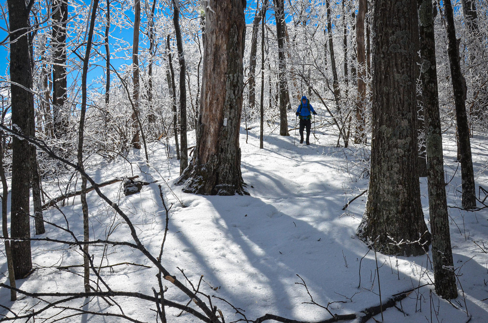
Day 3
6.38 M | +1,105 ft. gain | -1,135 ft. loss
Final Thoughts
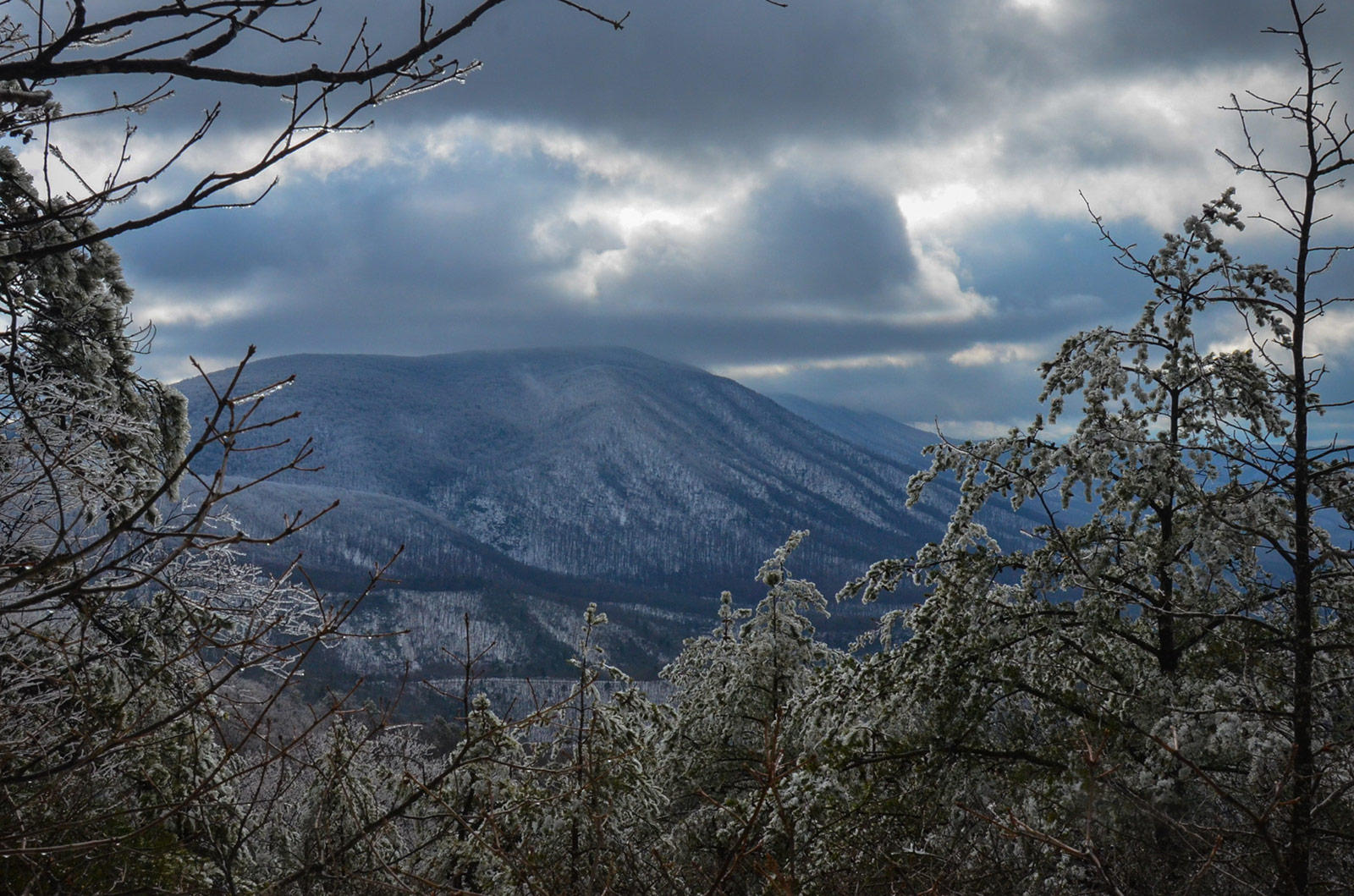
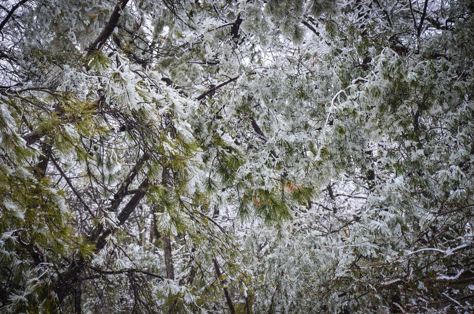
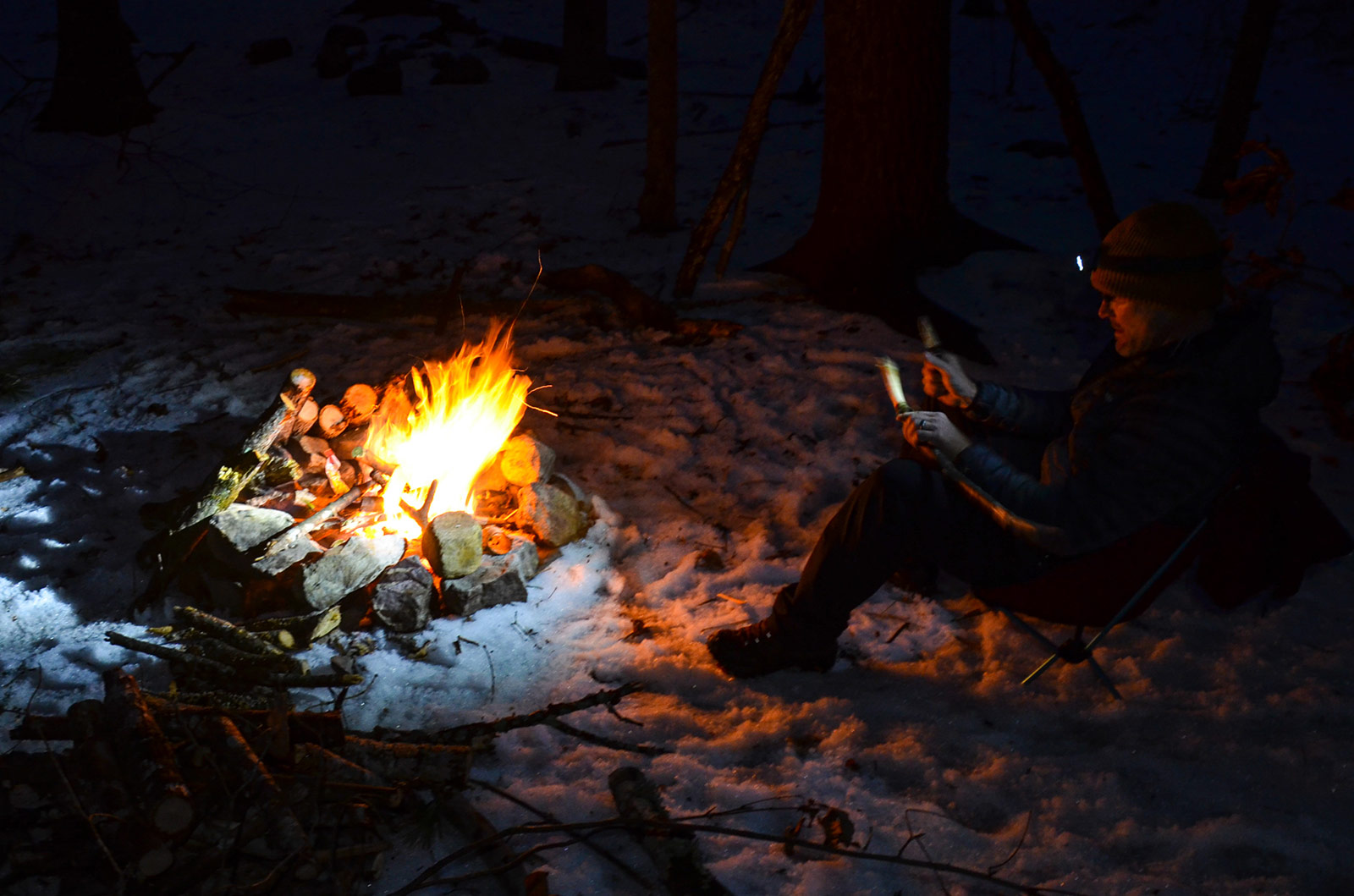
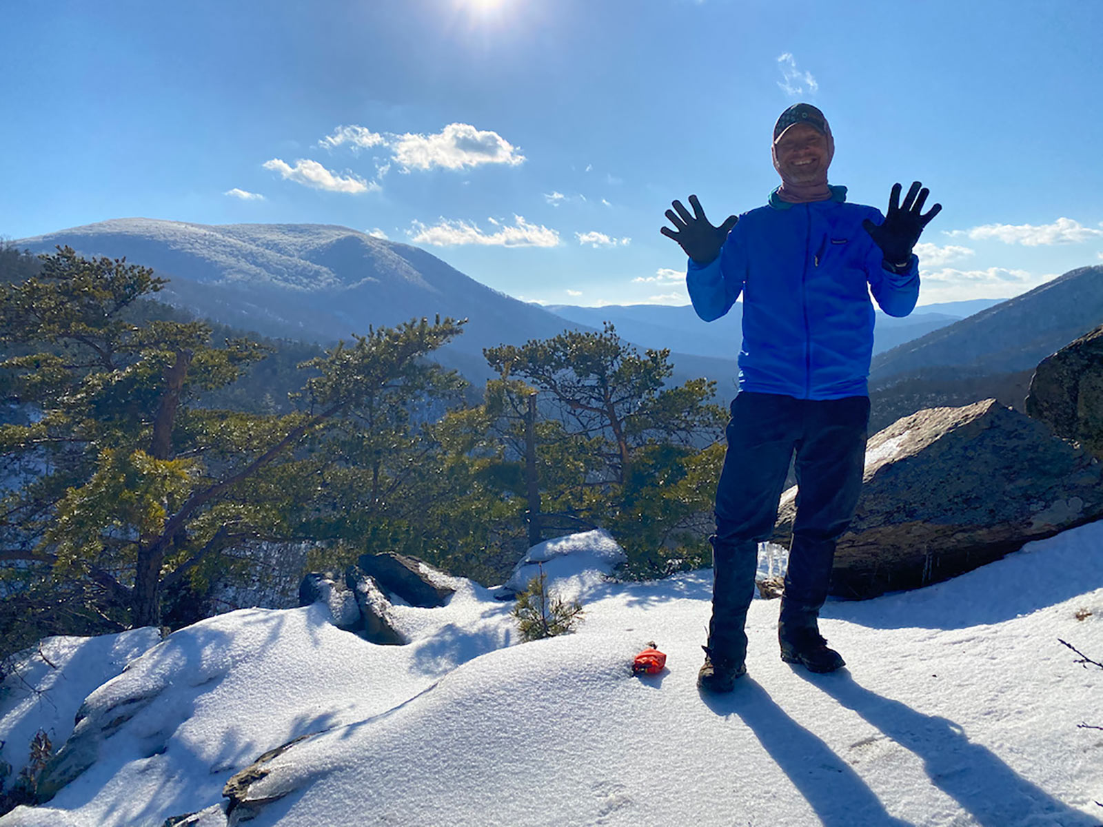
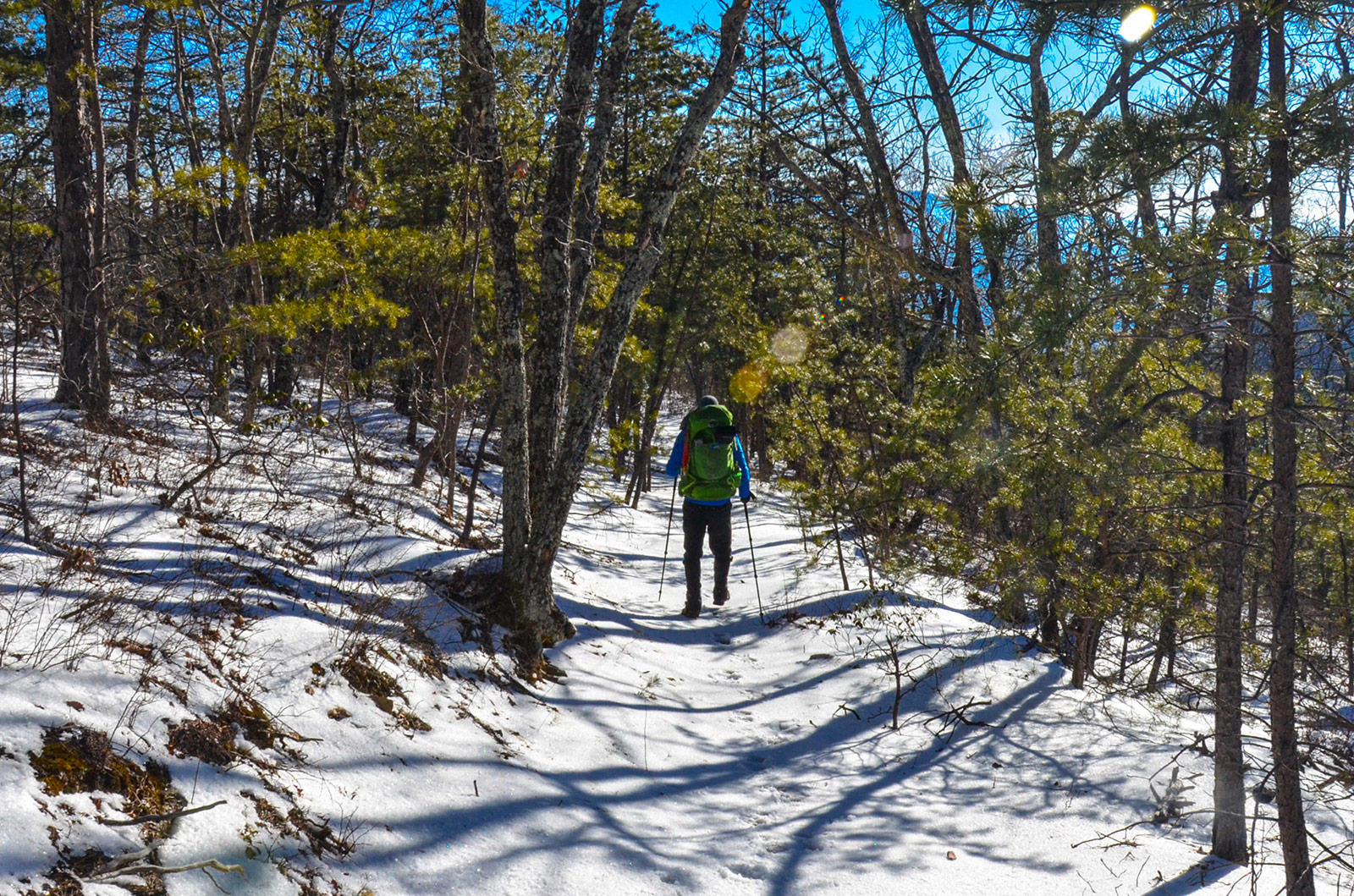
We were humbled by the conditions and had a successful trip. Others weren't so lucky that weekend and our thoughts go out to the hikers who had to be rescued and the SAR teams that got them out. I am certainly glad I brought microspikes and used them when we were traversing the ridge, way up high on the mountain where the ice had formed a slippery crust on top of the deep snow. It almost felt like we were traveling on a glacier in some places.
If there was 1 takeaway from this experience, it would be to always bring microspikes when there is a potential for ice. Being confident in my footing on steep and slippery, ice covered slopes was definitely worth the extra little bit of weight.