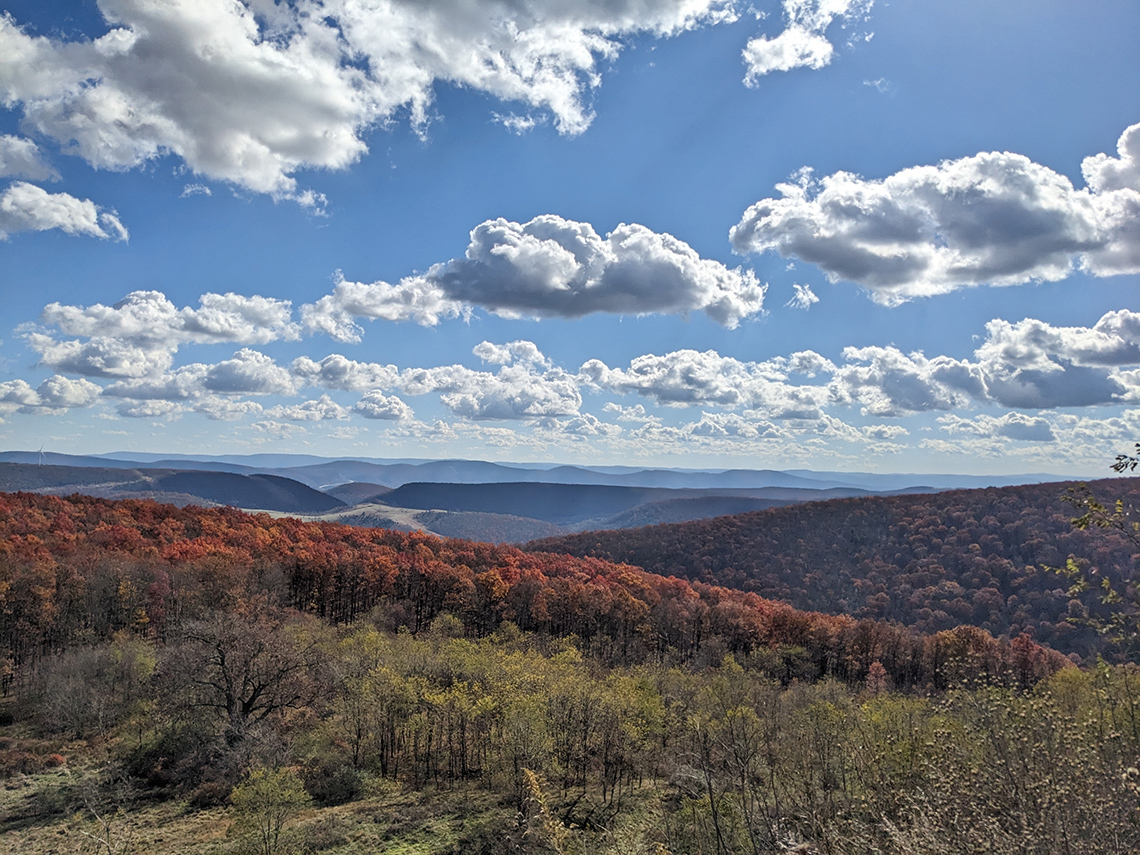
Also known as the Trout Run Valley Loop, this circuit of trails winds its way around a valley situated along the border of West Virginia and Virginia in the George Washington National Forest. There are several ways in which this route can be completed but my buddy Chris and I chose to do it in 3 days/2 nights starting at the Bucktail Trail trailhead at the northern end of the loop, hiking it counterclockwise. Another approach is to start at Wolf Gap trailhead on the southern end but more on our decision to hike it from the north later. Overall, it was a very rewarding hike and we were treated to beautiful fall foliage, just past peak color, and stunning views from the summits of Big Schloss and Tibbett Knob.
Overview and Difficulty
- Total Distance (approx.): 26.28 miles
- Total Elevation +Gain/-Loss (approx.): +4,829 ft./-4,719 ft.
- Difficulty Rating: Intermediate
- Challenge Level: The route offers just enough elevation gain and loss, with strenuous climbs and quad-busting descents, to feel like a real challenge without leaving you completely exhausted.
- Navigation: Trails are generally well-maintained and well-blazed.
- Crowds: While you may see many day hikers, especially at trailheads, the loop doesn't seem as popular for backpacking as other local routes. Expect solitude on most sections, outside of the area around Wolf Gap and Big Schloss.
- Reward: The incredible views from the different mountain summits make the effort worthwhile.
Table of Contents
Our Plan
Trip Dates: 11/8/25-11/10/25
Leading up to the dates of our hike, both West Virginia and Virginia had been in critical to severe drought status which meant finding water would be a challenge. To add to this layer of complication, in researching for this trip we found several blog posts (like this one) that mentioned water being a logistical hurdle for this route. So, given that the loop already has limited access to water by default and the drought might limit us even further, we brainstormed about ways to deal with this curveball. After initially planning to hike the route counterclockwise, starting at the Wolf Gap trailhead (TH), we decided instead to hike the route counterclockwise starting at the Bucktail Trail TH on the northern end of the loop. Hiking it this way would allow us to divide up the mileage advantageously and also allow us to camp near water each night.
Another last minute decision that tipped the scales in favor of starting on the northern end of the loop was that my buddy Chris, who would be joining me on this adventure, was driving up from the south which meant that he'd cross over the loop at the Wolf Gap trailhead on the southern end and offered to stash some jugs of water by the road on his way through. This would ensure that we'd have water in case creeks were totally dry.
Here's the breakdown of our mileage for each day:
| Segment | Distance | Elevation +/- | Duration |
|---|---|---|---|
| Day 1: Bucktail Trail TH to Camp 1 | 6.12M | +1,148 ft./-521 ft. | ~3:00:00 |
| Day 2: Camp 1 to Camp 2 near Halfmoon Mountain | 17.29M | +3,327 ft./-3,426 ft. | ~9:00:00 |
| Day 3: Camp 2 back to Bucktail Trail TH | 2.87M | +354 ft./-772 ft. | ~1:30:00 |
- Day 1: Bucktail Trail TH to Troutpond Trail intersection: 6.12M
- Day 2:Troutpond Intersection to Halfmoon Mountain Trail intersection: 17.29M
- Day 3:Halfmoon Mountain intersection back to Bucktail Trail TH: 2.87M
Maps
As mentioned above, we planned on starting at the Bucktail Trail trailhead, using Long Mountain Trail, heading southwest to the intersection of Trout Pond Trail where we'd camp and there'd hopefully be a creek (Trout Pond Run). Then the plan was to continue hiking up Long Mountain Trail to Judge Rye/Devil's Hole Rd. We'd hike along the road for a bit then begin the turn northeast along Tibbett Knob Trail eventually reaching Wolf Gap where Chris stashed water. We'd refill and rehydrate then head up Mill Mountain Trail to the summit spur trail for Big Schloss. Then we'd continue along Mill Mountain Trail all the way to Overmill Cutoff Trail to begin the turn northwest. We'd hike up to the top of Halfmoon Mountain (if there was time) and head down Halfmoon Trail to the intersection with Bucktail Cutoff Trail for night 2. Then on day 3, we'd hike out via Bucktail Cutoff Trail back to the Bucktail Trail trailhead.
For this trip, we used a combination of AllTrails, Gaia GPS, and CalTopo to help us plan. Below is the Gaia GPS map along with a link to the map.

Campsites
Night 1
We always try to camp near water for logistical reasons. It makes it easy to fill up our bottles to rehydrate, we can use it for cooking, and we can use it to safely douse our campfire if we have one. For this trip, we planned to camp near creeks that were indicated on the map with the caveat that there might not be water available because of the drought conditions. Justin Lightfoot over at Into the Backcountry Guides has a lot of really good information and put together this nice CalTopo map which marks campsites and water sources.
The first day's hike wouldn't be very long or challenging and we knew we could ration water if we needed to. For night 1, we planned to camp at the intersection of Long Mountain Trail and Trout Pond Trail.

Night 2
Day two's hike would be exceptionally long and we knew we'd be hiking for at least 9 hours. Camping near a known water source would be crucial so we elected to camp at a lower elevation with the hope that there would be enough collective ground water feeding into Halfmoon Run. Our route would bump into several campsites along the way before our planned campsite but we didn't want to gamble and opted to hike a bit longer with the hope that there'd be water farther down the mountain. For night 2, we planned to camp at the intersection of Halfmoon Trail and Bucktail Cutoff Trail next to Halfmoon Run.

Getting There
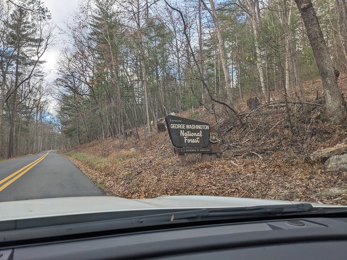
This set of trails is situated near Wardensville, WV. Upon arrival, there is plenty of parking along the side of the gravel loop at the trailhead off of Trout Run Rd (just don't block the Forest Service gate for the trail). Here are the GPS coordinates for the trailhead: 39°00'51.5"N 78°39'50.0"W.
Day 1
6.62 miles | +1,302 ft. of gain | -738 ft. of loss
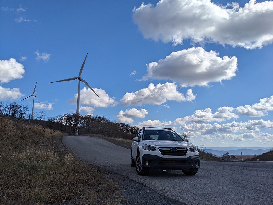
I left Columbus around 5:30am in the fog and rain. Just outside of town I found a Starbuck's and grabbed a coffee and a breakfast sandwich. It was a gray and wet start to the day but the leaves in West Virginia and Pennsylvania seemed to be just past peak color and the oranges and yellows dramatically popped against the drab foggy conditions. Eventually the rain and clouds melted away as the sun came up. Driving through the mountains of Maryland and West Virginia, I was treated to some amazing views along US 48.
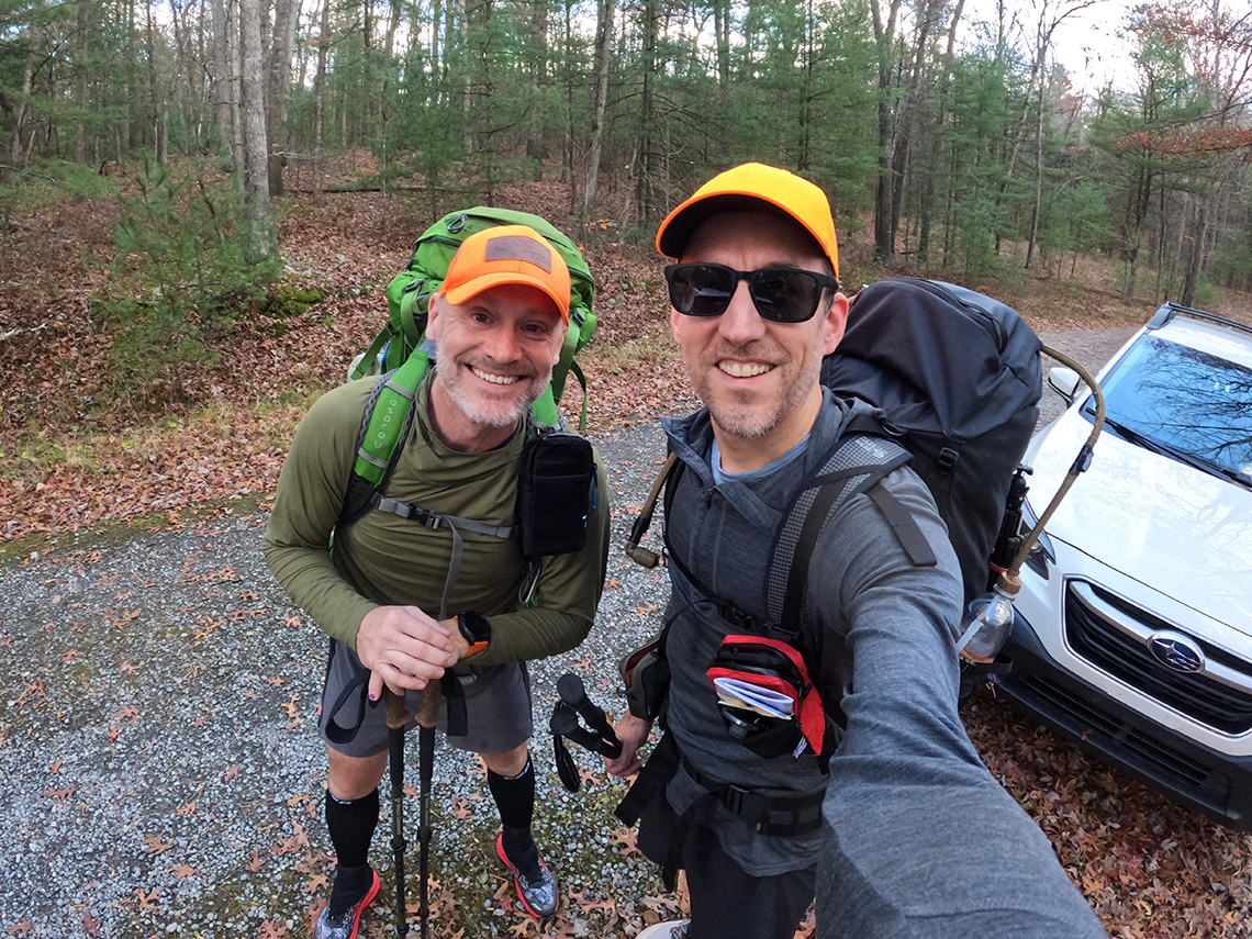
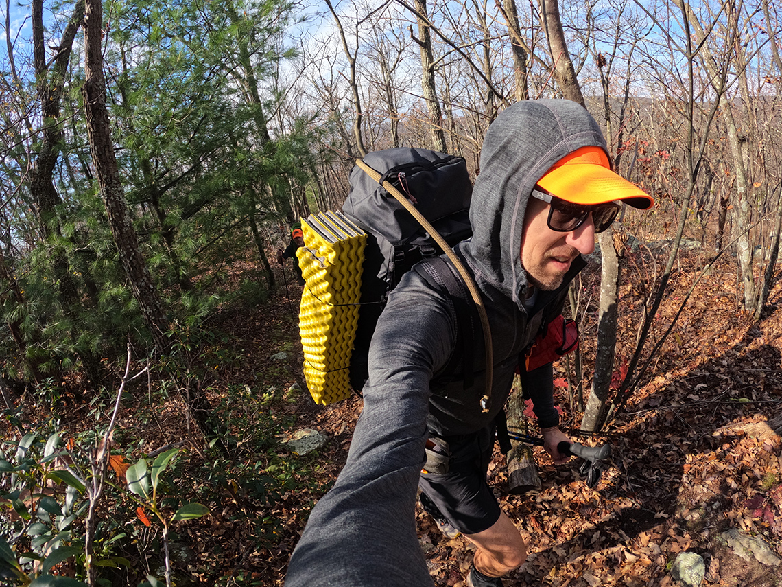
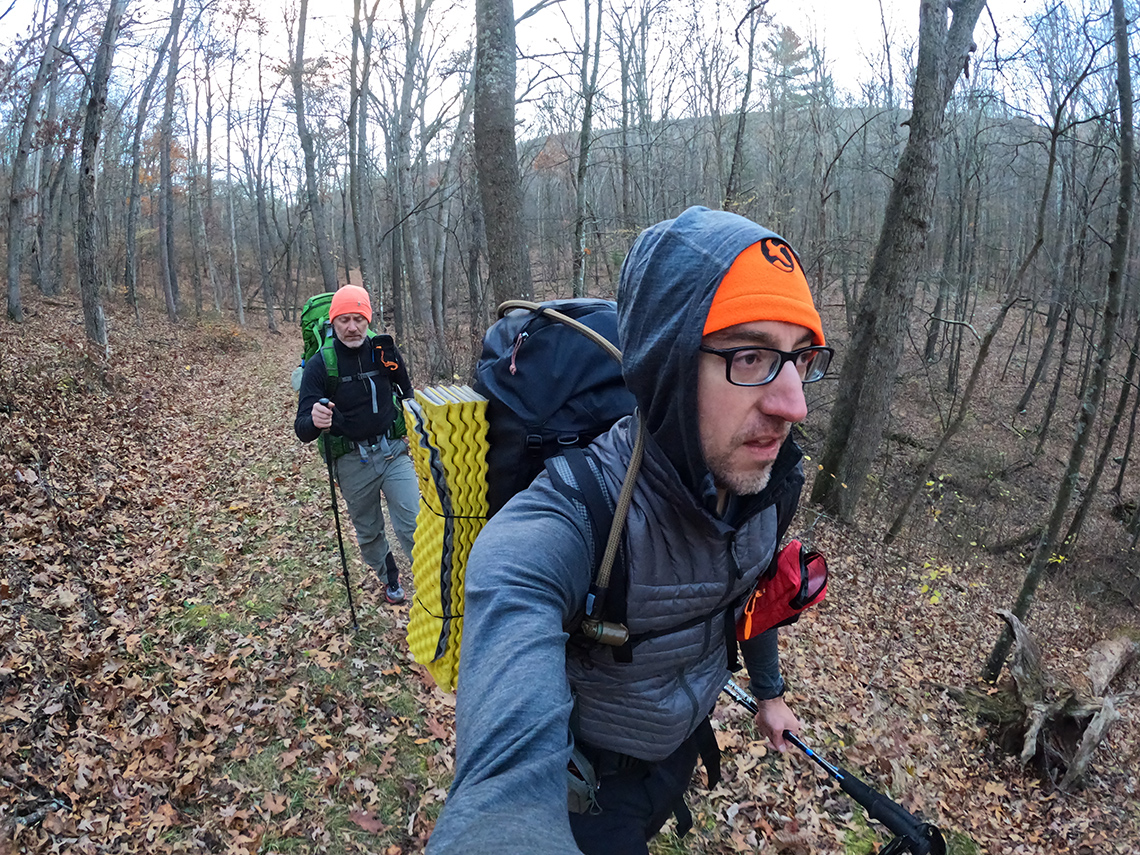
When I arrived at the Bucktail Trail gravel loop, Chris was already there getting his pack tuned and ready for the hike. We said our hellos and caught up on trip details and discussed the weather conditions and how perfect it was. We got our GPS watches synced up to the satellites and hit the trail.
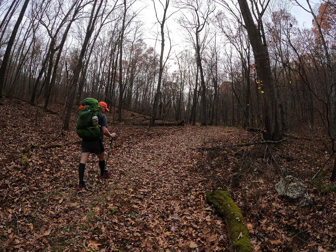
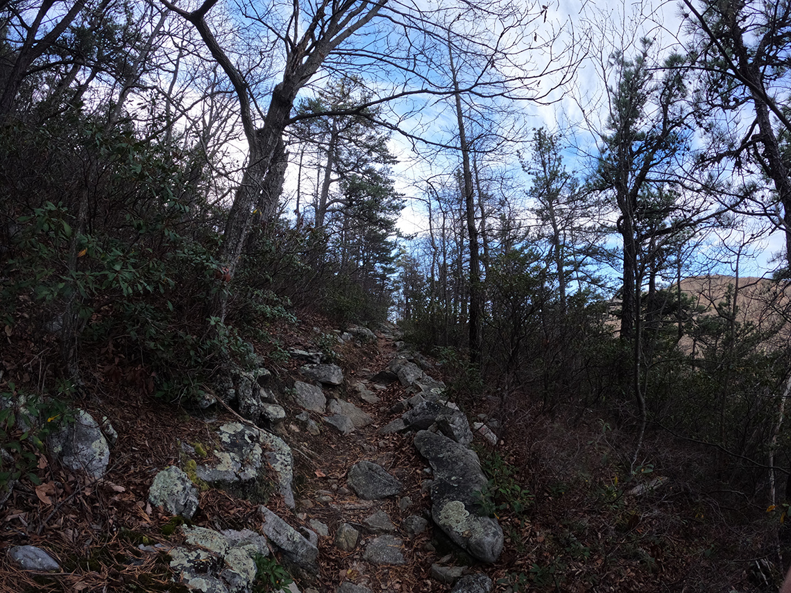
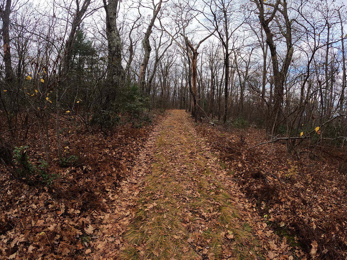
The route along North Long Mountain Trail crossed over Trout Run Rd and then ducked into the woods, making its way south in the direction of Trout Pond Campground. This section of the trail had a fairly gentle uphill grade. The total gain for the day was 1,302 ft. but it didn't really feel like it because of how gradual the climb was. There were a few rolling sections but it was mostly pretty mellow and not very strenuous.
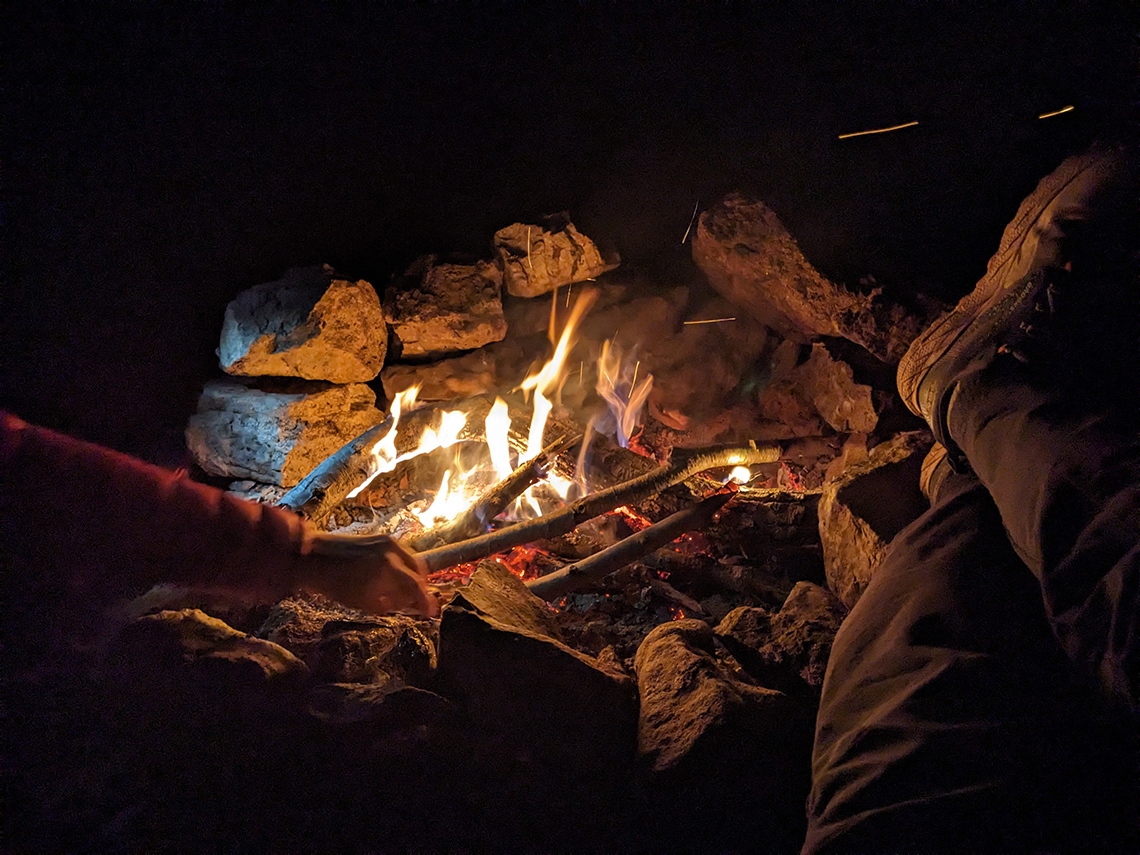
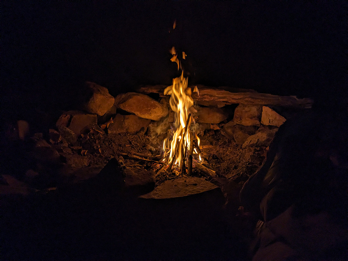
We arrived at the planned campsite with about an hour of daylight left but the creek that seemed closer to the campsite on the map was not there. After setting our packs down, we decided to go scout for the elusive creek. I went down Trout Pond Trail towards the campground, thinking that there'd be water further down in elevation and Chris continued up Long Mountain Trail. I didn't find anything after going about .25 miles down the trail. Upon my return, I was happy to learn that Chris had located the running creek just up the trail. Water source: Check! We set up camp and sat down in our chairs and enjoyed dinner and the campfire.
Day 2
16.7 miles | +3,386 ft. of gain | -3,448 ft. of loss
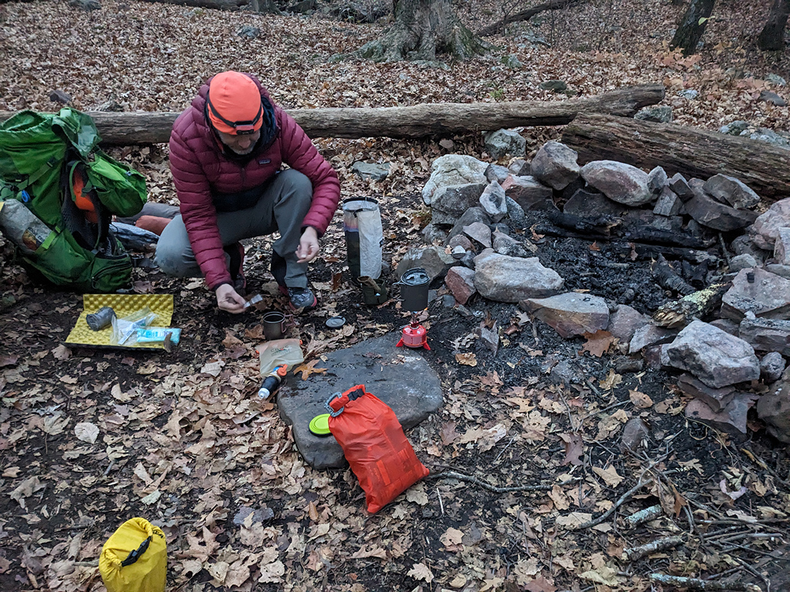
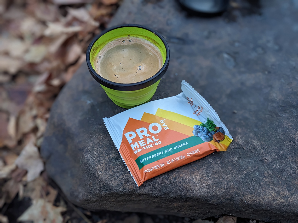
We began super early, waking up around 6:00am with the intention of being on the trail by 7:00am because of the large amount of ground we needed to cover for the day. After a bit of breakfast, coffee, and campsite disassembly, we got on the trail by 7:15am. The trail meandered a bit through the valley and then begain a long climb up towards Judge Rye/Devil's Hole Rd. Looking at the map, I thought it would be a paved road but was pleasantly surprised to discover that it is indeed a gravel road. My mind began wandering about using this road for a bikepacking route in the future.
We cruised along the road for a bit as the terrain rolled gently up and down along the ridge and eventually the route ducked back into the woods on Tibbett Knob Trail. At the Tibbett Knob trailhead, we found a campsite with a lot of litter and a still smoldering fire ring. Next to the fire ring was a pile of ice and several unopened bottles of water. Ummm... why not just dump the ice on the fire ring? So we proceeded to do just that. Move the ice onto the smoldering fire ring and dump the waters onto the fire ring. Then we packed out the bottles.
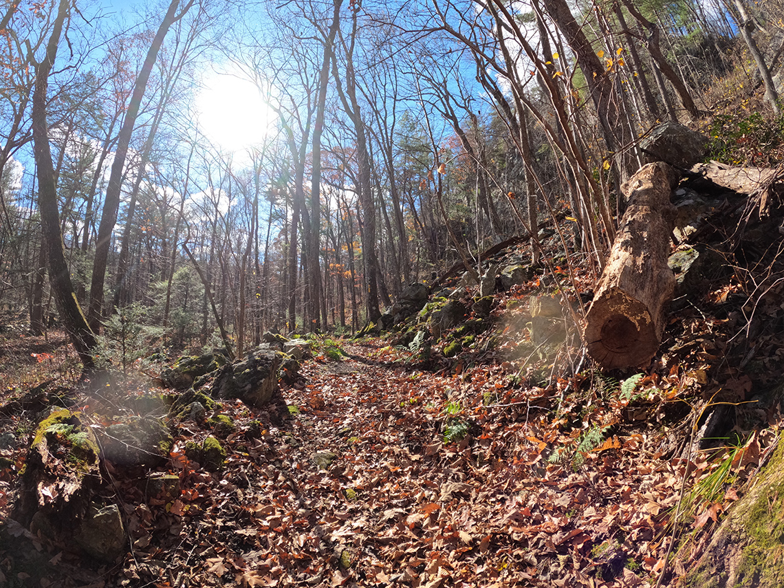
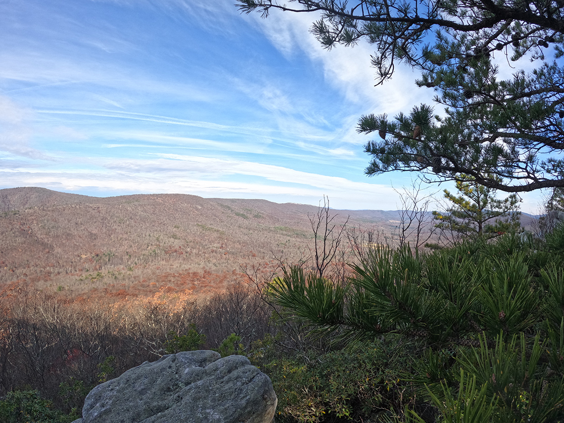
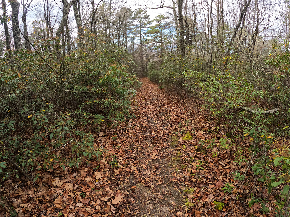
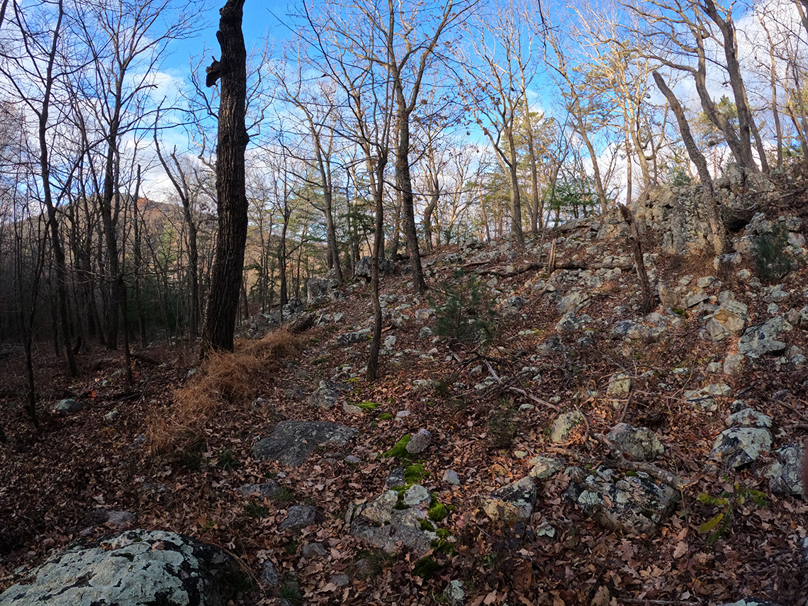
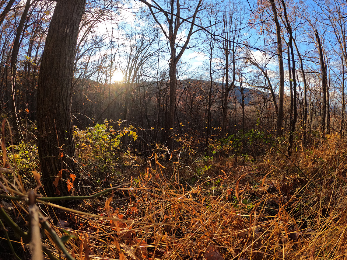
We continued along Tibbett Knob Trail to the overlook and took in the views. This would be 1 of 3 planned views of the Perry Valley/Trout Run Valley and we couldn't have had better weather to enjoy such a great outlook on the surrounding landscape.
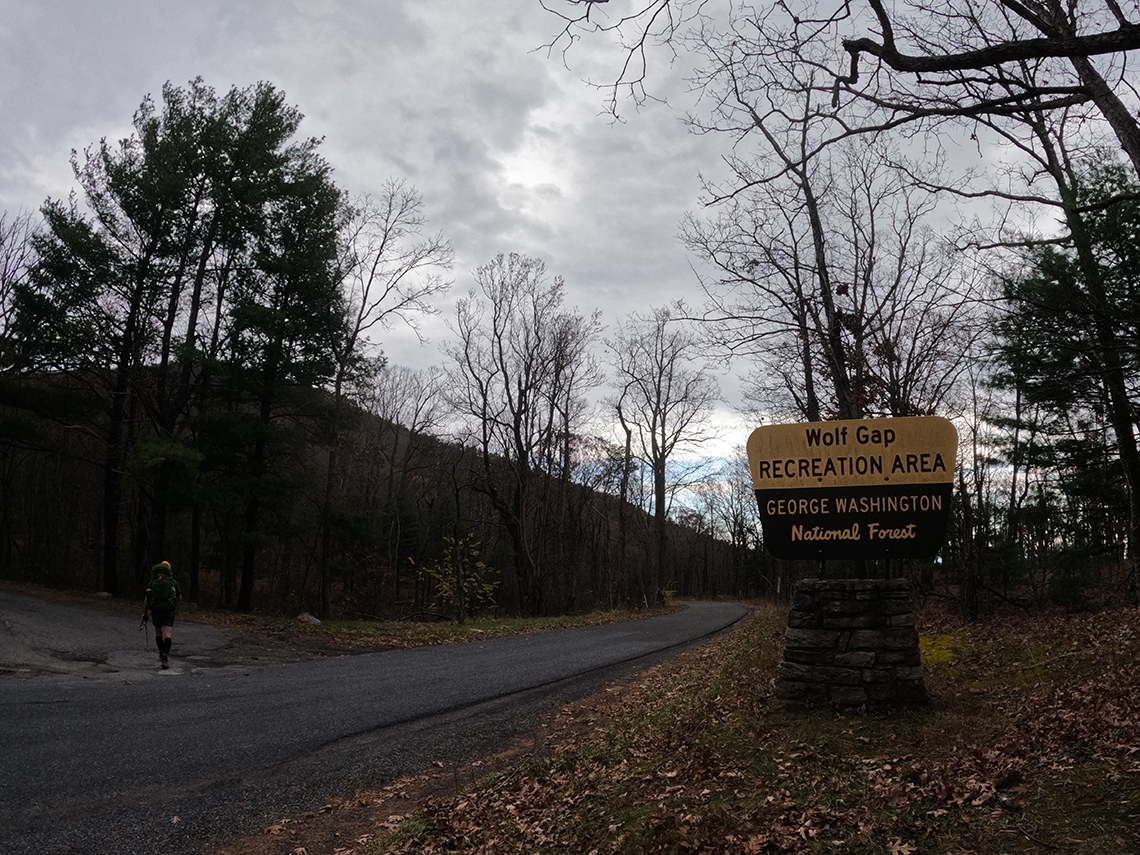
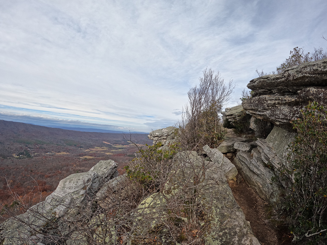
From there, it was a very steep descent down to Wolf Gap where Chris had stashed a few waters in a super secret location. Upon arrival, Chris located the waters and which had thankfully remained a secret and we refilled and rehydrated and even shared some with a hiker from the D.C. area who was finishing up his trip. We also had a bit of lunch and just as we were finishing up, it began to rain. We donned our rain gear and began the steep climb up Mill Mountain Trail to eventually summit Big Schloss. The rain stopped as we approached the top, just in time for us to enjoy the amazing views from the really sweet overlook at Big Schloss.
After summitting Big Schloss, we continued along the ridge making our way to Overmill Cutoff Trail. This section was long and seemed to go on forever. Partly because we were pretty tuckered out from the elevation gain we already had in our legs. But also because we had been hiking for a long time. We finally made it to the cutoff trail, hung a left and headed downhill. We remarked that it was getting late and decided we would skip the spur trail up to the top of Halfmoon Mountain in the interest of arriving at camp with a few minutes of daylight left.
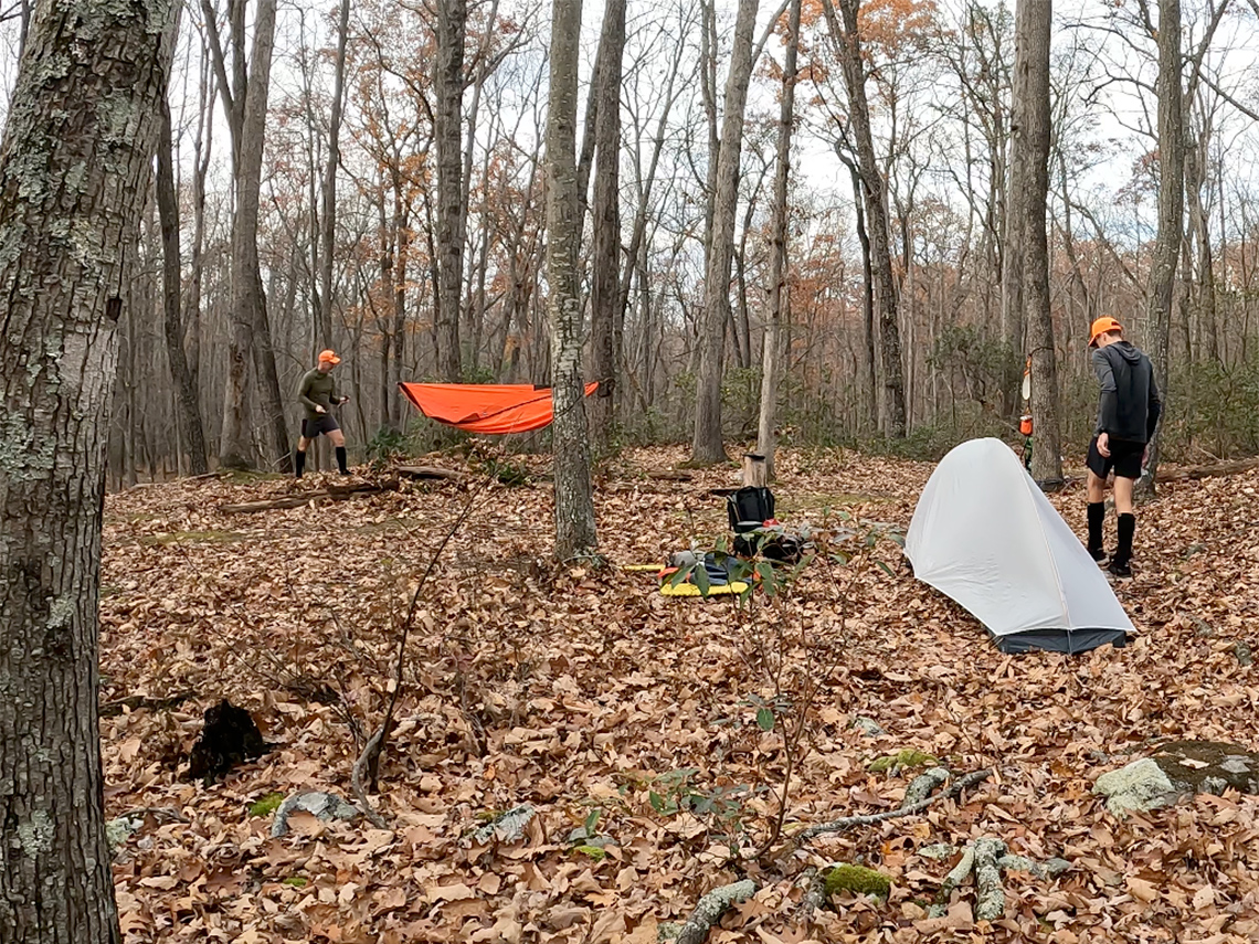
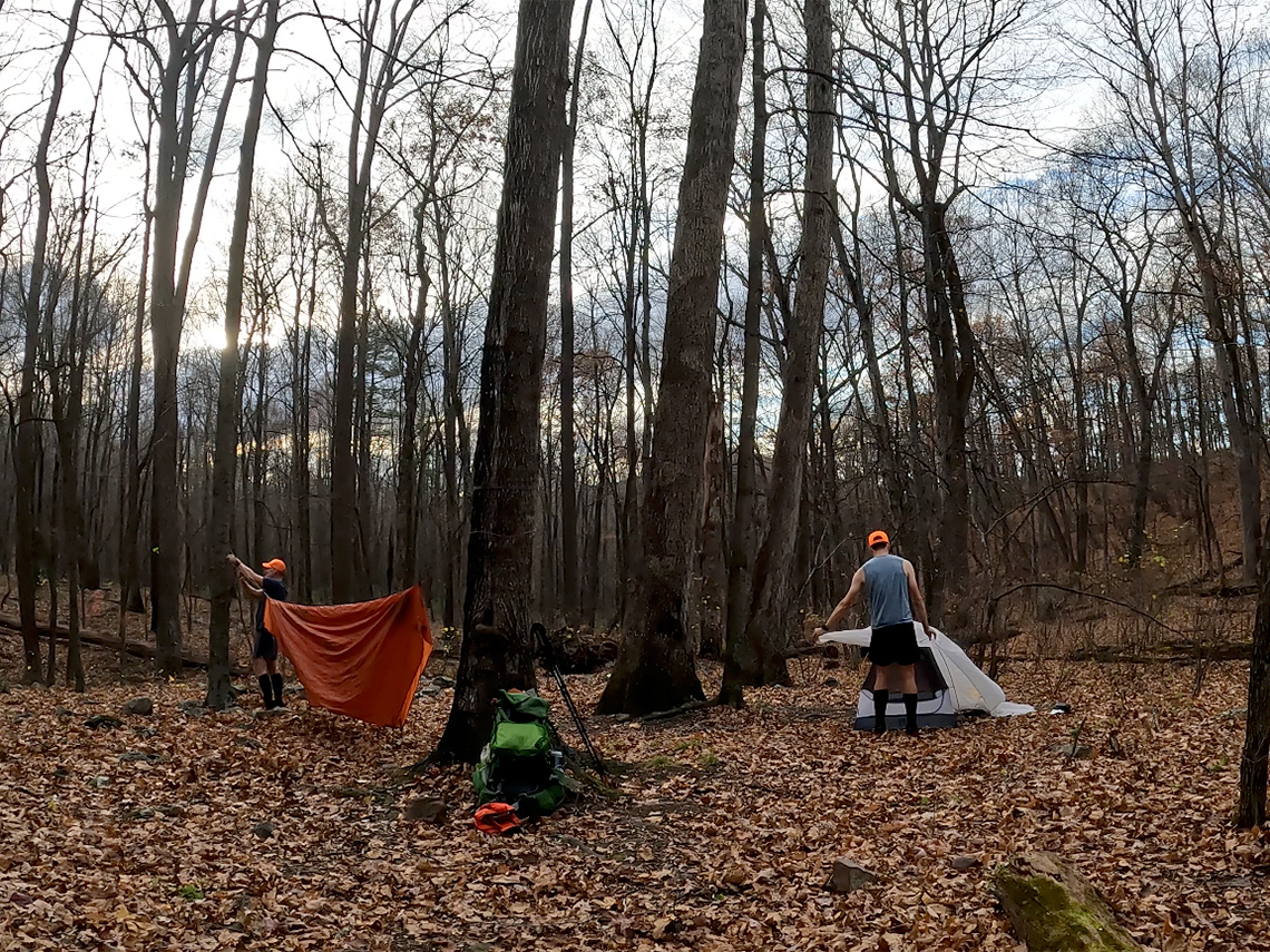
As we descended the trail, our hopes of finding water were slightly fading because all of the tributaries into Halfmoon Run were dry. Just as I had resigned myself to having to ration our water for dinner and maybe not having enough for coffee/breakfast, Chris saw a glint of the sun reflecting off of the creek down in the valley. Water! As we approached the planned campsite at the very bottom of the descent, we heard the sounds of trickling water. It was definitely not the rush of water we were hoping for but it was moving, none the less, and we were grateful for that. We arrived at the campsite and set up our shelters and performed camp chores with a few moments of daylight left to spare. With that, we sat down and enjoyed the campfire and dinner and the silence of the forest.
Day 3
2.8 miles | +358 ft. of gain | -741 ft. of loss
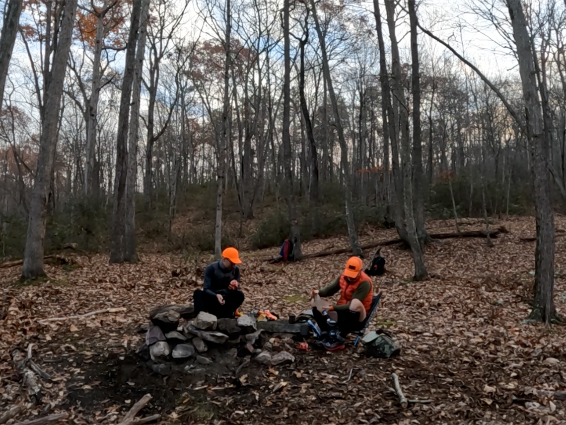
Day 3 started around the same time as day 2; 6:00am. We emerged from our shelters and had a bit of coffee and breakfast while gradually breaking down camp. After a bit of lollygagging, dillydallying, loafing, and dawdling, we got on the trail at about 7:15am.
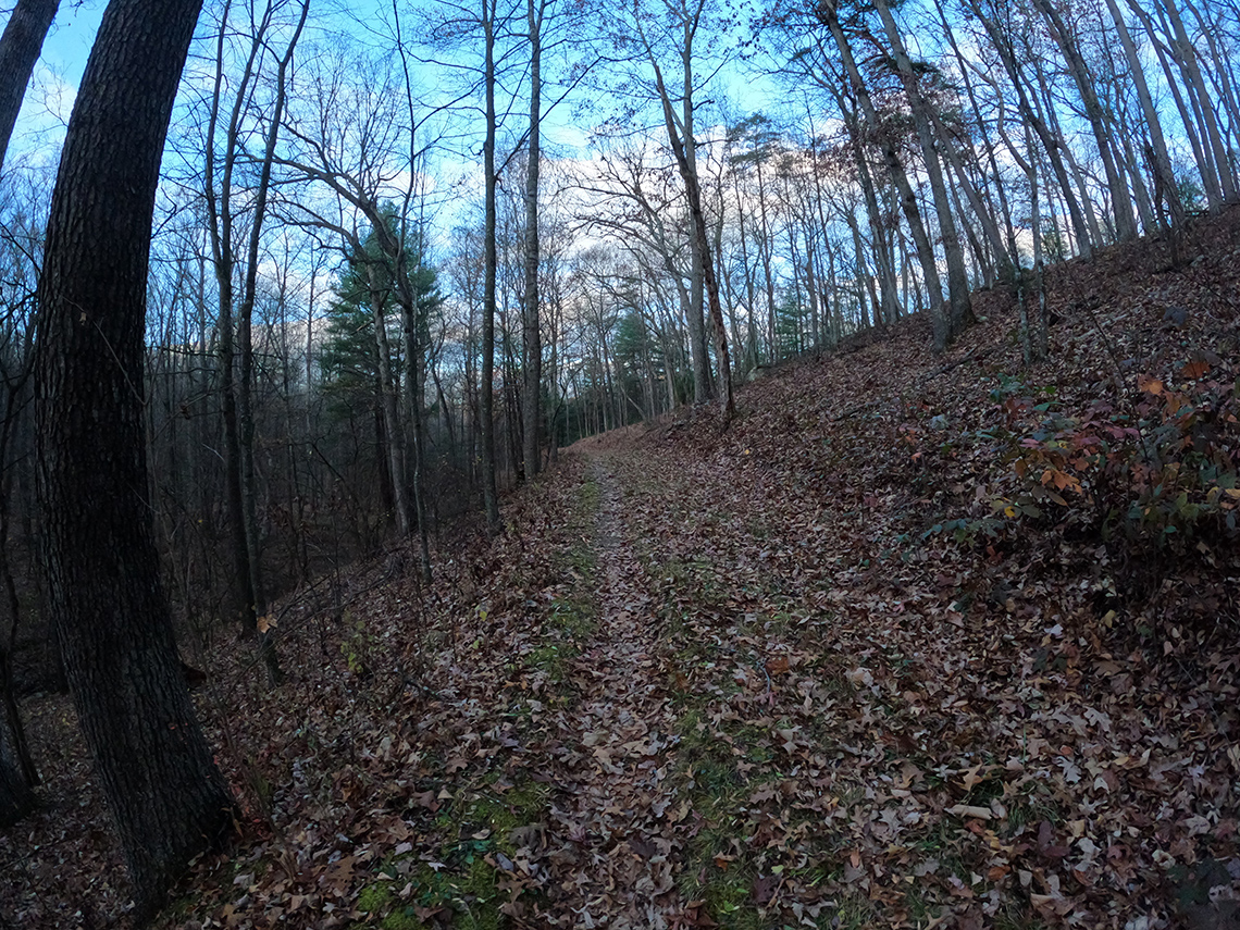
It was a bit colder than the previous morning and as we traced the contours of Bucktail Cutoff Trail meandering in and out of the hollows, we eventually encountered the first rays of the sun and slowly started to warm up. We moved along the trail at a swift pace, trying to stay warm as the trail moved in and out of the mountain's shadow and after only about an hour of hiking, we were back at the trailhead and our vehicles. Trip complete!
Key Considerations and Pro Tips
Water Strategy
Access to water can be a challenge, especially during or after a drought.
- Plan Ahead: While it is possible to spend each night near a water source, detailed planning is essential to confirm water availability.
- Be Prepared: Plan for and be prepared to manage long stretches without water sources.
- Filter Water: It should go without saying, but always filter, boil, or purify any water from any stream or creek.
- Stash Water (If Needed): If conditions are dry, consider dropping water jugs at a central, accessible point like Wolf Gap before starting (Note: This may not be necessary under normal, non-drought conditions).
Navigating Technical Sections
Be ready for a few technical and rocky sections:
- Tibbett Knob: The descent off of Tibbett Knob is quite steep and technical.
- Mill Mountain Trail: The climb up the Mill Mountain Trail from Wolf Gap to Big Schloss is a strenuous section with a steep grade.
- Scrambling: Be prepared for a few rocky ups and downs that require some light scrambling.
- Long Section: The long stretch between Sandstone Spring and the Overmill Cutoff Trail can feel relentless. Pace yourself accordingly.
Wildlife & Food Storage (Bear Safety)
The Perry Valley Loop is situated in prime habitat for black bears and other opportunistic wildlife. While bear canisters are not strictly required on this route, properly hanging your food and scented items is highly encouraged and essential for a safe and responsible trip.
The most effective and common hanging technique is the PCT Method (Pacific Crest Trail Method), as it makes the food bag very difficult for a bear to knock down or reach.
Pro Tip: Look for a sturdy "Y" branch before sunset and throw your line over it so you are not scrambling in the dark to secure your food.
Final Thoughts
Given the ease of access, the number of well-maintained trails in the area, and the amazing views, the Perry Valley Loop is highly recommended. If you are looking for a great weekend loop in the Virginia/West Virginia region, definitely add this one to your list!
Check out the write-up Chris put together along with its accompanying video!